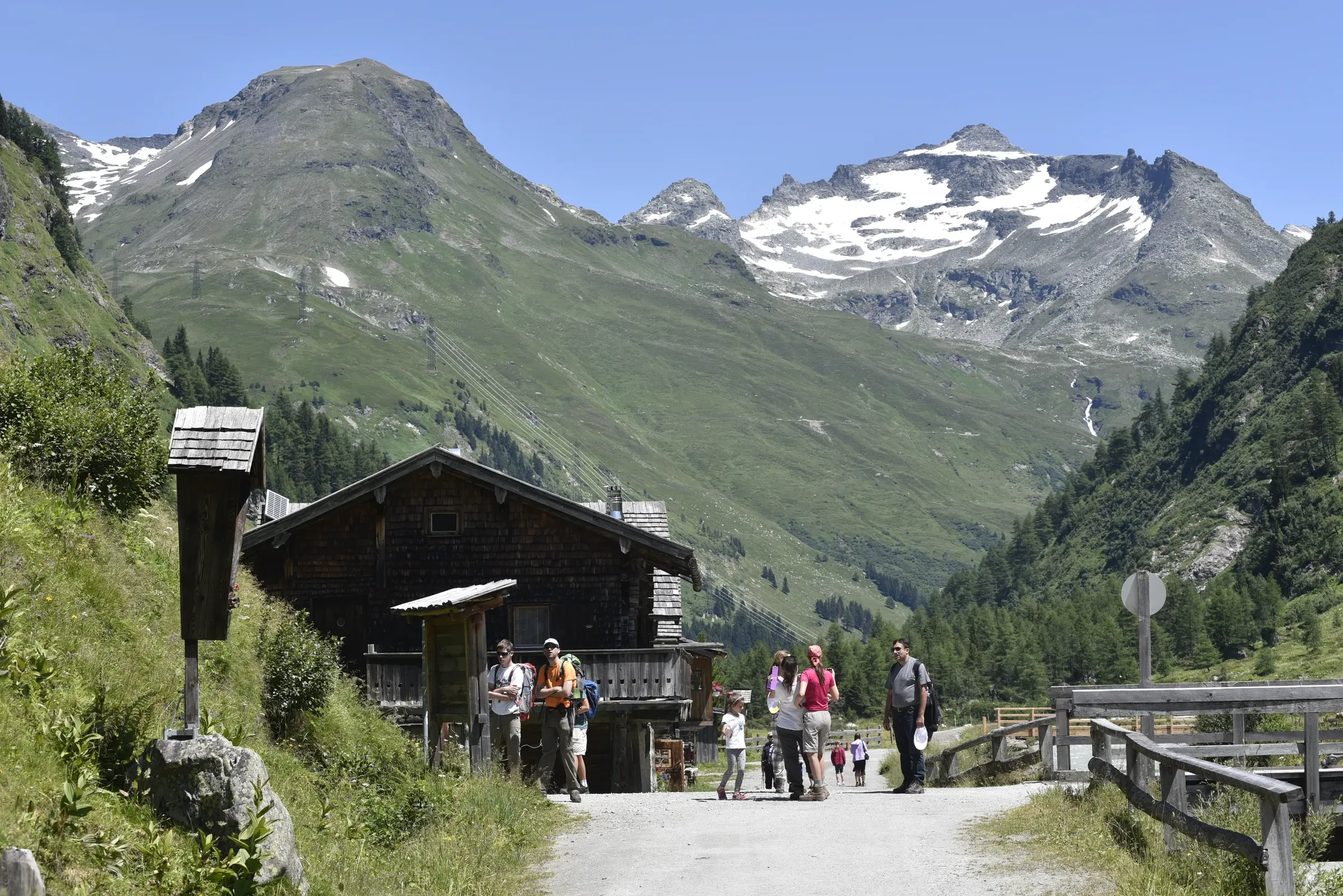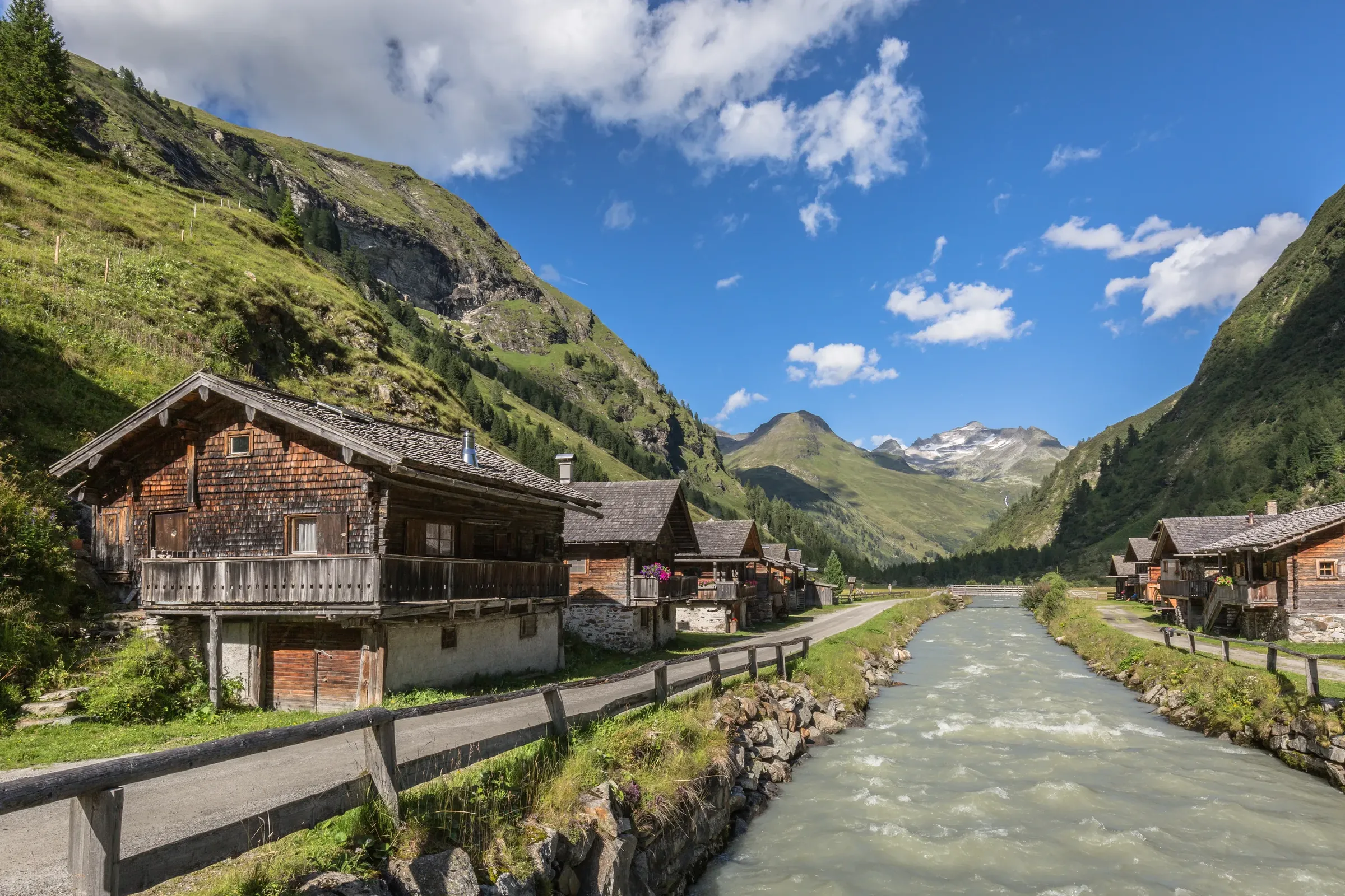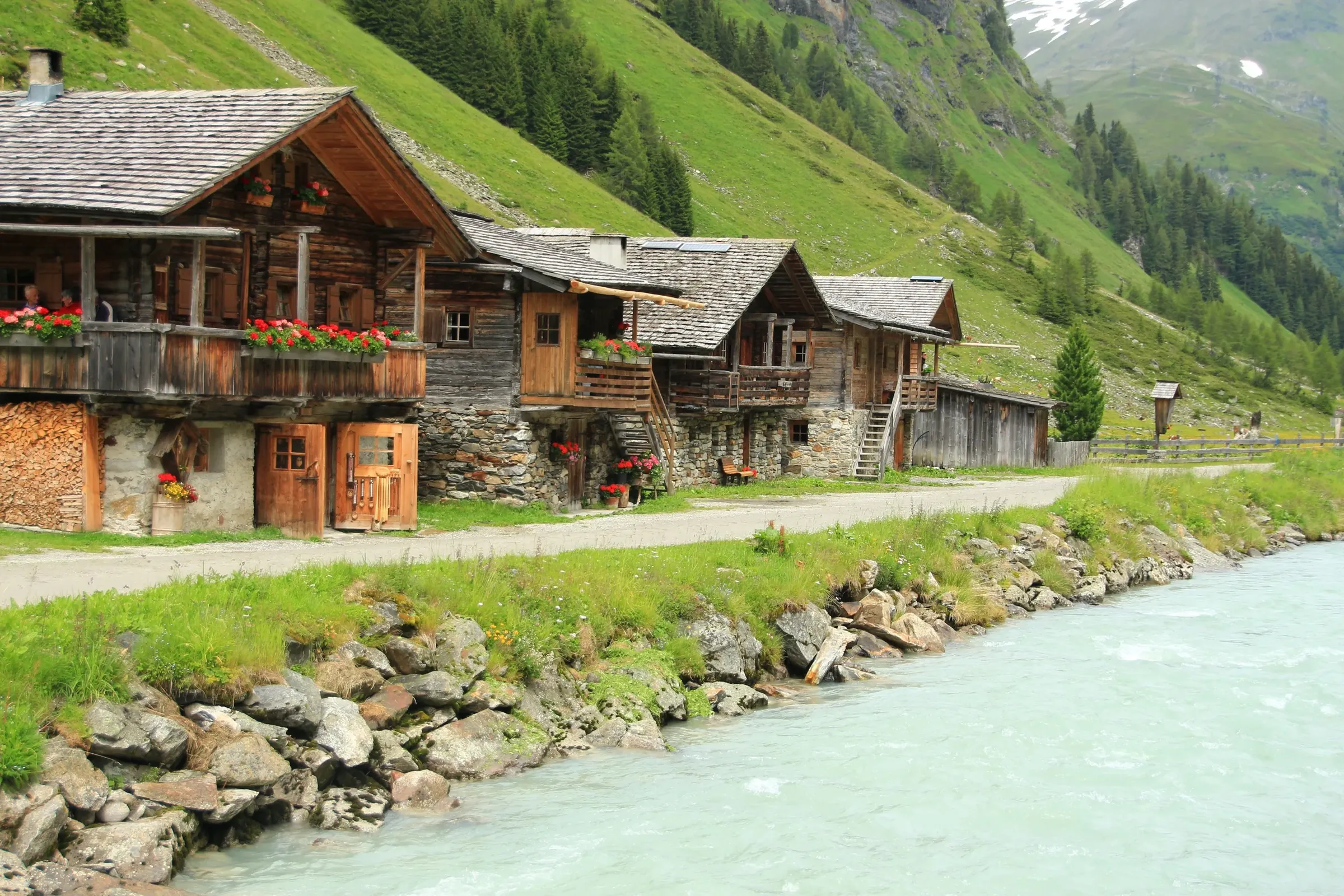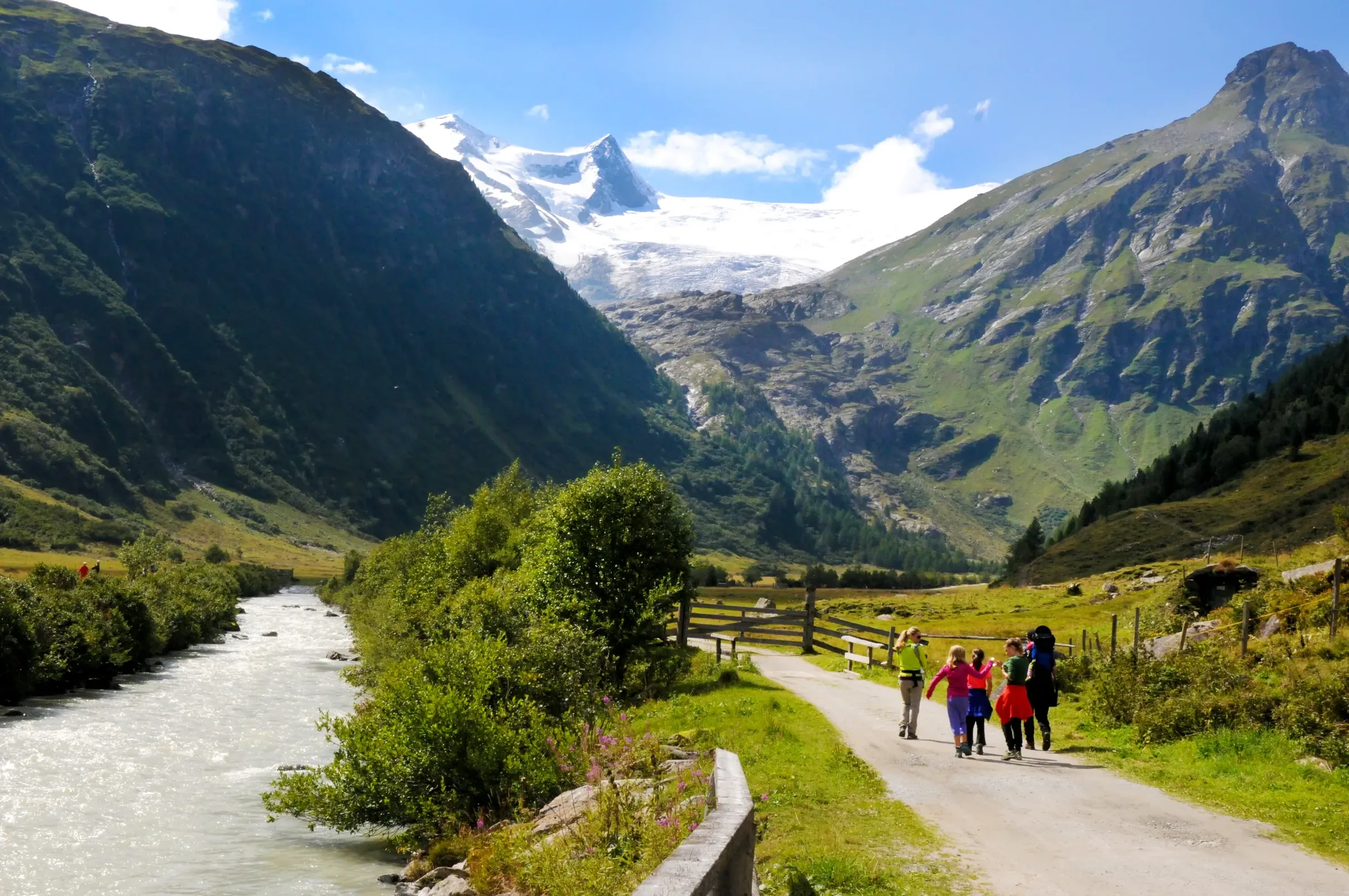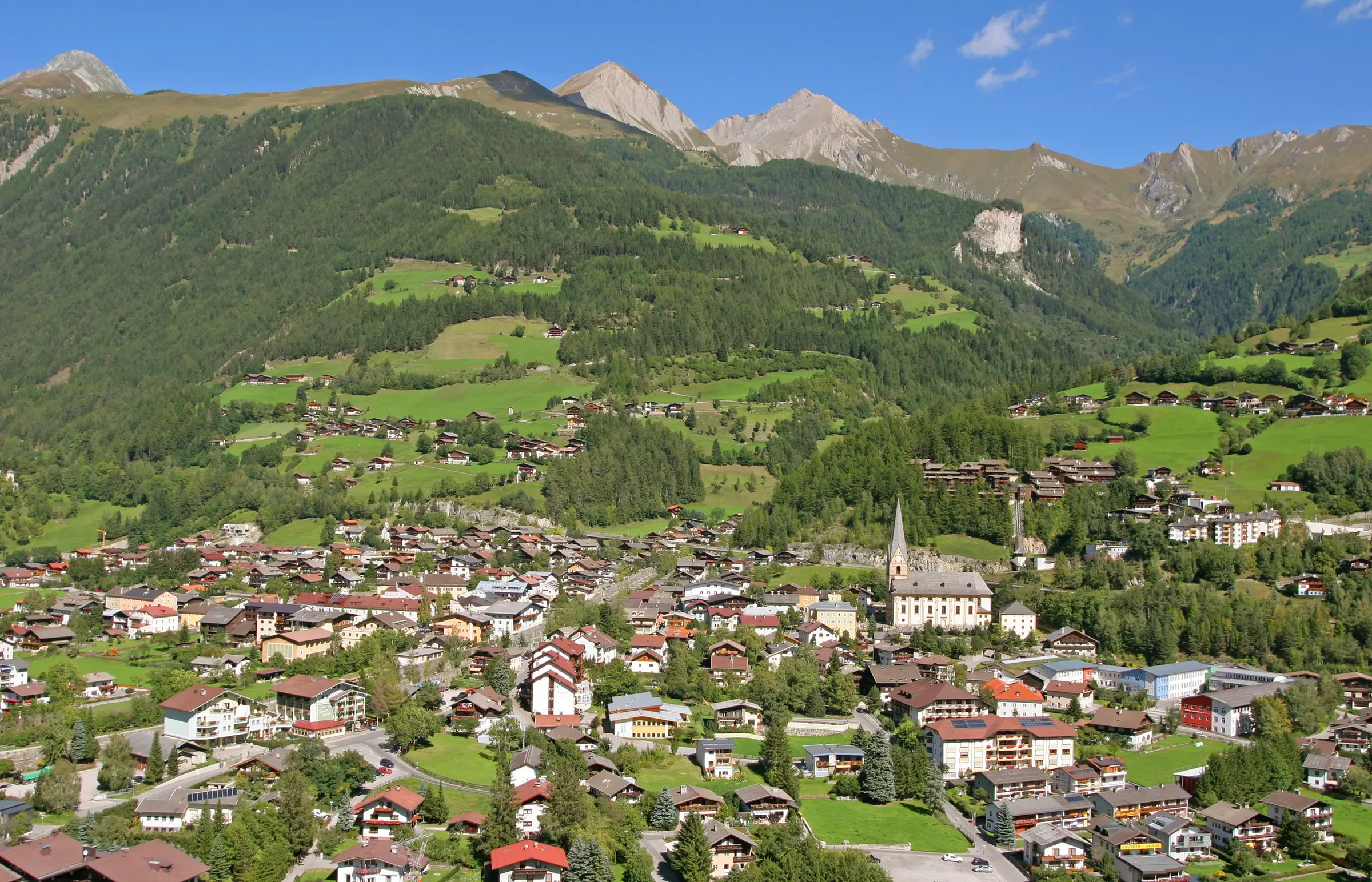
Valleys and villages of Osttirol

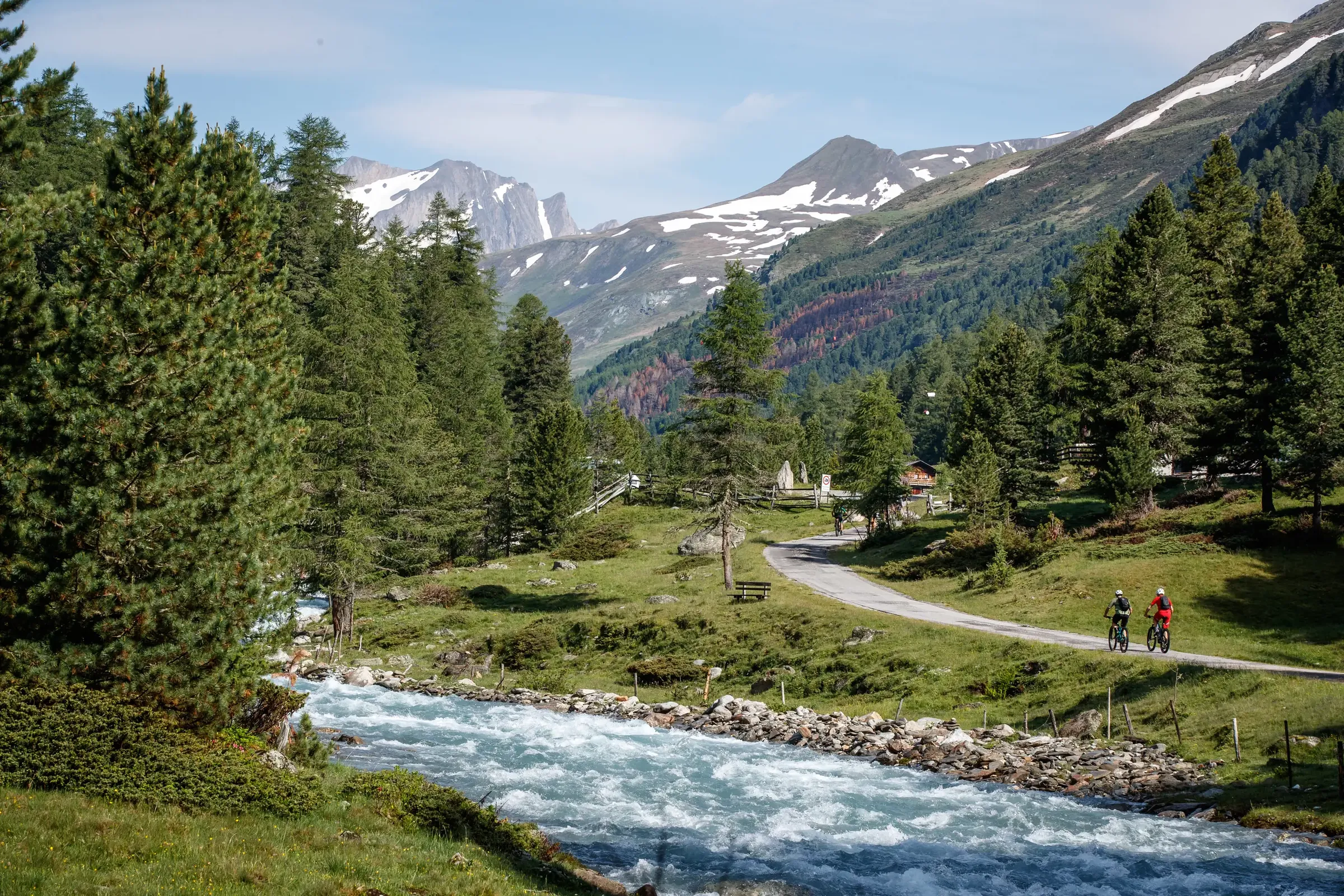
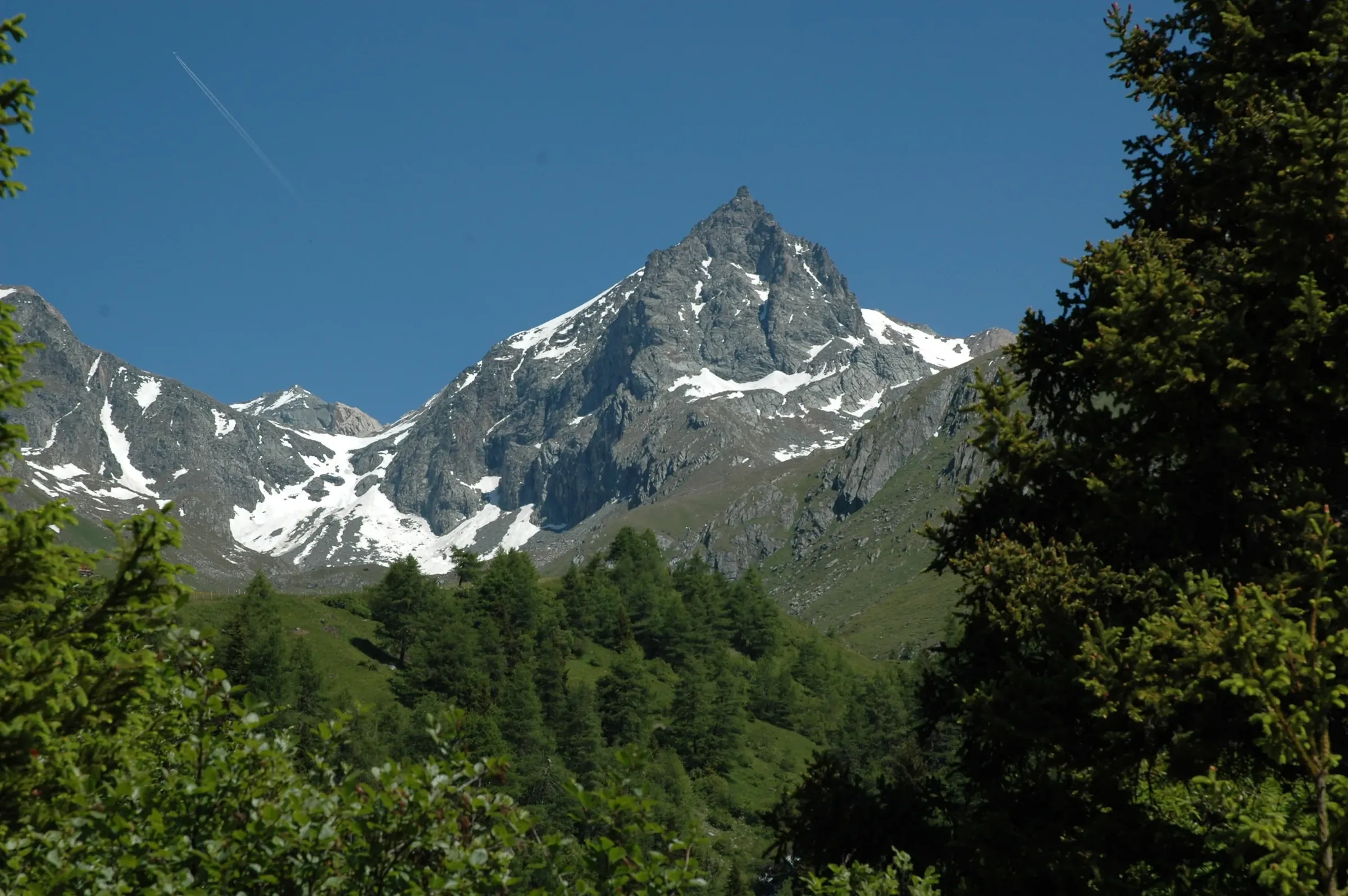
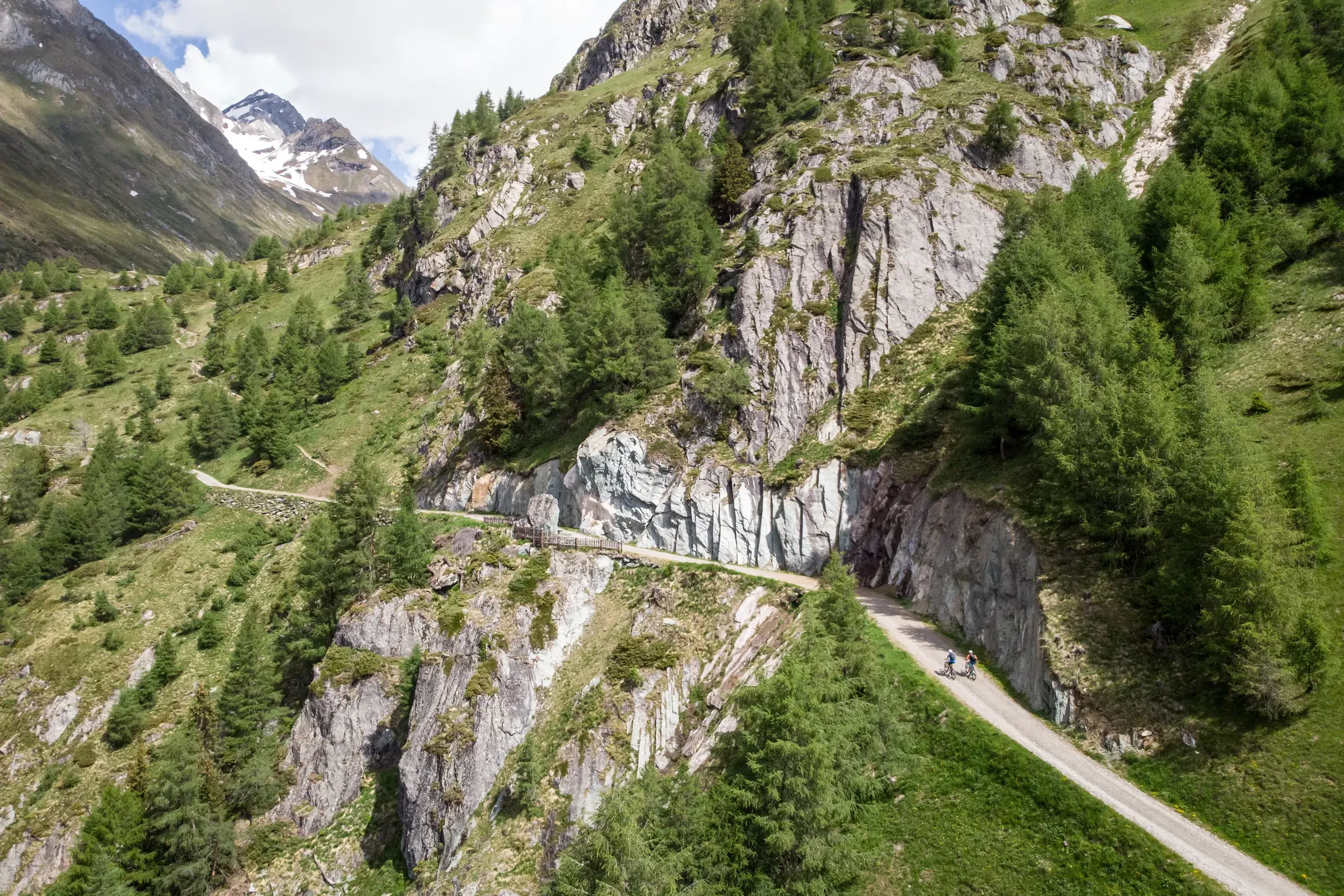
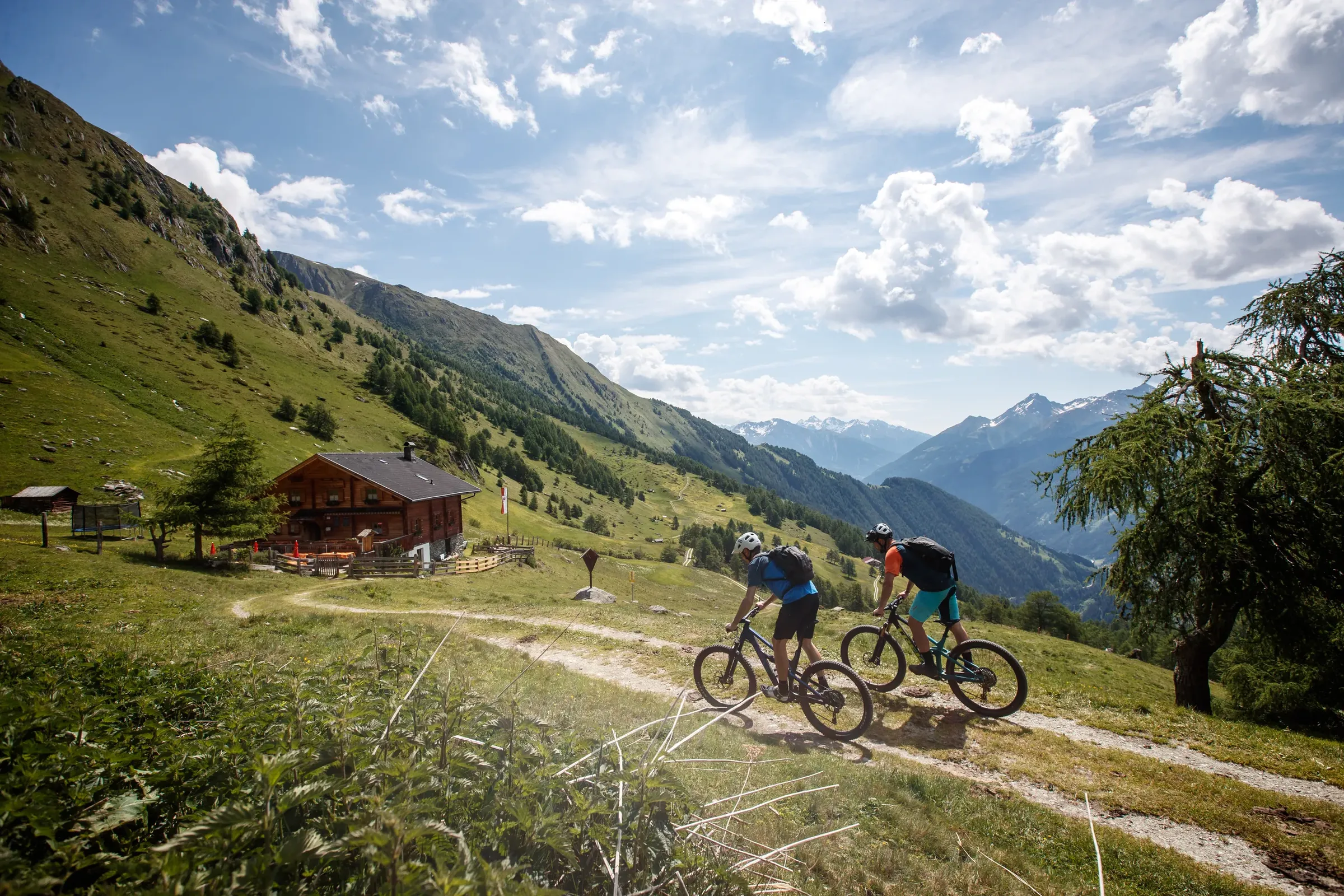
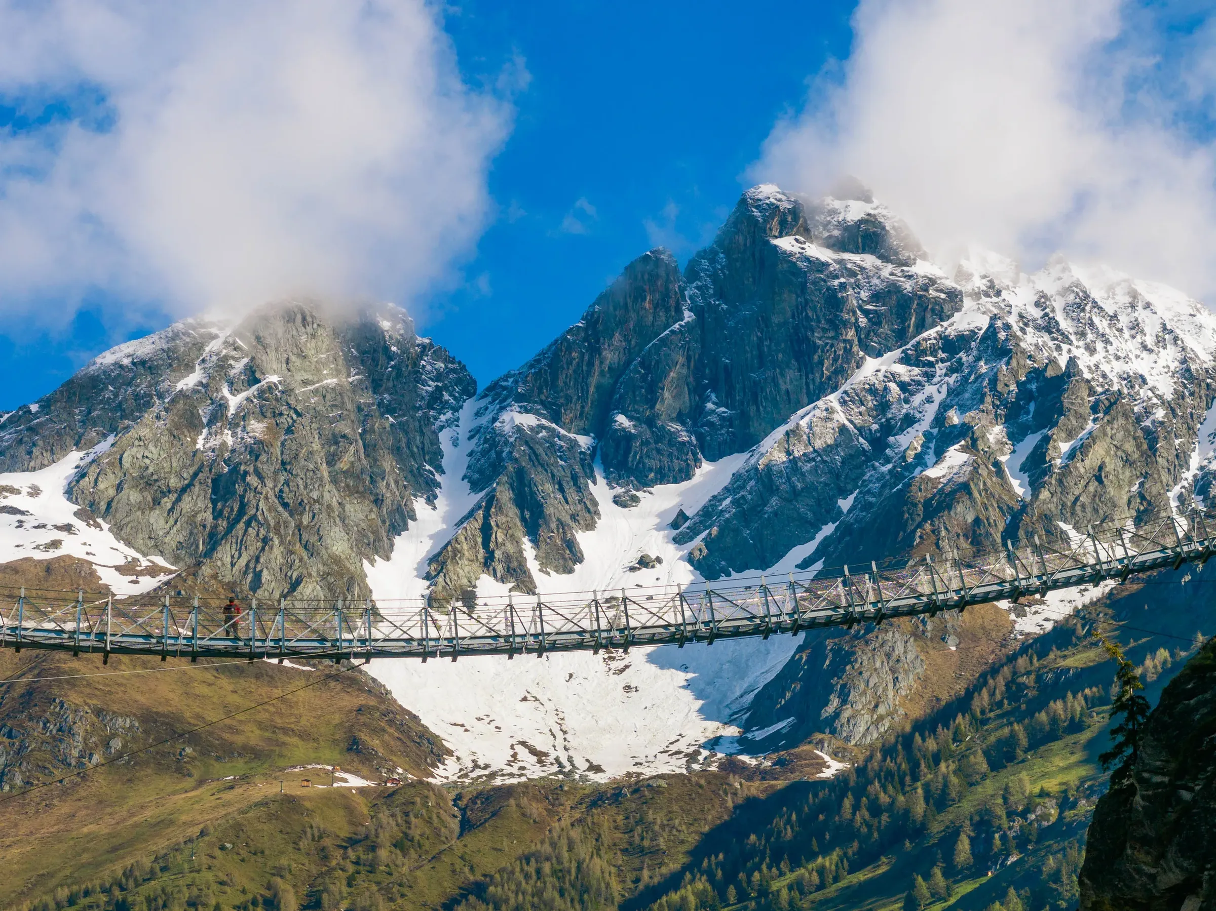
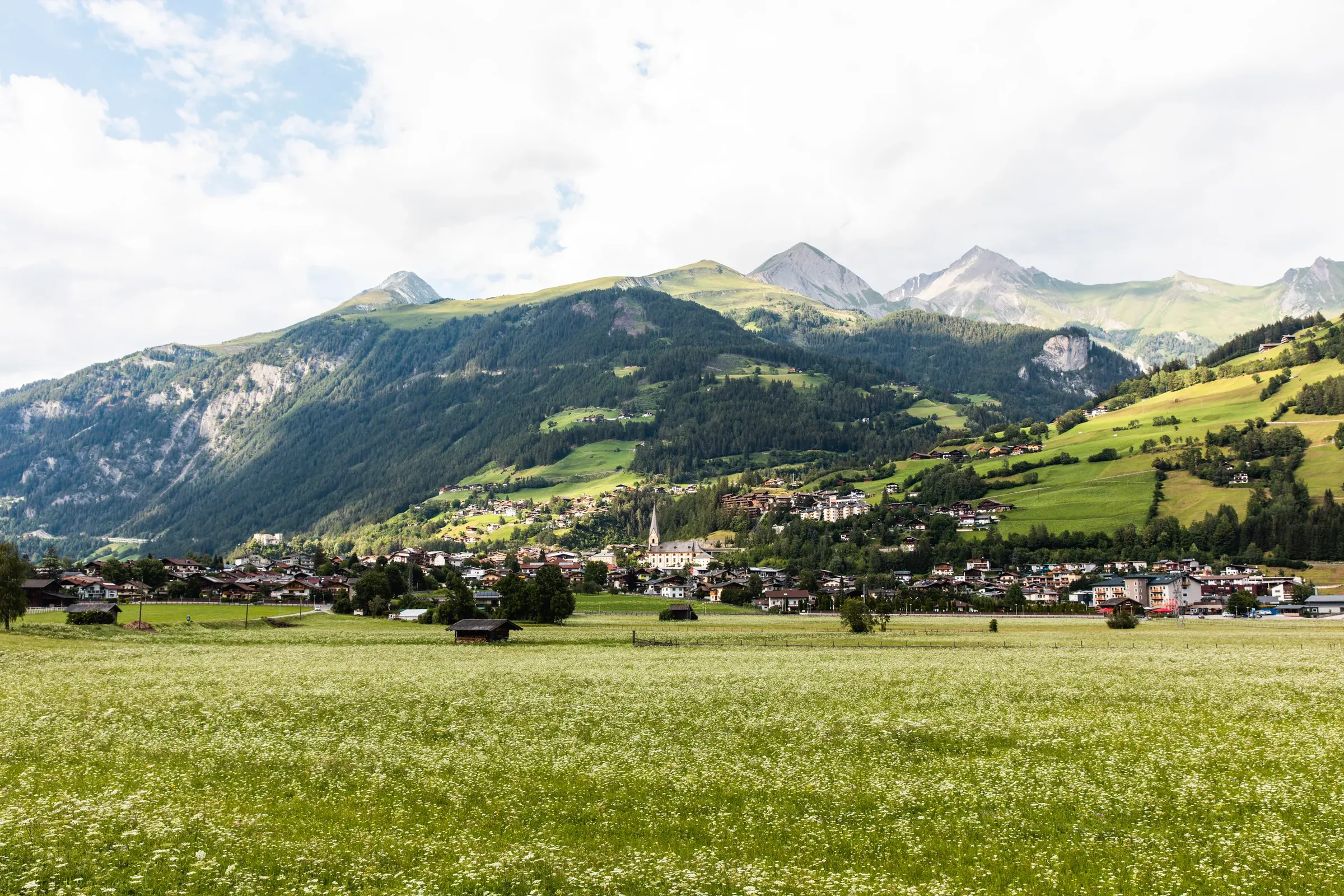
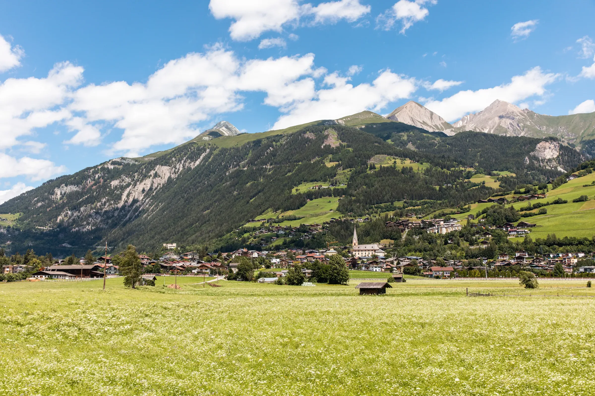
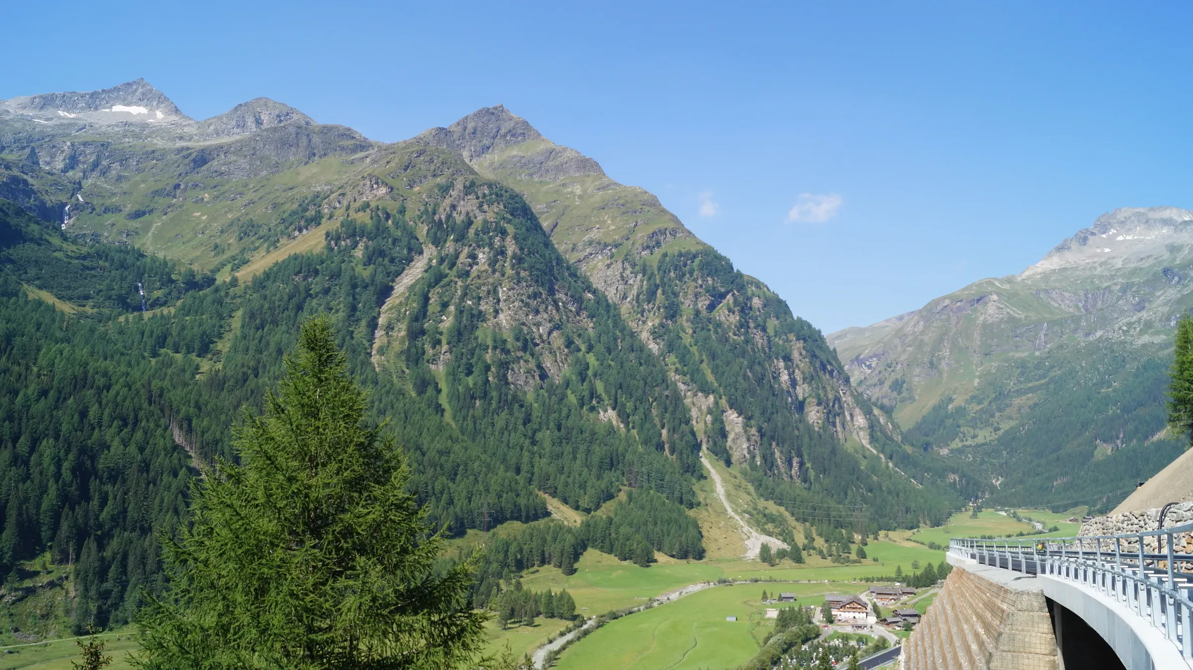
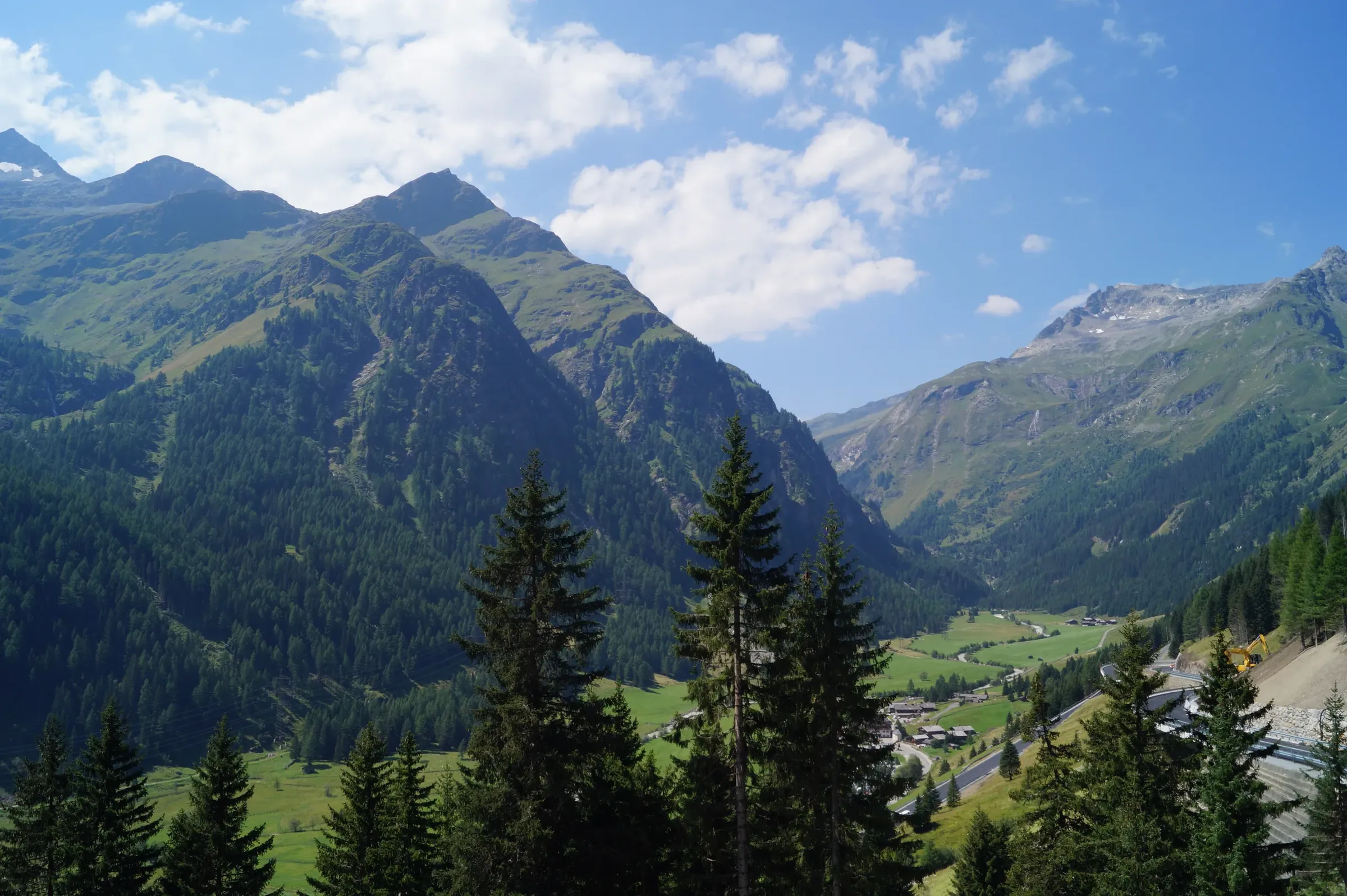
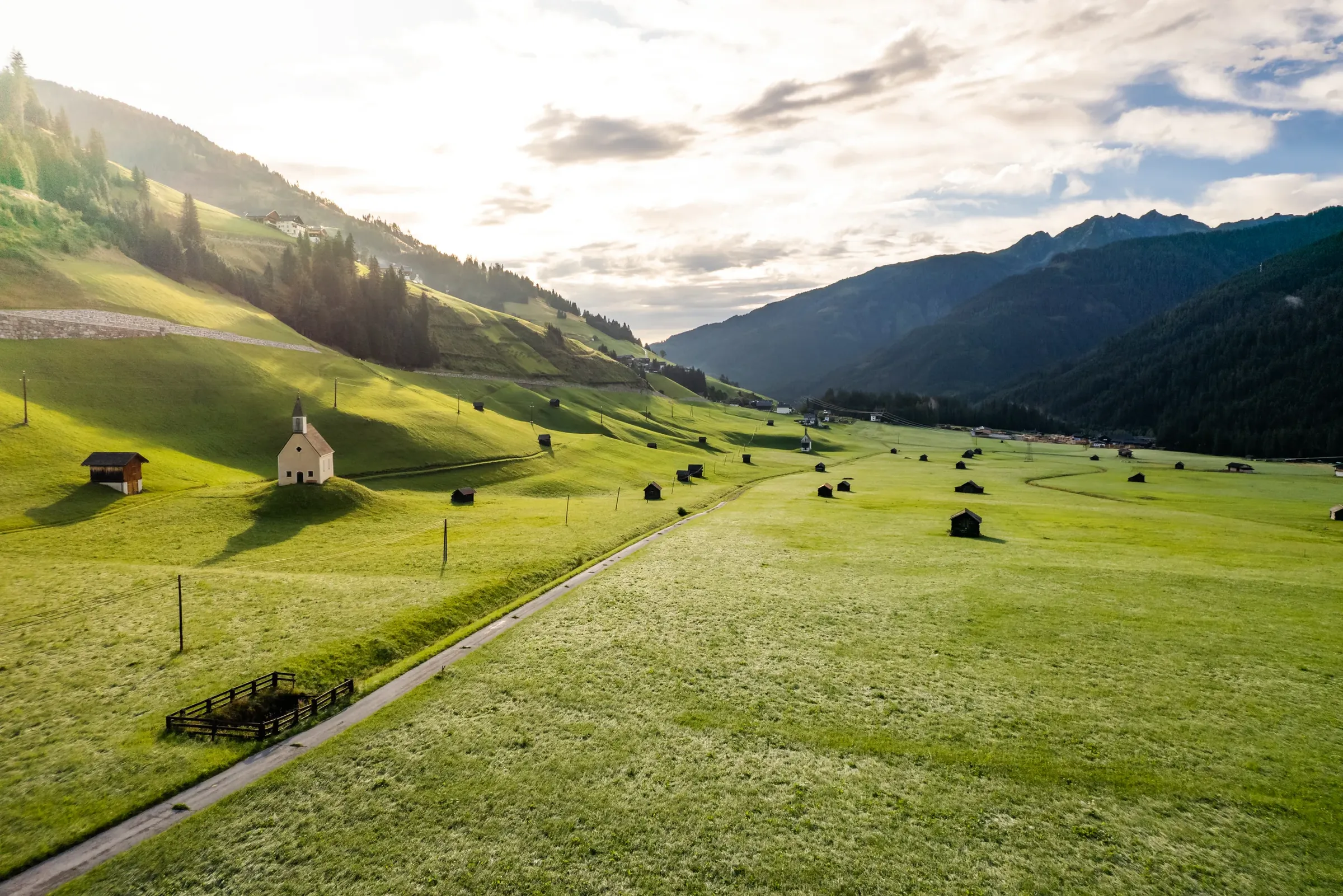
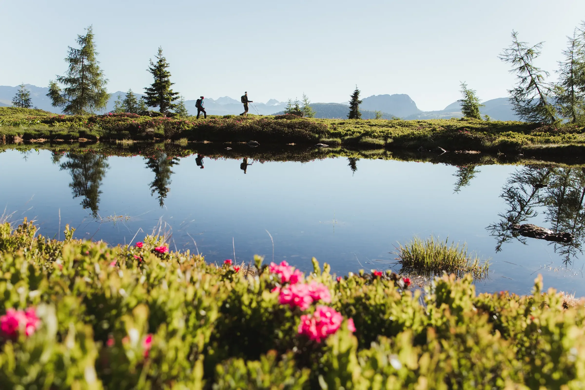
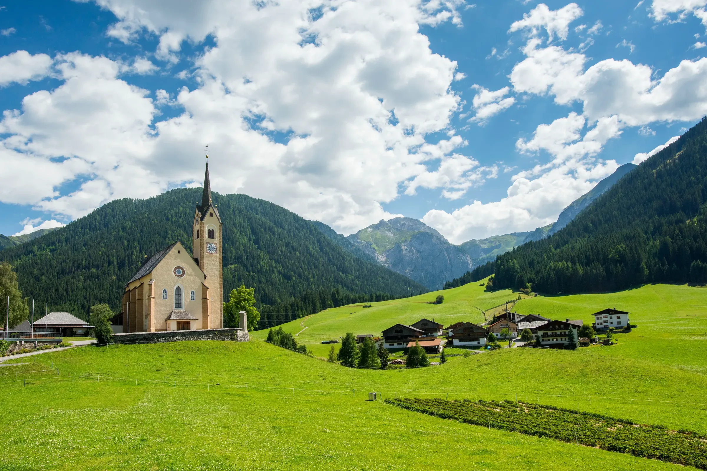
Each valley has its own character, from the sunny basin around Lienz to remote mountaineering villages.

Image credit: © TVB Osttirol / Romeo Felsenreich

At a glance

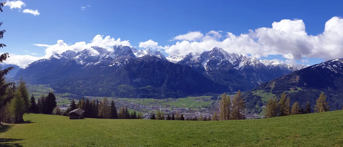
  • Panorama of the snowy Lienz Dolomites above the green Lienz valley floor
    © TVB Osttirol / Johanna Troyer

    Lienz basin

    Around Lienz lies the widest and sunniest part of the district, where the Isel joins the Drava (Drau) and most people live. Villages include Nußdorf-Debant, Dölsach with the Roman site of Aguntum, Lavant, Tristach and Amlach at the foot of the Lienz Dolomites, and the sunny hillside villages of Thurn, Gaimberg and Oberlienz. To the east, the road climbs over the Iselsberg pass into Carinthia.
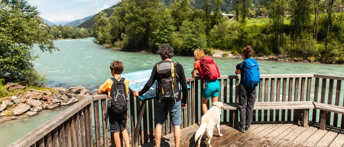
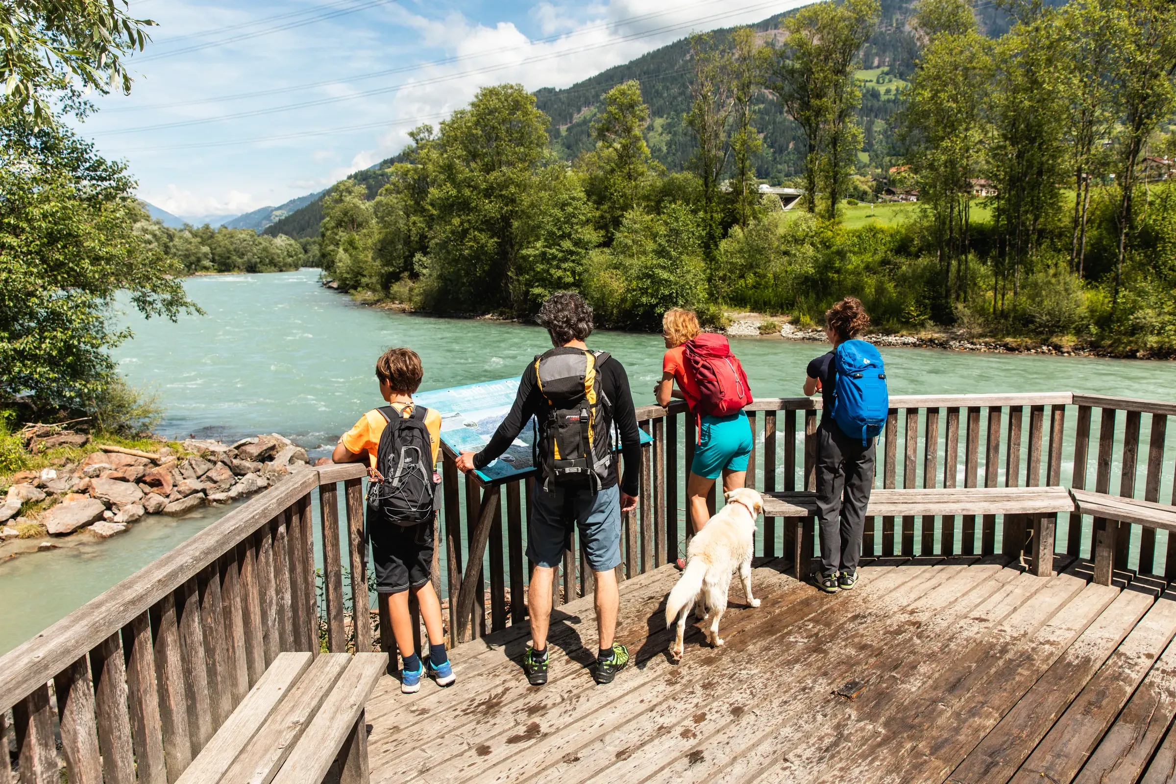
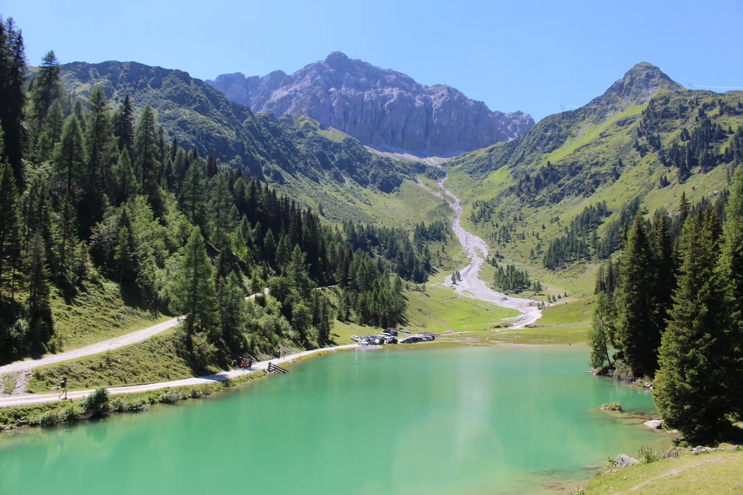
  • Family with a dog looking from a wooden platform at the turquoise Isel
    © TVB Osttirol / Ramona Waldner

    Isel valley

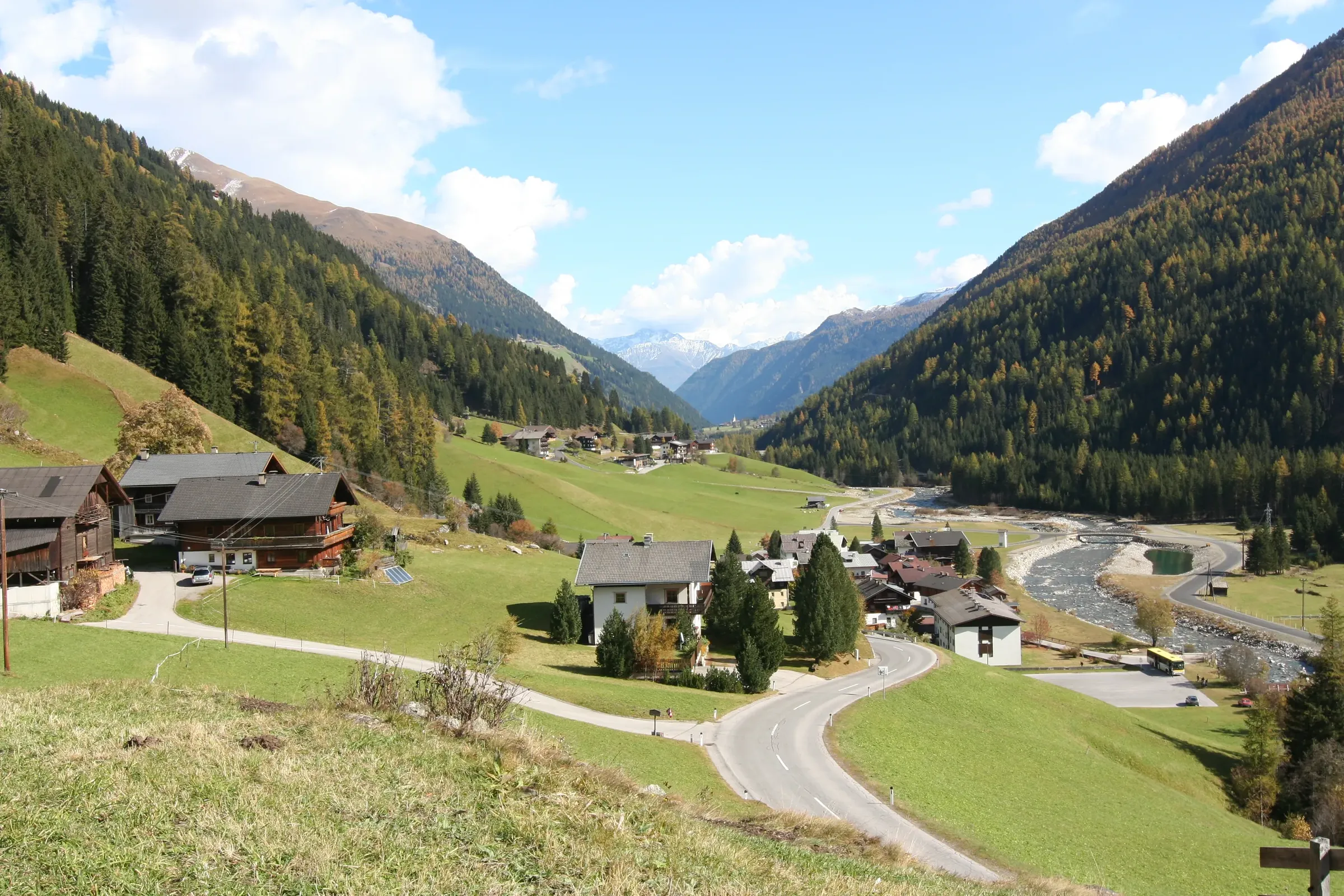
    The Iseltal runs north from Lienz through Ainet, Schlaiten and St. Johann im Walde to Huben, where the Kalser Tal and Defereggental branch off, and on to Matrei in Osttirol, the gateway to Hohe Tauern National Park and home of its visitor centre, the Nationalparkhaus. The Iseltrail follows the river in five stages from Lienz all the way to the Umbal glacier.

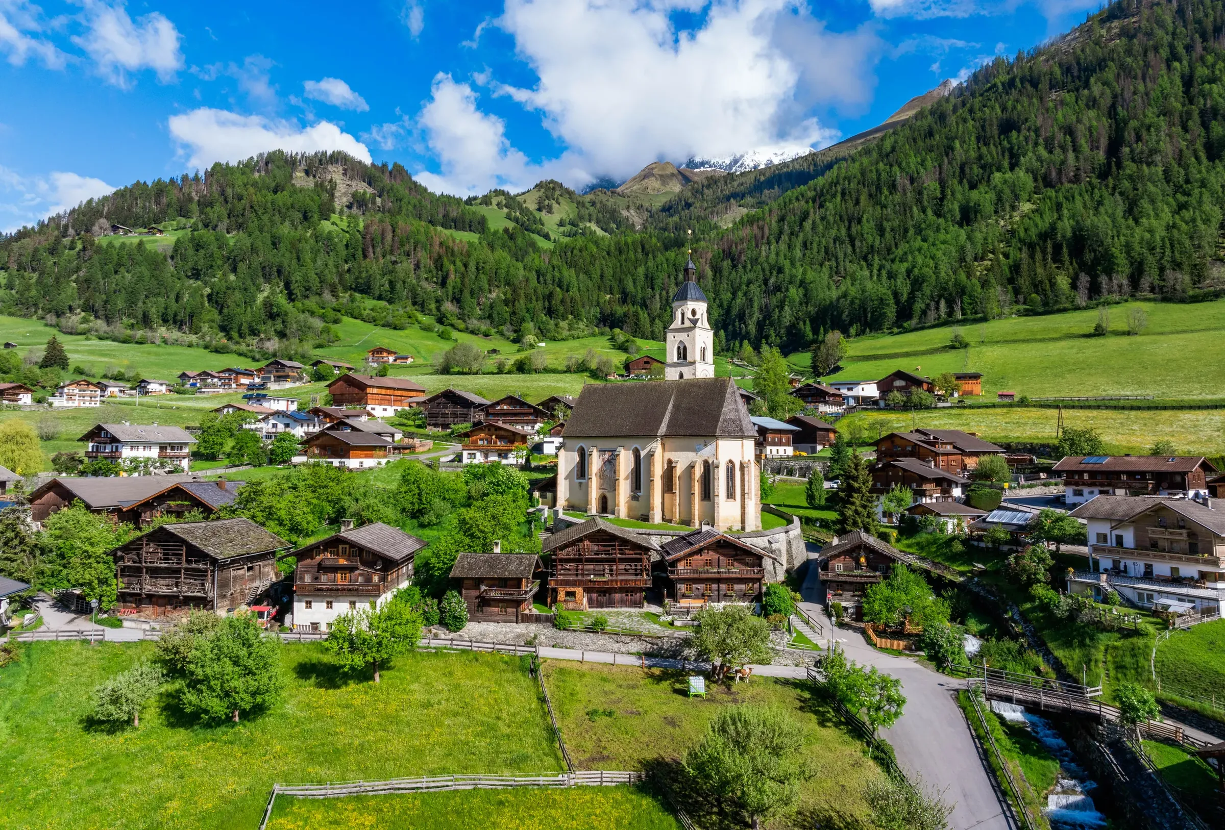
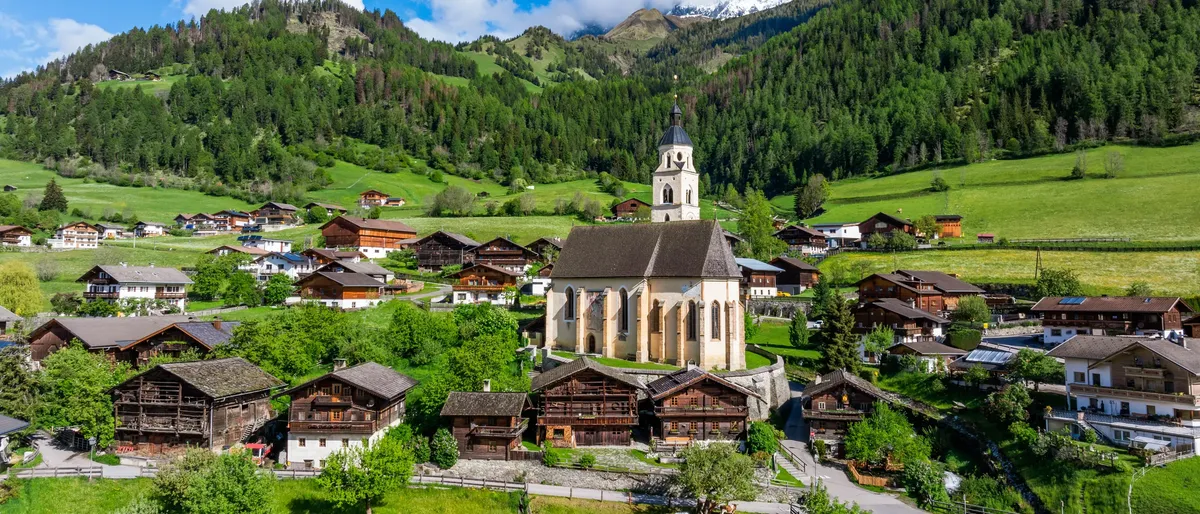
  • Aerial view of Obermauern with its pilgrimage church, green meadows all around
    © TVB Osttirol / Peter Maier

    Virgental

    West of Matrei, the Virgental climbs for about 15 kilometres between the Venediger group and the Lasörling ridge. It is home to two municipalities, Virgen and Prägraten am Großvenediger. Stop at Obermauern for the late Gothic pilgrimage church of Maria Schnee with frescoes by Simon von Taisten. At the head of the valley, the Umbal Falls thunder down.

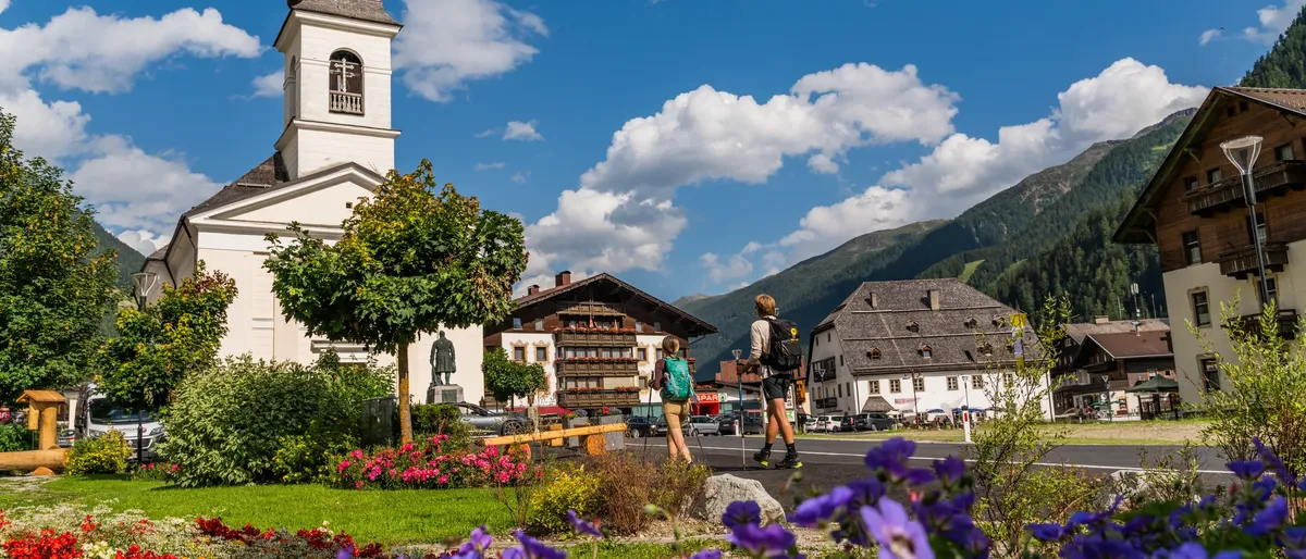
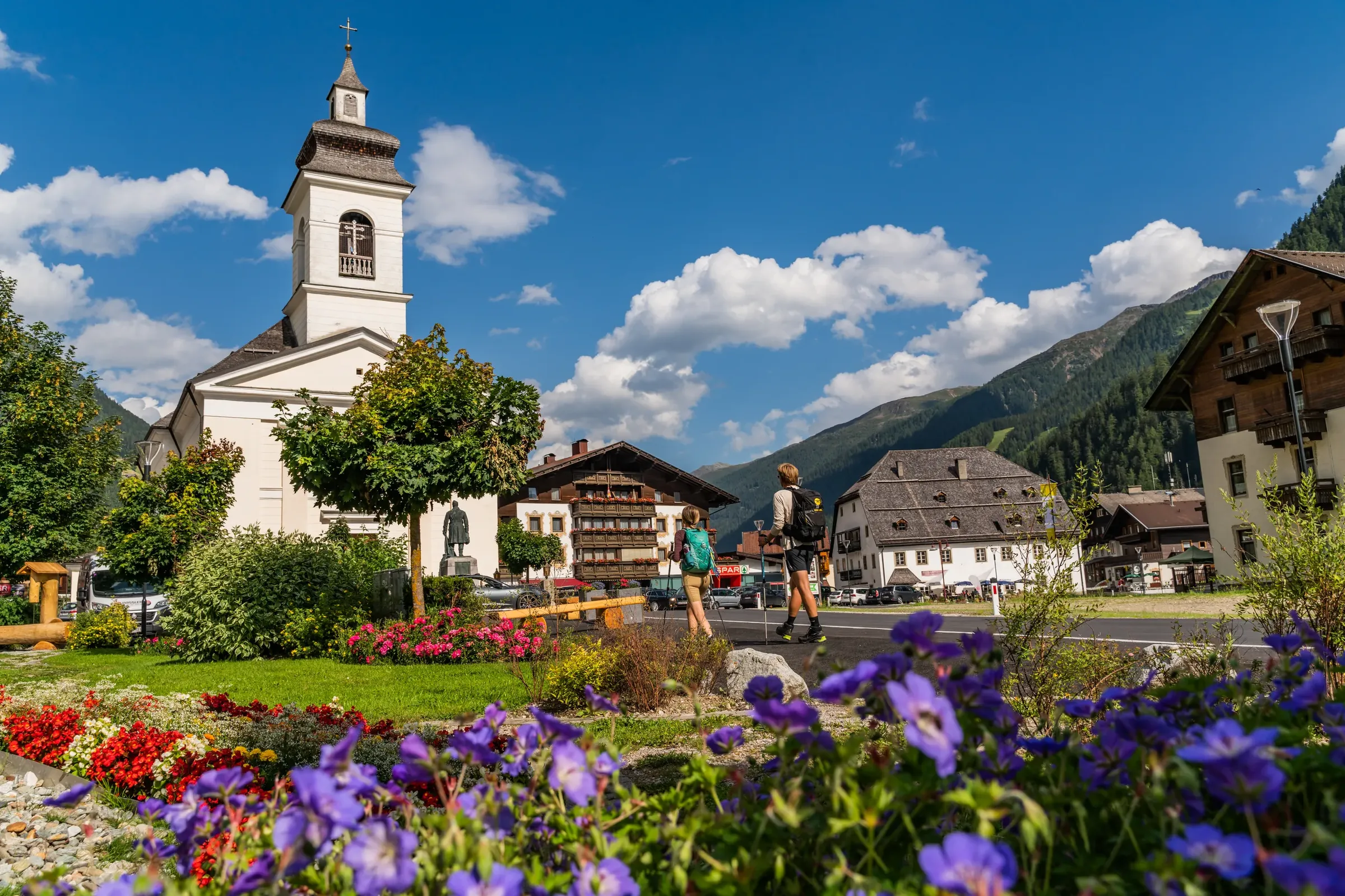
  • Parish church and inns in the centre of St. Jakob, flowers in front, two people with backpacks
    © TVB Osttirol / Peter Maier

    Defereggental

    With Hopfgarten, St. Veit and St. Jakob, the Defereggental is one of the most thinly populated areas in the Austrian Alps. In summer a road crosses the Staller Sattel (2,052 m) into South Tyrol's Antholz (Anterselva) valley; on the Italian side it is single-lane with traffic lights, and the pass is closed in winter. Don't miss the Jagdhausalm above 2,000 metres: sixteen stone houses and a chapel, first recorded in 1212 and still grazed by farmers from South Tyrol, mostly from Rein in Taufers (Riva di Tures).

  • View of Kals am Großglockner and the surrounding mountains
    © TVB Osttirol / Ronald Kalchhauser

    Kalser Tal

    Kals am Großglockner lies at about 1,300 metres right below Austria's highest peak. The Kalser Glocknerstraße, a toll road, leads from here up to the Lucknerhaus. Walk through the Daberklamm gorge into the peaceful Dorfertal, where local voters rejected a large hydropower reservoir in 1987.

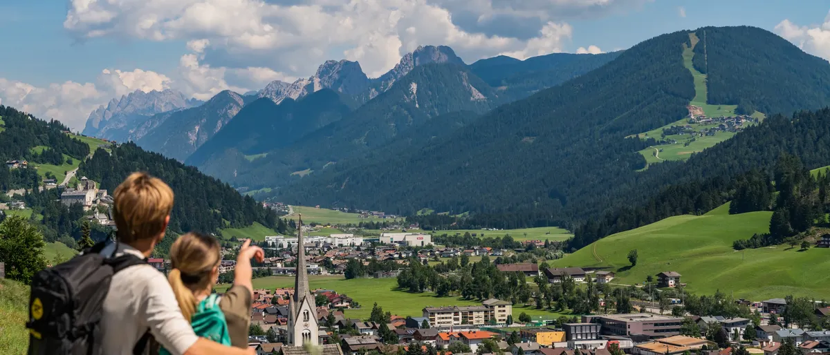
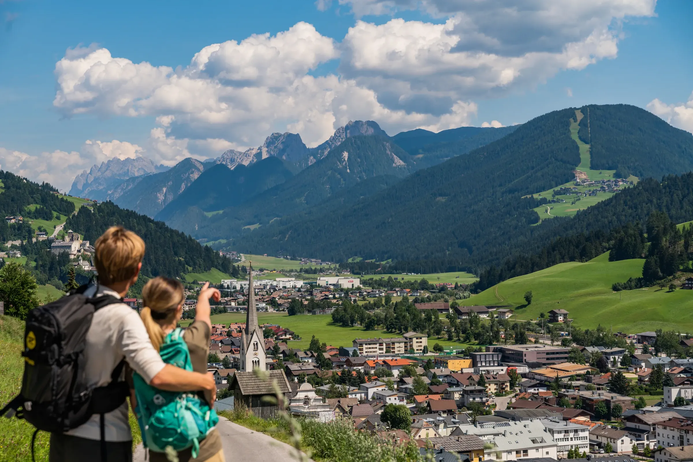
  • Two people with backpacks pointing at Sillian in the valley, Dolomite peaks behind
    © TVB Osttirol / Peter Maier

    Puster Valley

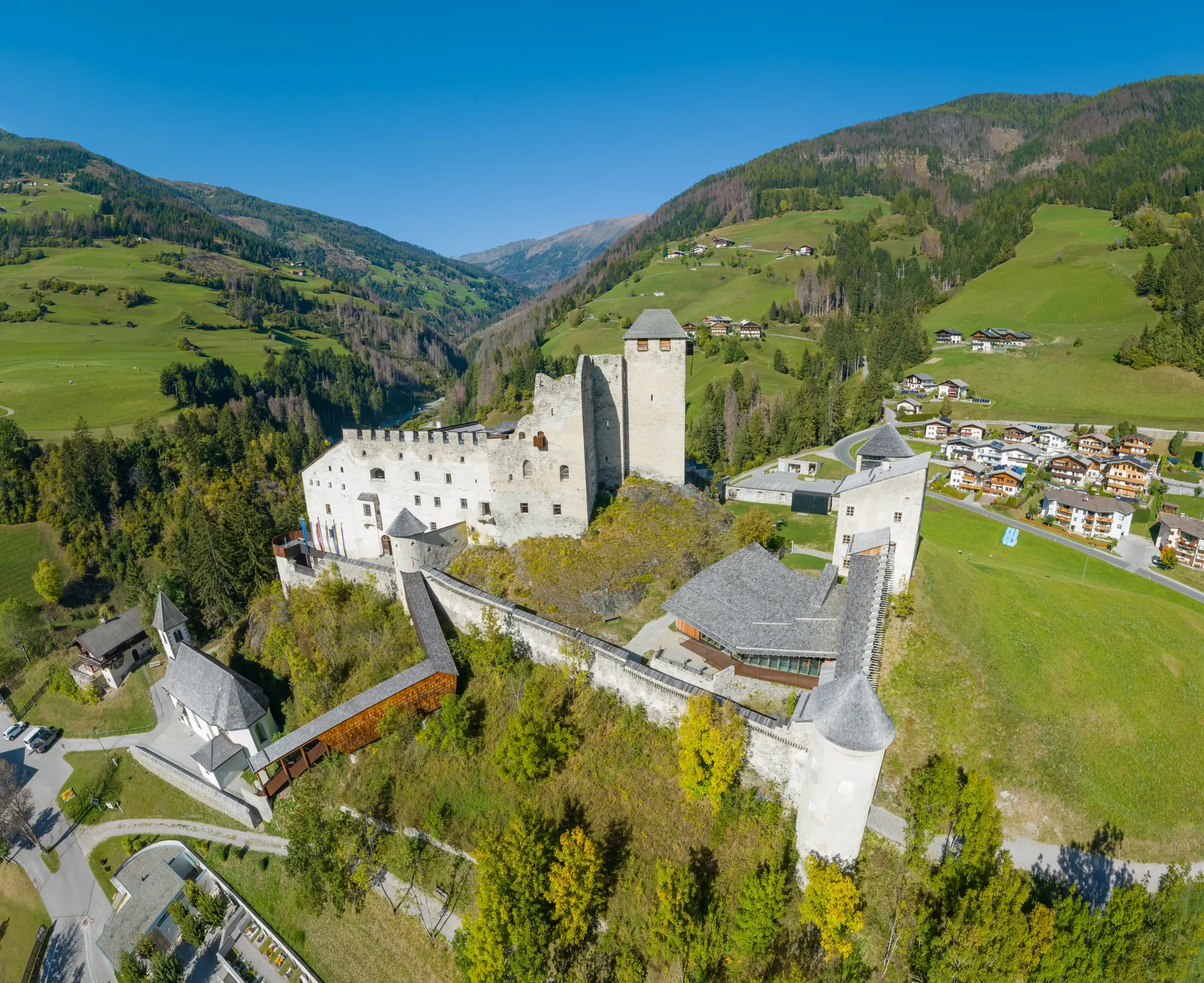
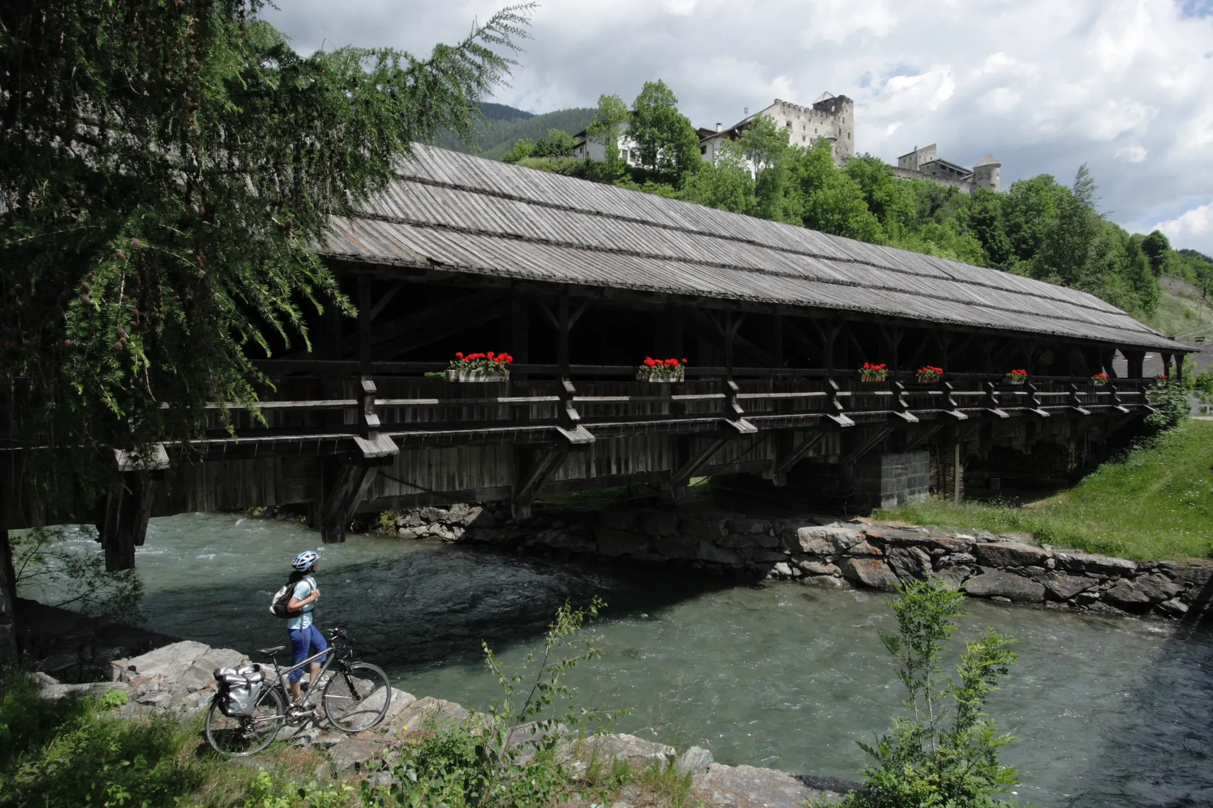
    West of Lienz, the Pustertal follows the Drava through Leisach, Assling, Anras, Abfaltersbach and Strassen to Heinfels and Sillian on the Italian border, then continues into South Tyrol via San Candido (Innichen) and Dobbiaco (Toblach). Heinfels Castle watches over the valley; its keep dates from the early 13th century, and after a thorough restoration it has been open as a museum since 2020.

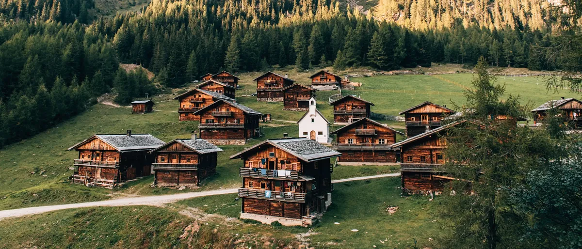
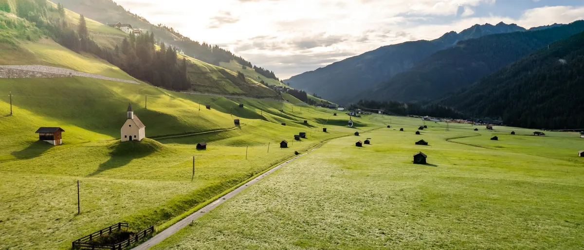
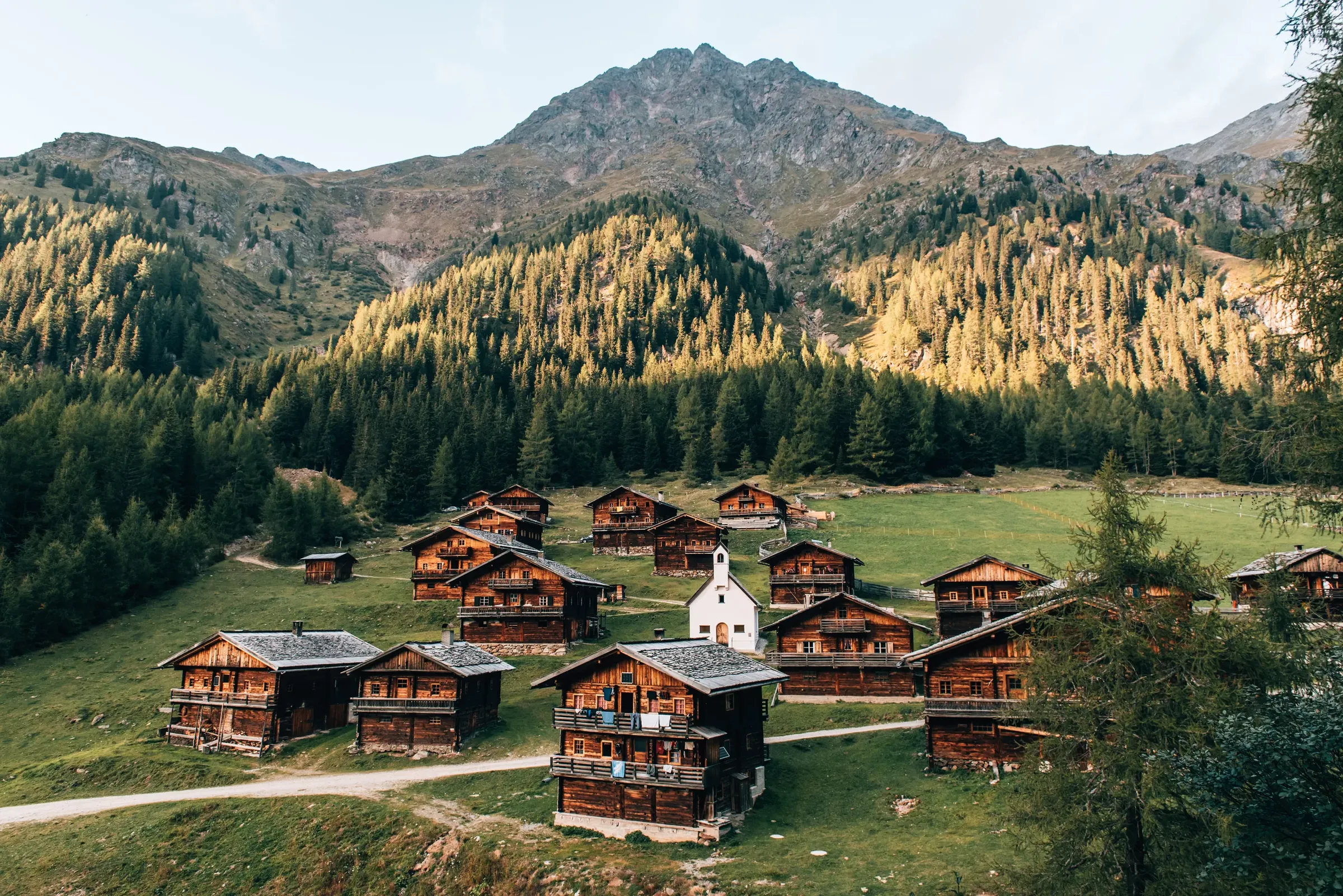
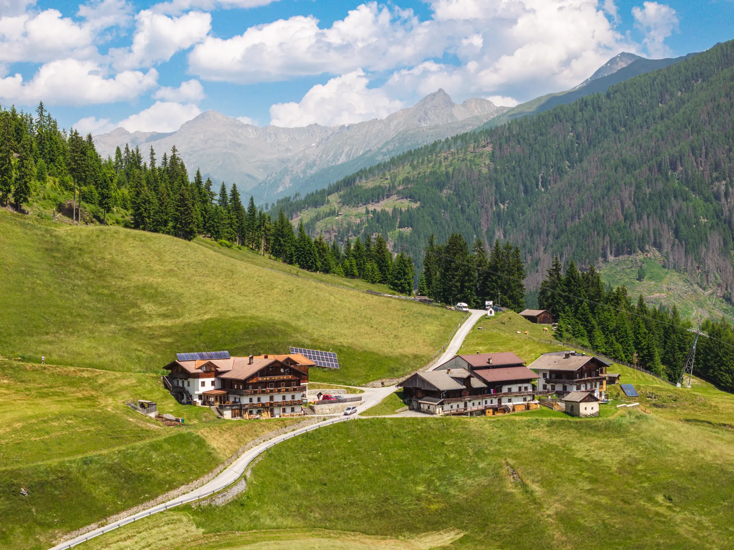
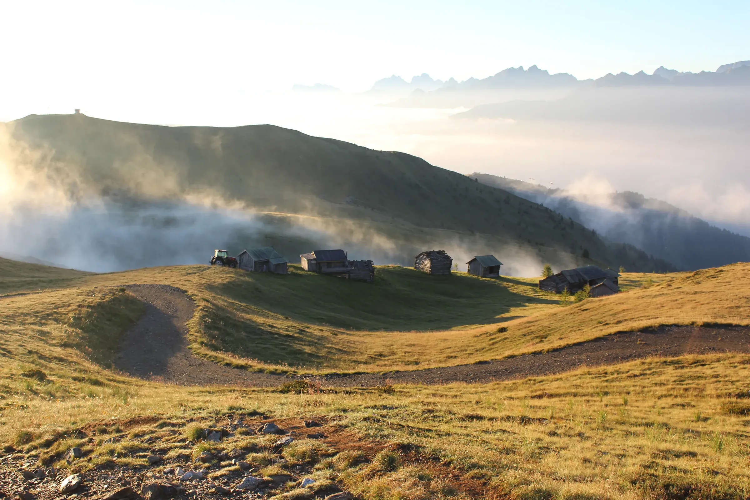
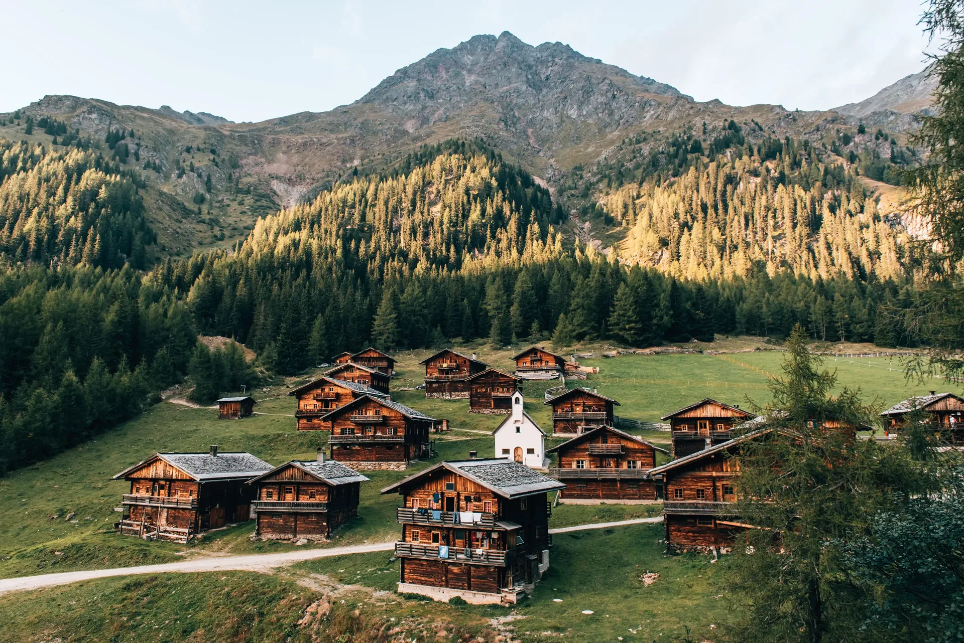
  • Alpine hamlet of dark wooden huts with a white chapel, larches and a mountain behind
    © TVB Osttirol / Romeo Felsenreich

    Villgratental

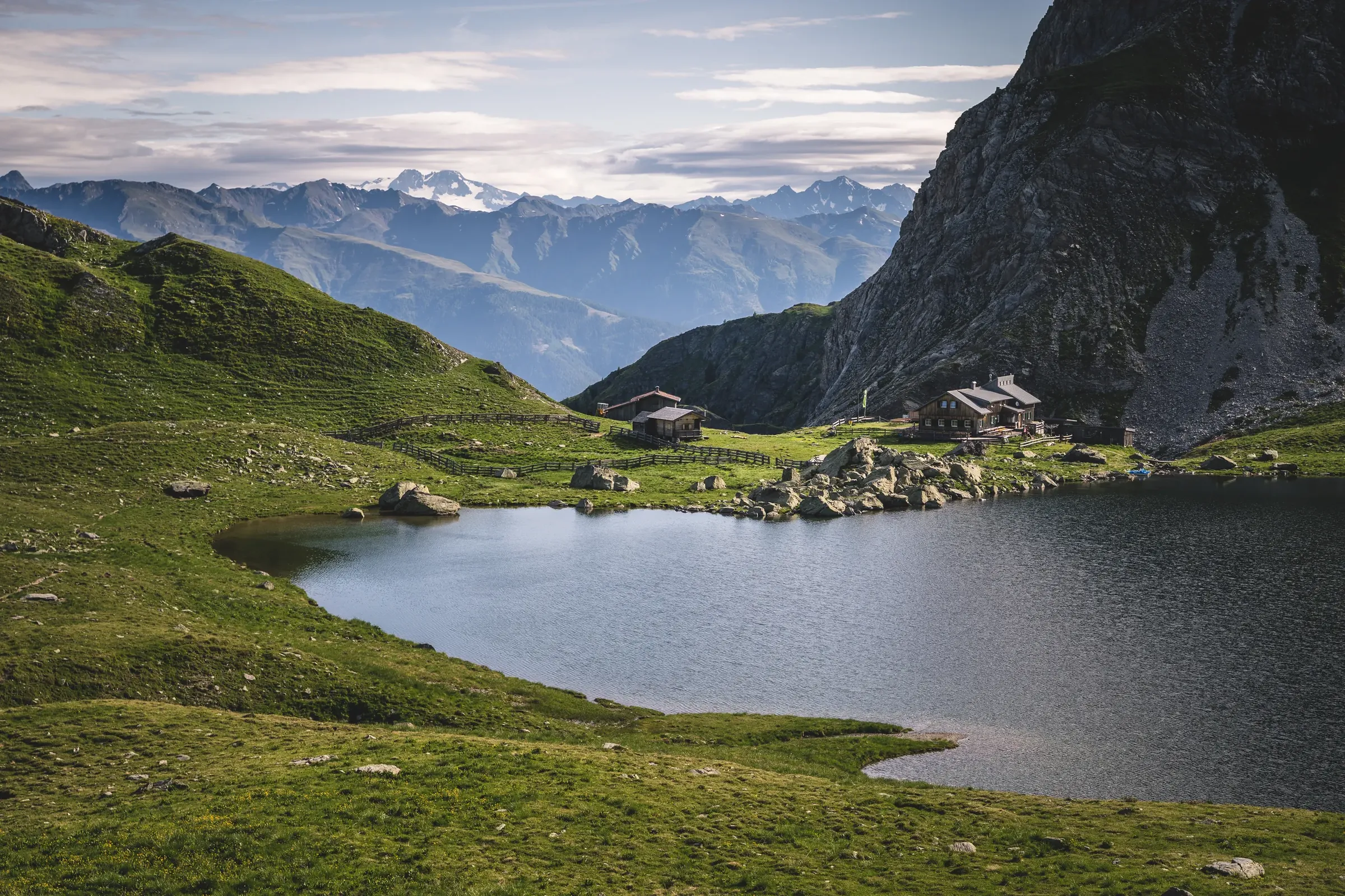
    At Heinfels, the Villgratental branches north with the villages of Außervillgraten and Innervillgraten. The valley has only been reachable year-round since 1958. Since 2008 it has belonged to the Alpine Clubs' "mountaineering villages" network, and in winter it is a well-known ski touring area.
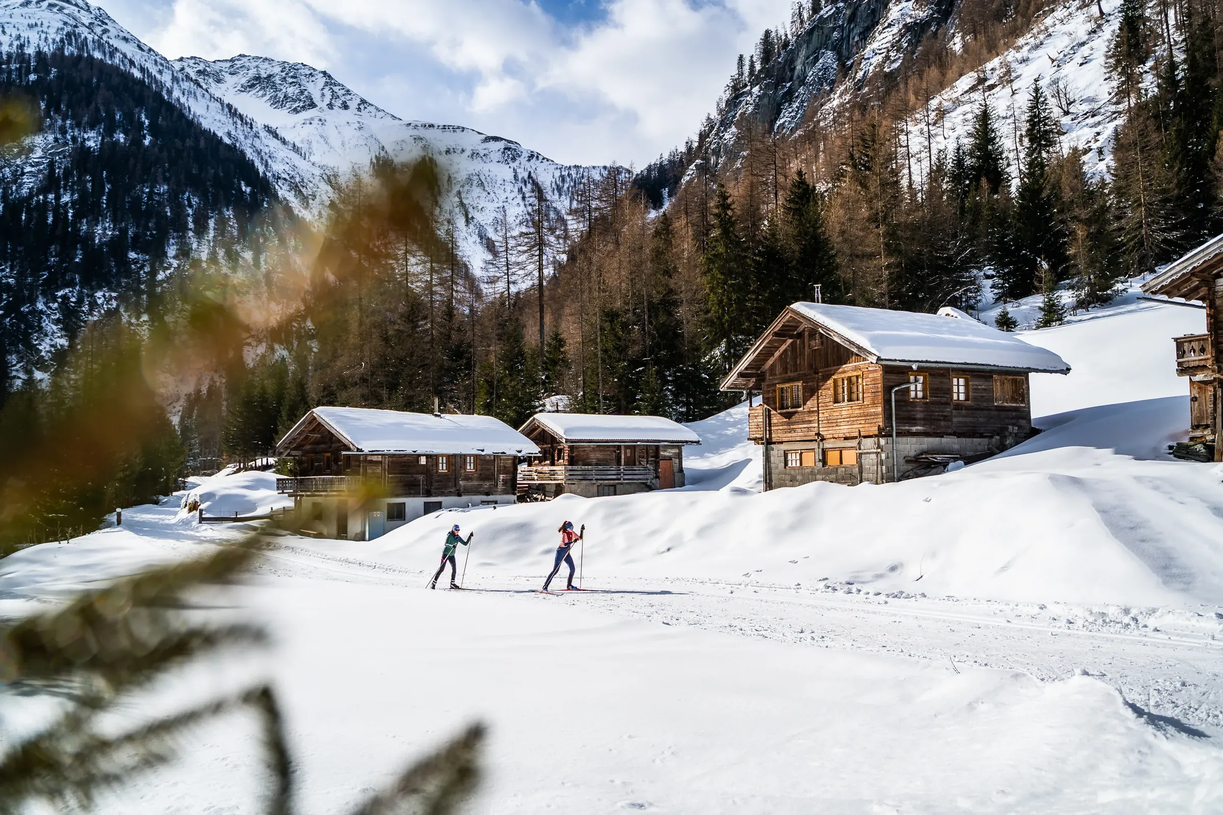
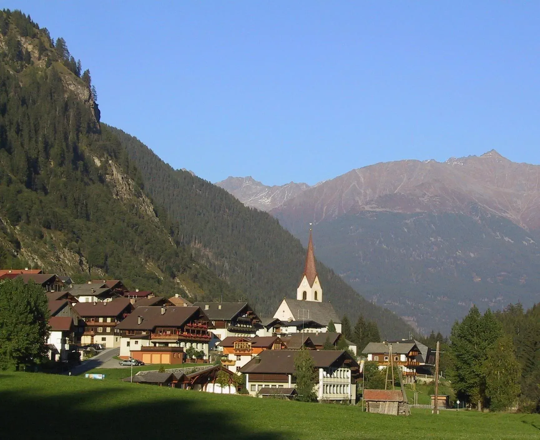
  • View across Obertilliach and the surrounding mountains
    © TVB Osttirol / Peter Maier

    Gailtal/Lesachtal

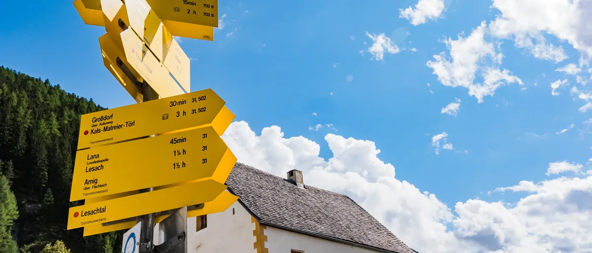
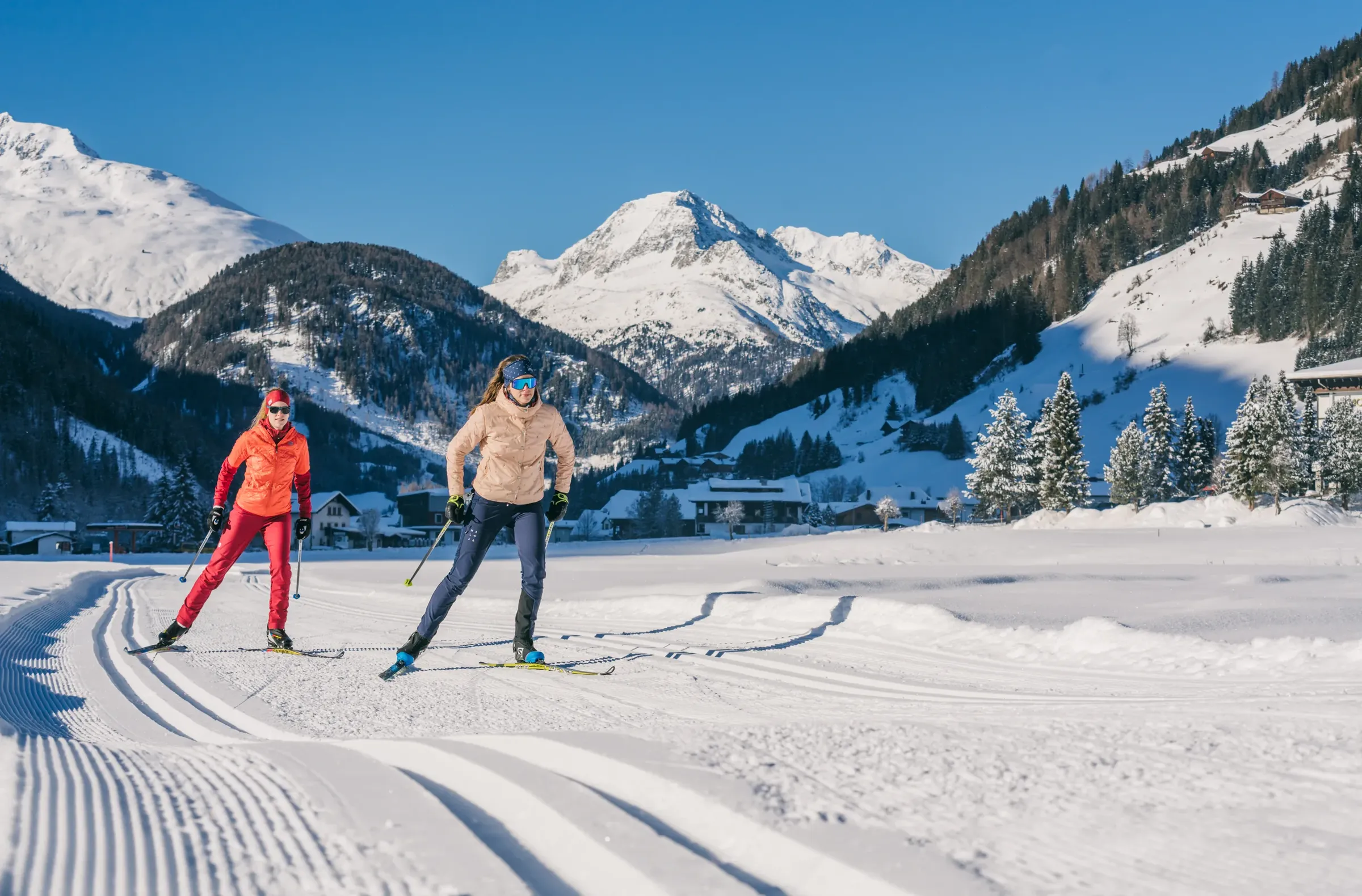
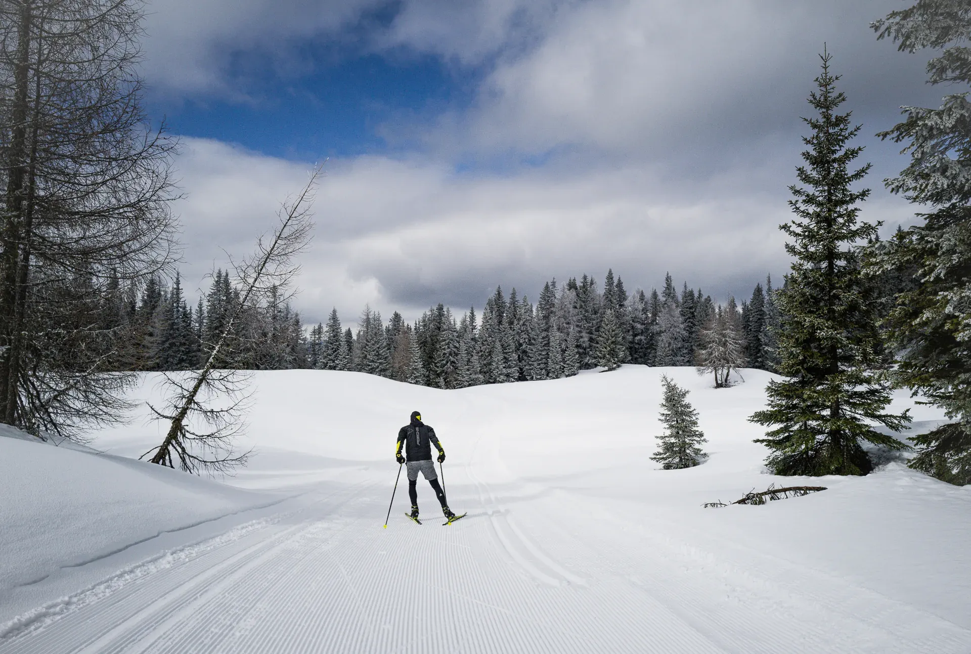
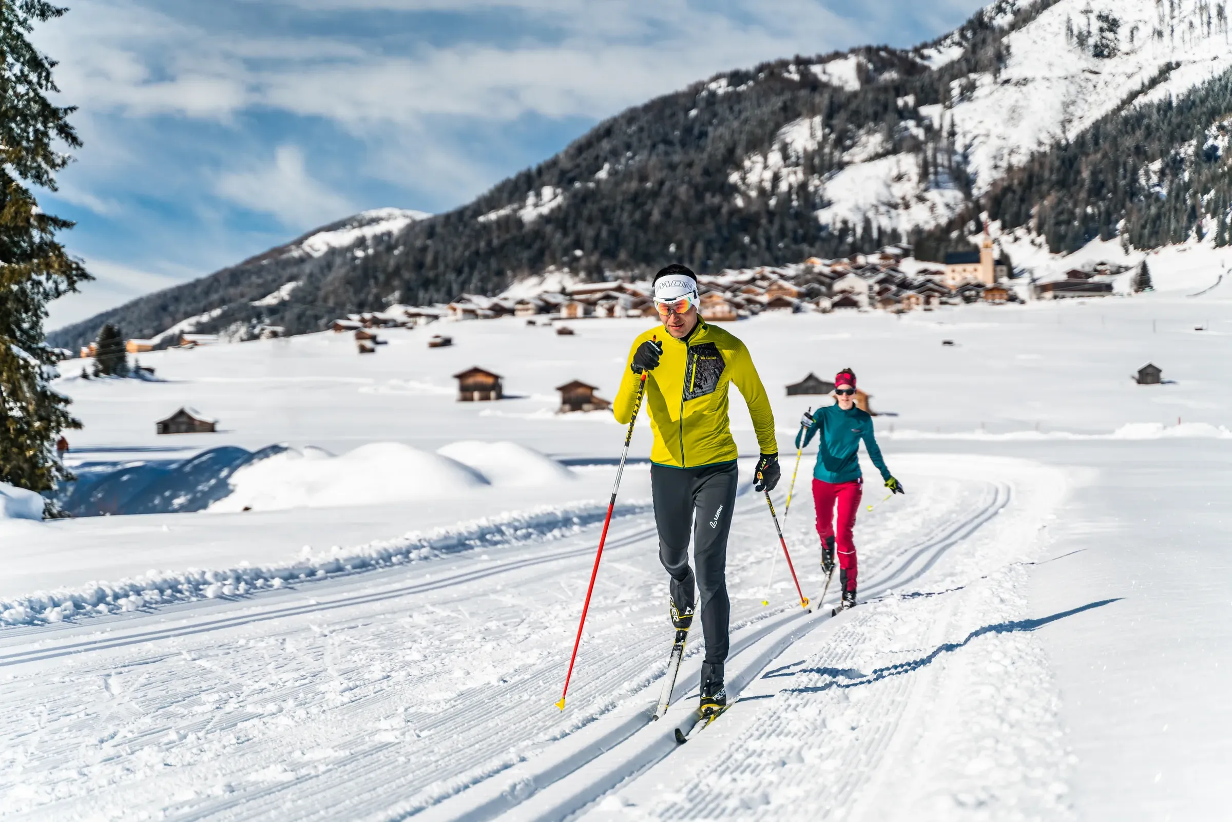
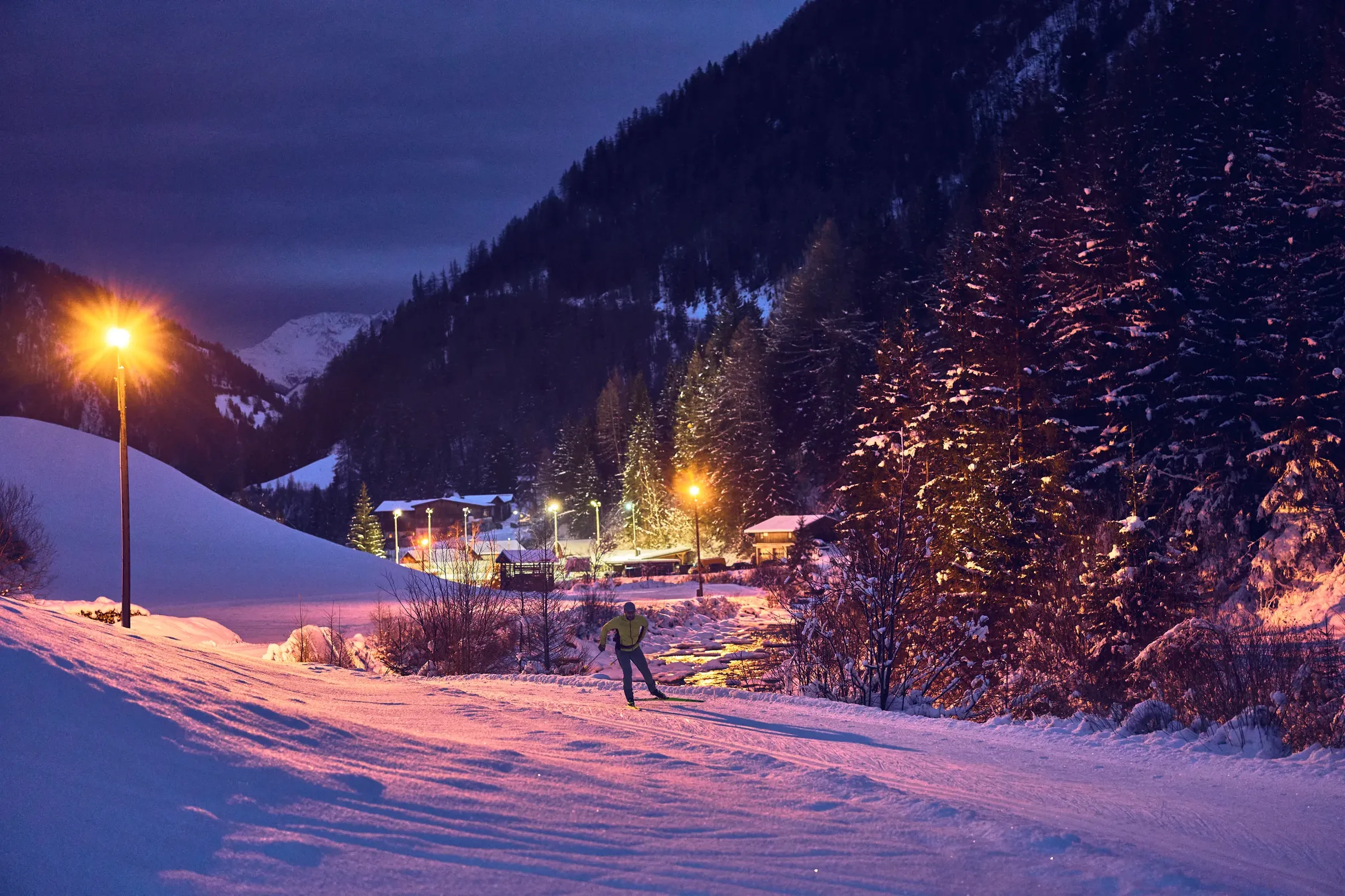
    South of the Puster Valley, Kartitsch, Obertilliach and Untertilliach lie in the upper Gail valley between the Lienz Dolomites and the Carnic Alps. Its villages belong to the mountaineering villages network too. Obertilliach, at around 1,450 metres, is known for cross-country skiing and biathlon, and in summer the Carnic High Trail passes close by.
    You will find every municipality on the Osttirol map (in German) and places to stay in the valleys under accommodation (in German).

More about Osttirol

Find accommodation

Explore hotels, holiday apartments and huts in our German-language accommodation overview.