One park, three states
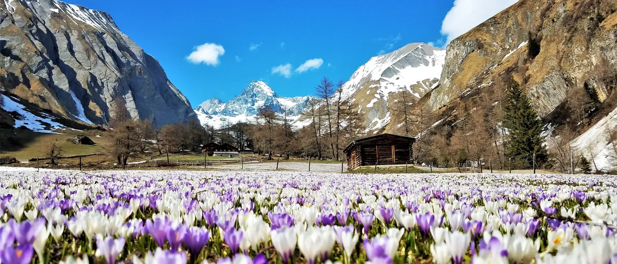
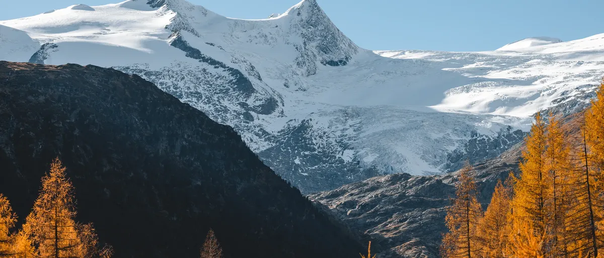
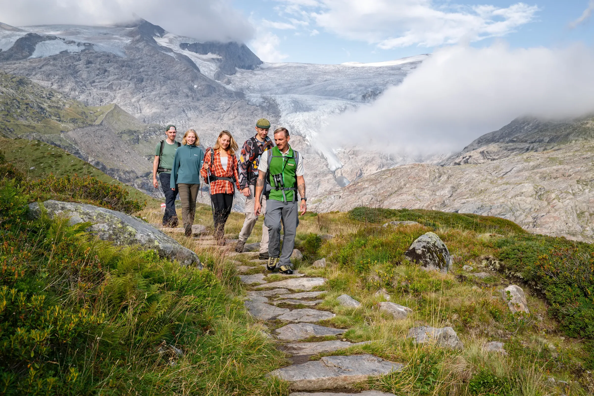
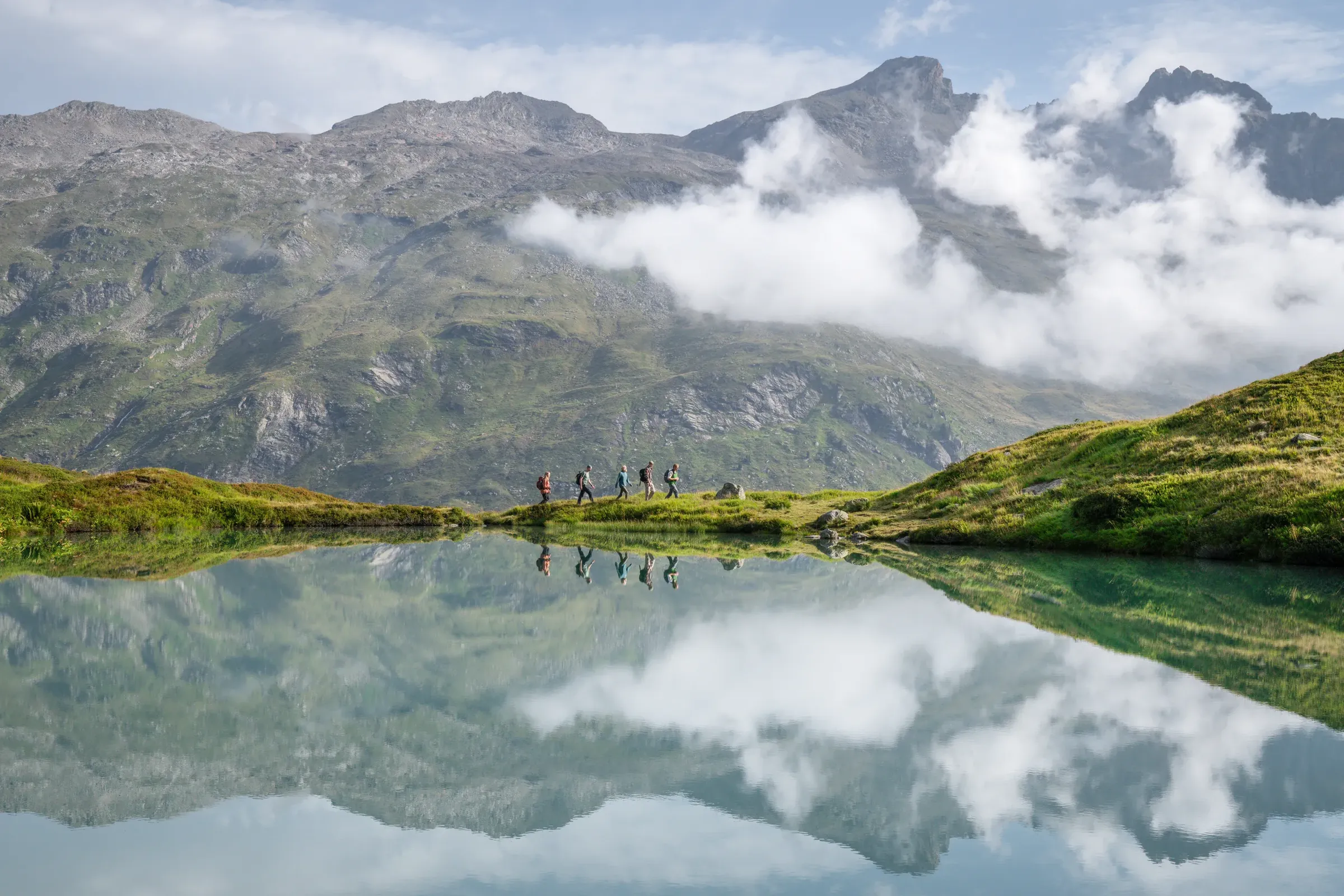
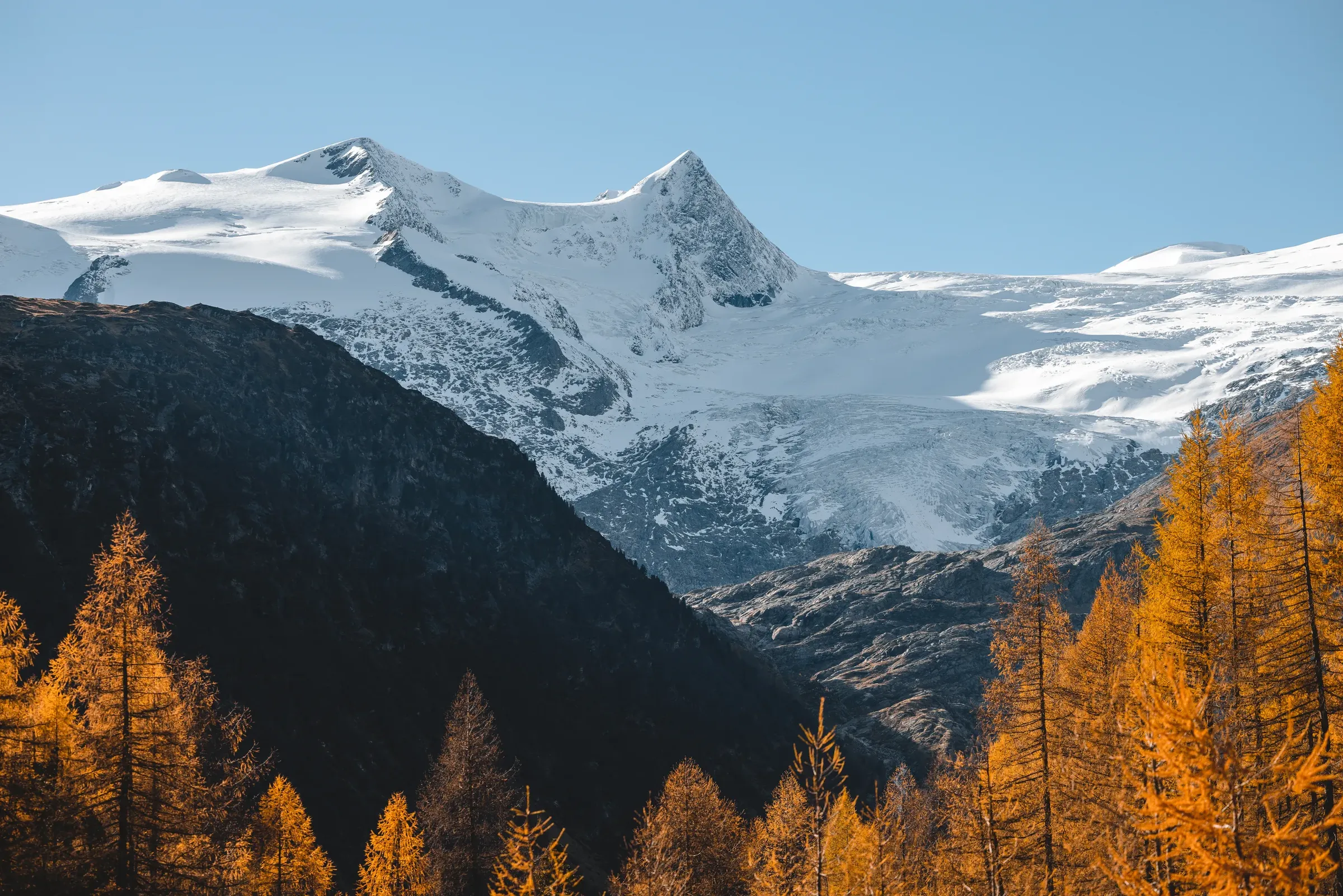
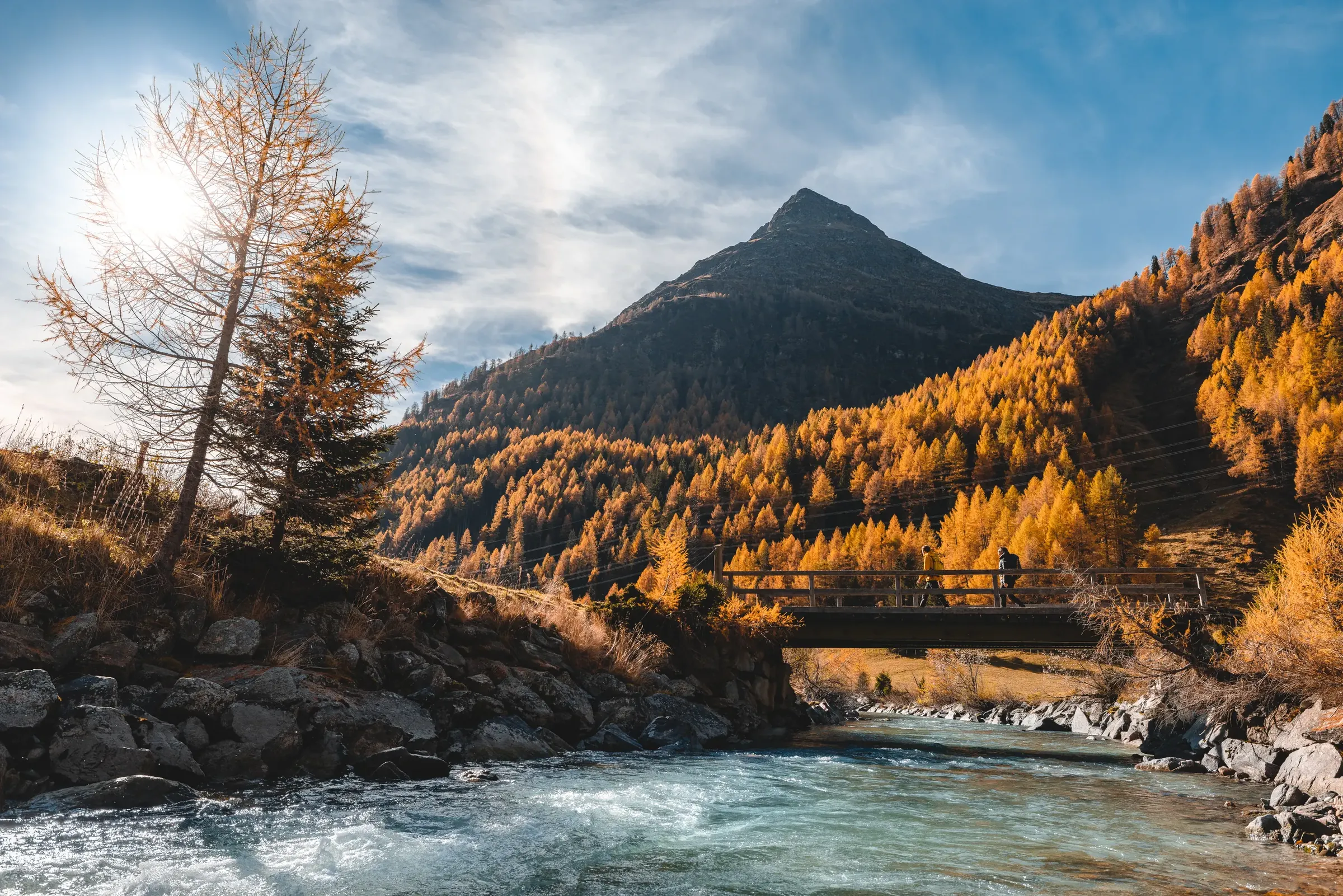
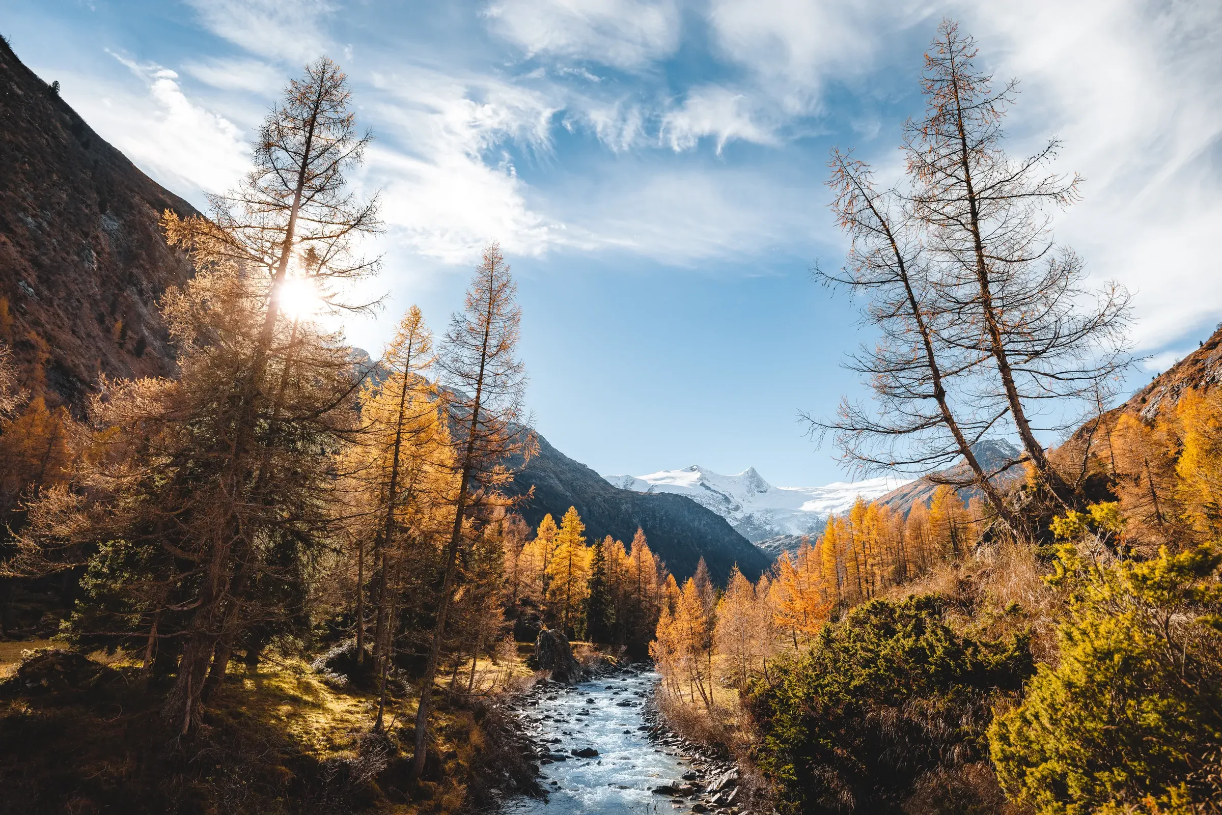
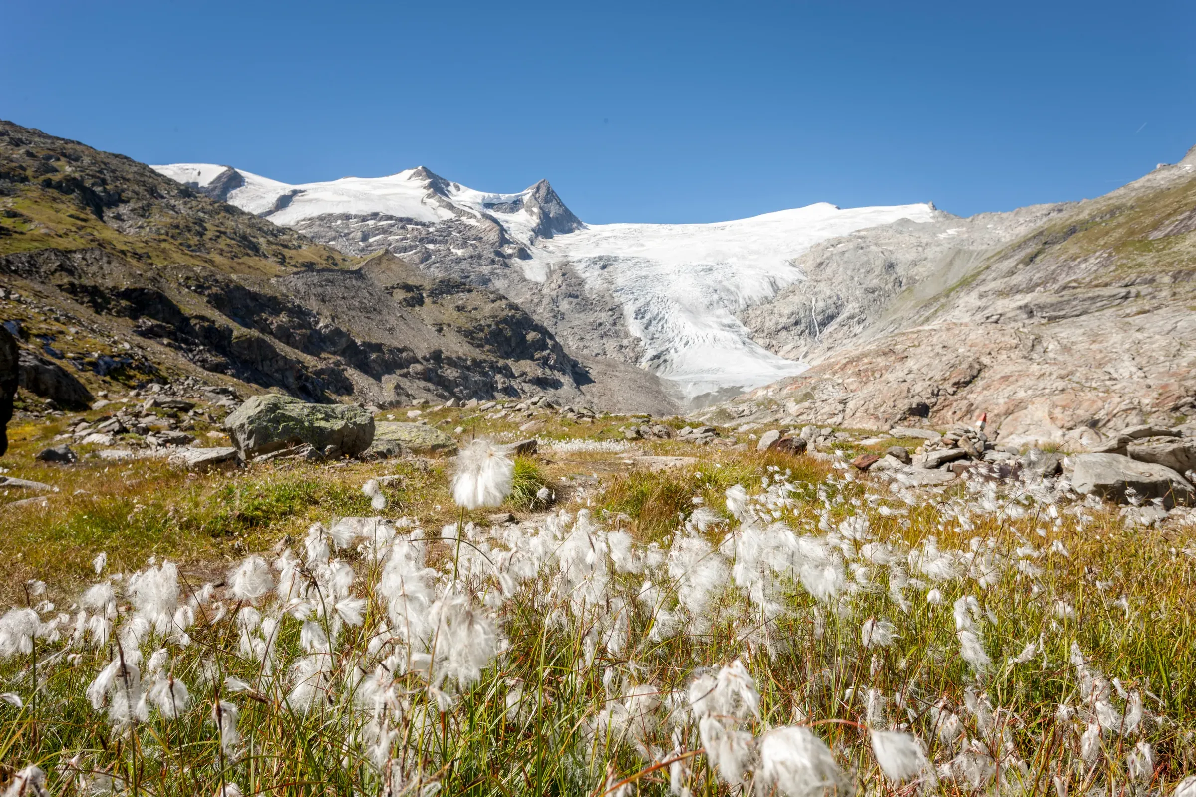
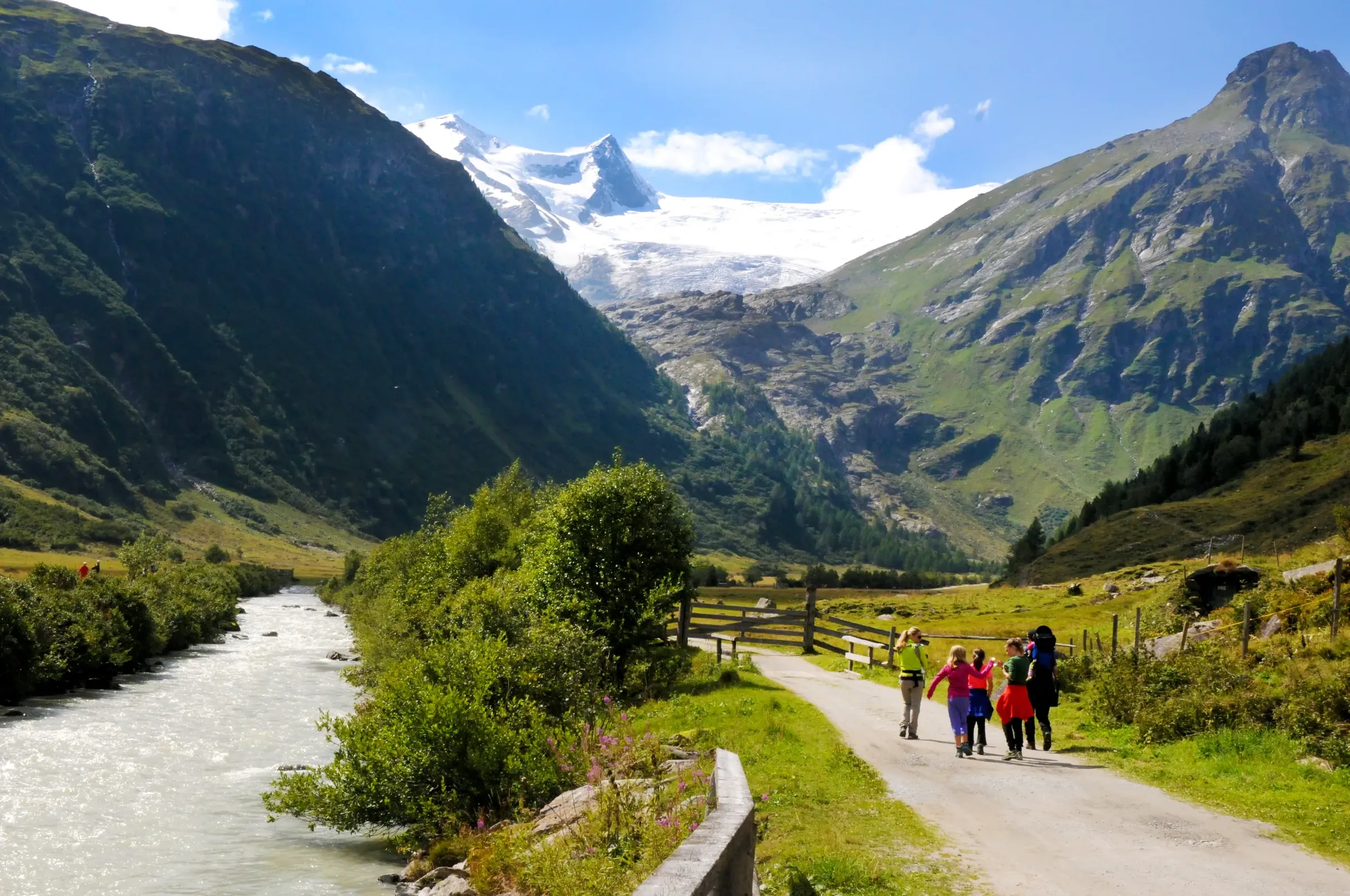
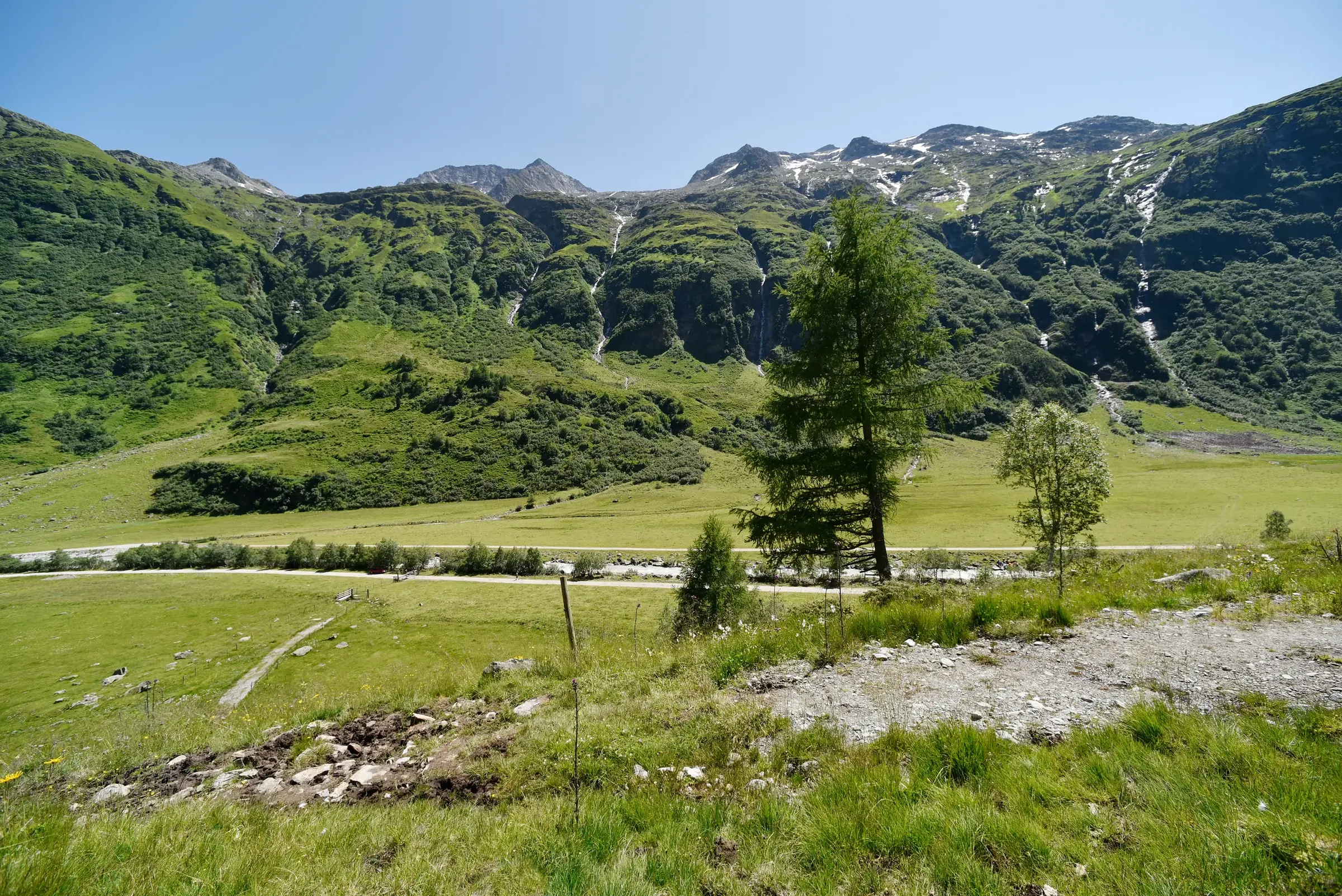
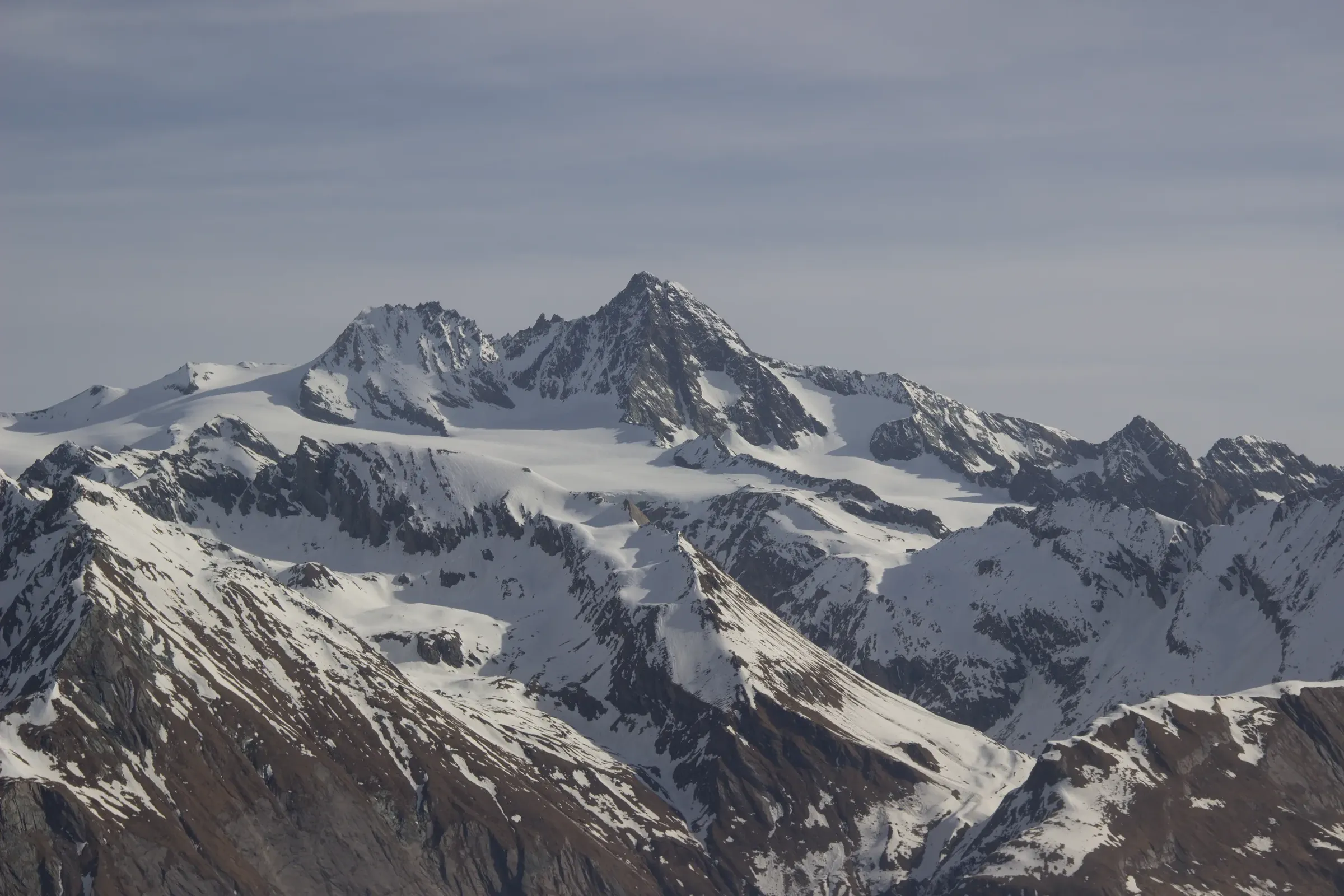
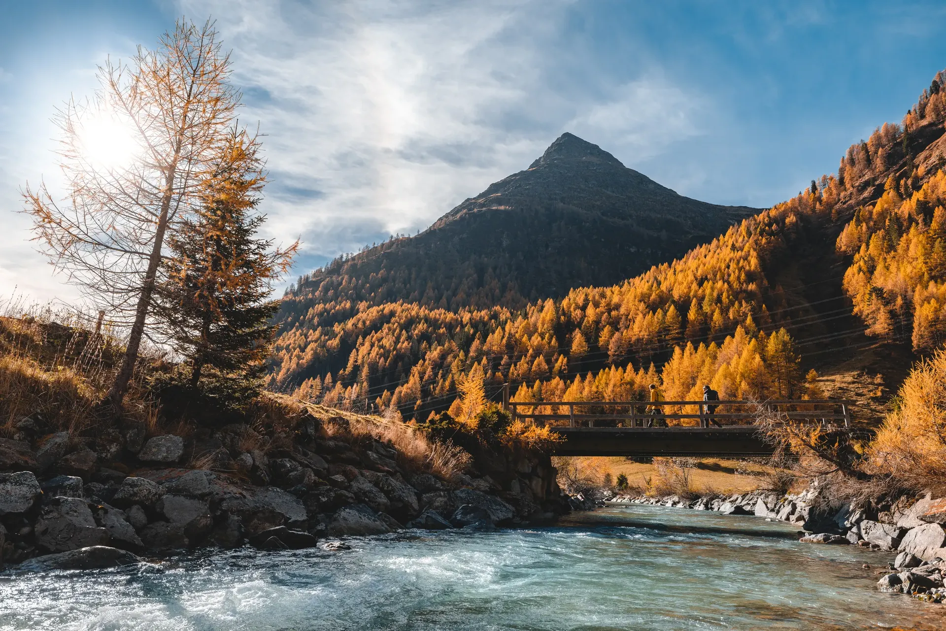
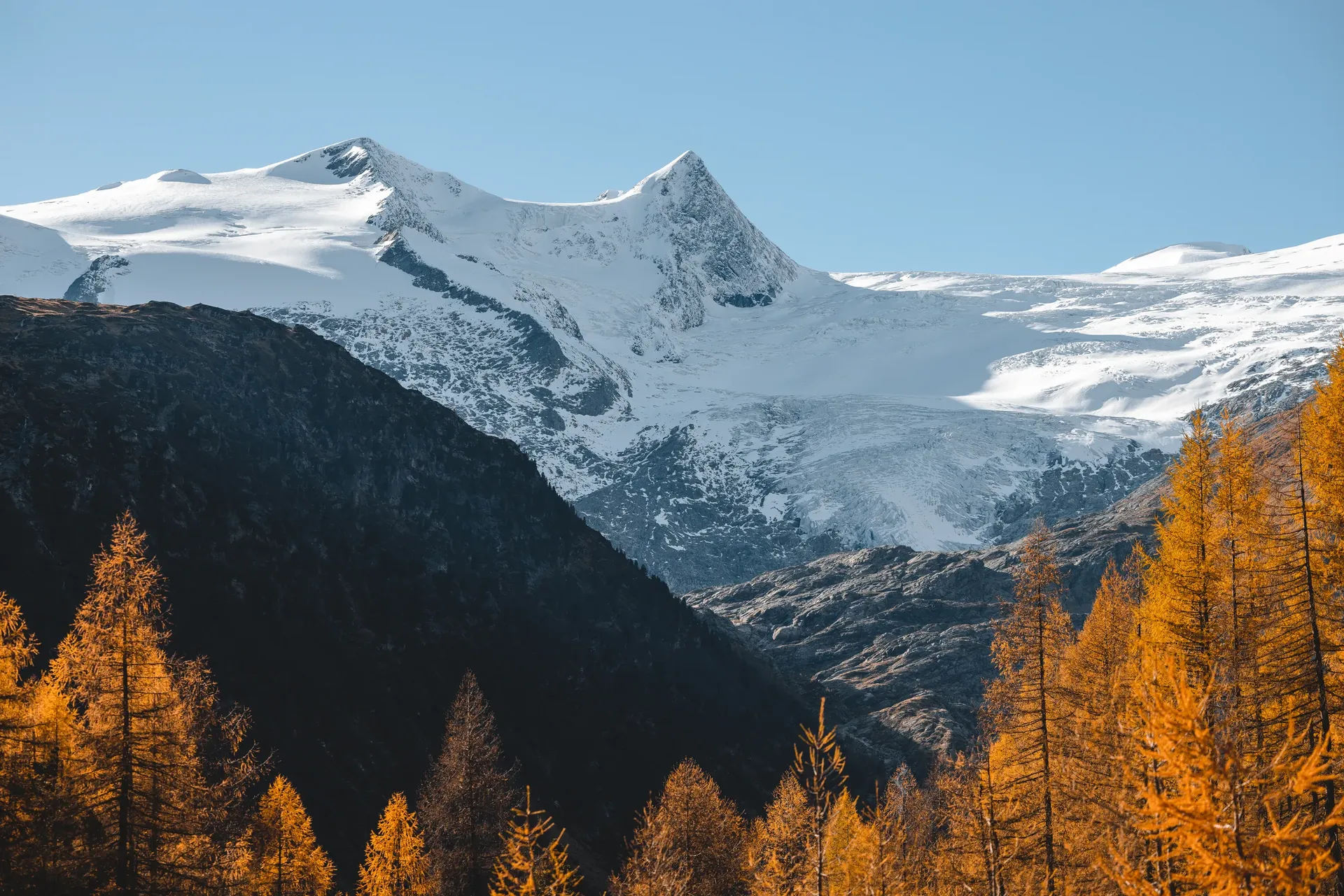
Hohe Tauern National Park spans the Austrian states of Carinthia, Salzburg and Tyrol and covers around 1,856 square kilometres, making it Austria's largest national park and one of the biggest protected areas in Central Europe. The Tyrolean part, just over 610 square kilometres, lies entirely in Osttirol; Tyrol passed its national park law in 1991. Ten Osttirol municipalities have a share in it, including Matrei, Kals am Großglockner, Prägraten am Großvenediger, Virgen and the three municipalities of the Defereggental. Across the whole park, more than 300 peaks exceed 3,000 metres and more than 330 glaciers cover the high ground.
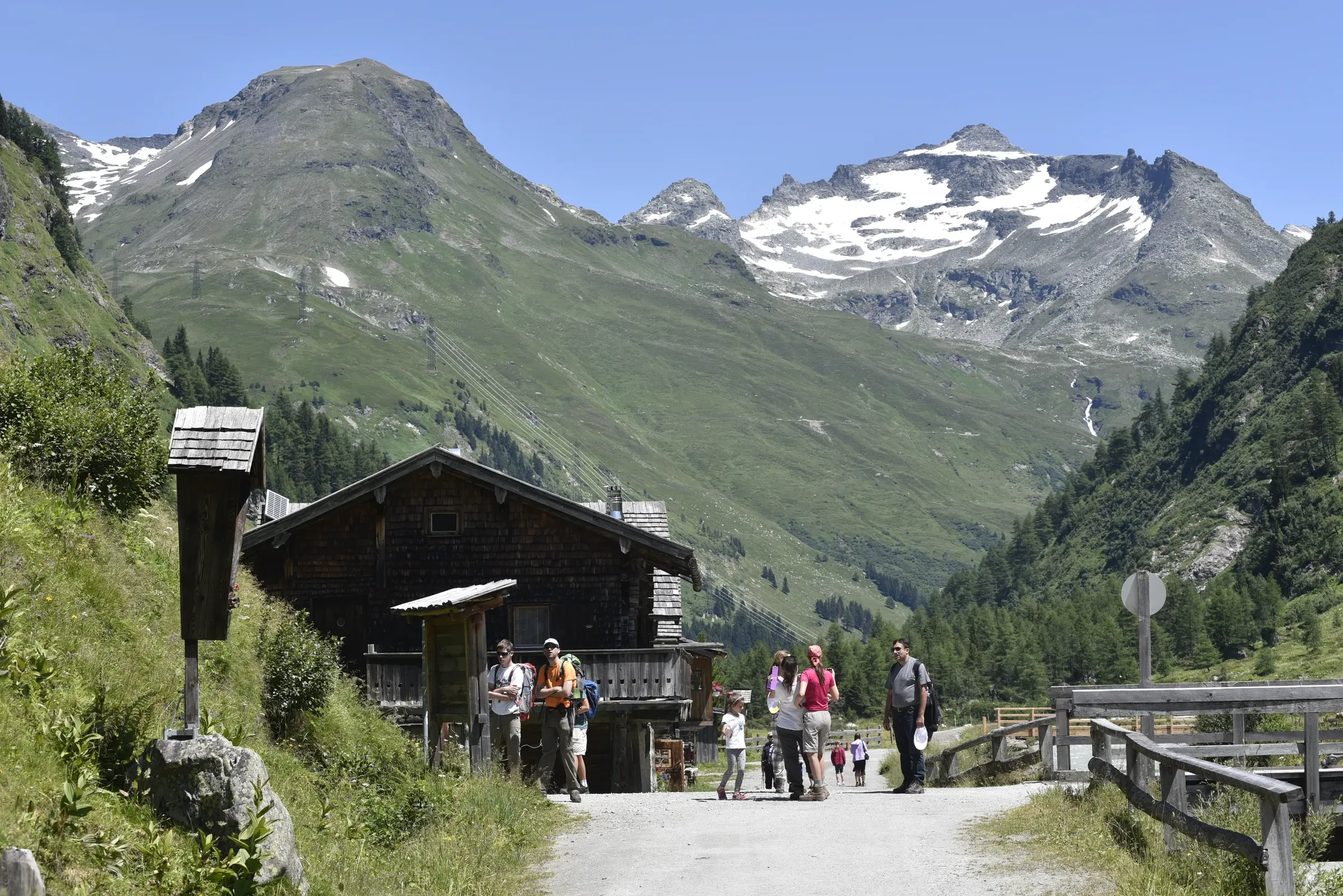
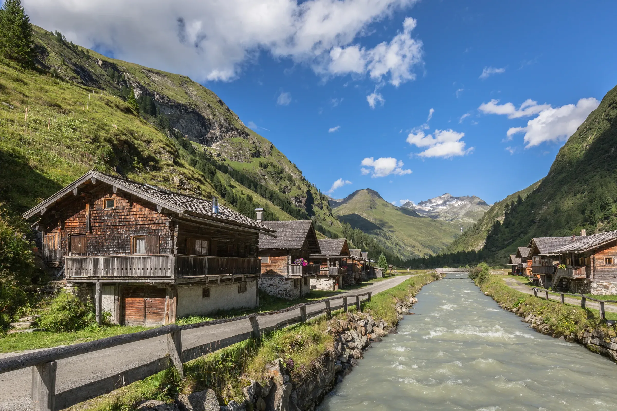
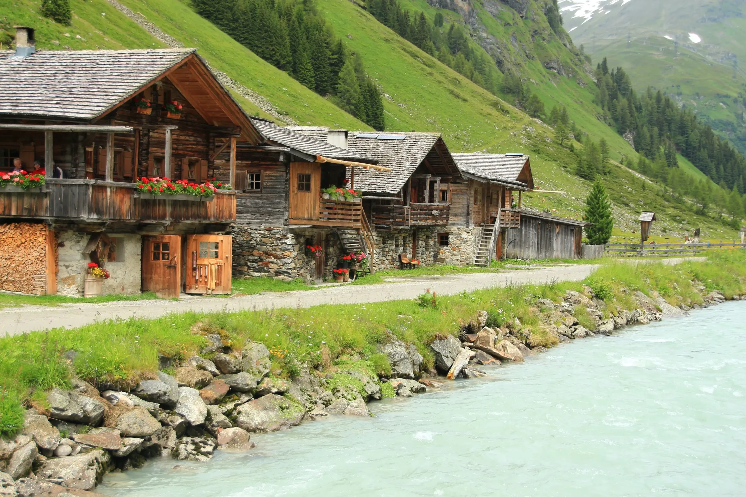
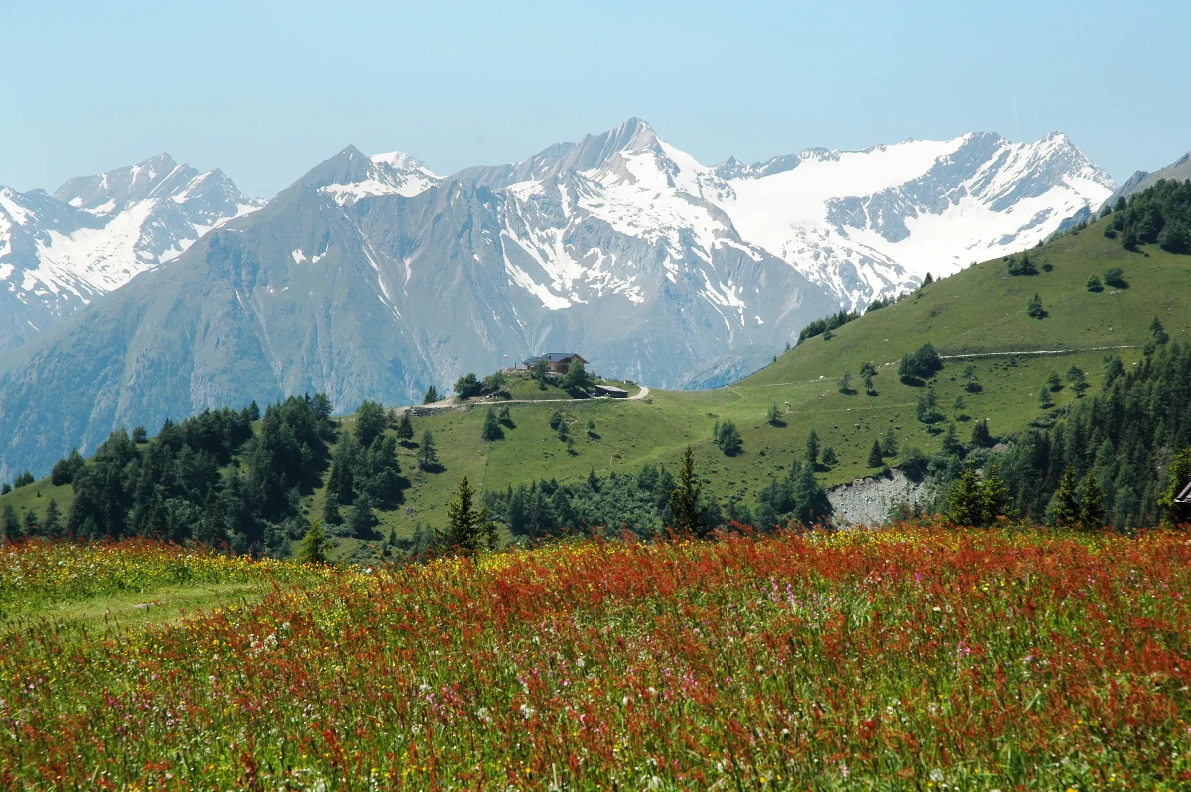
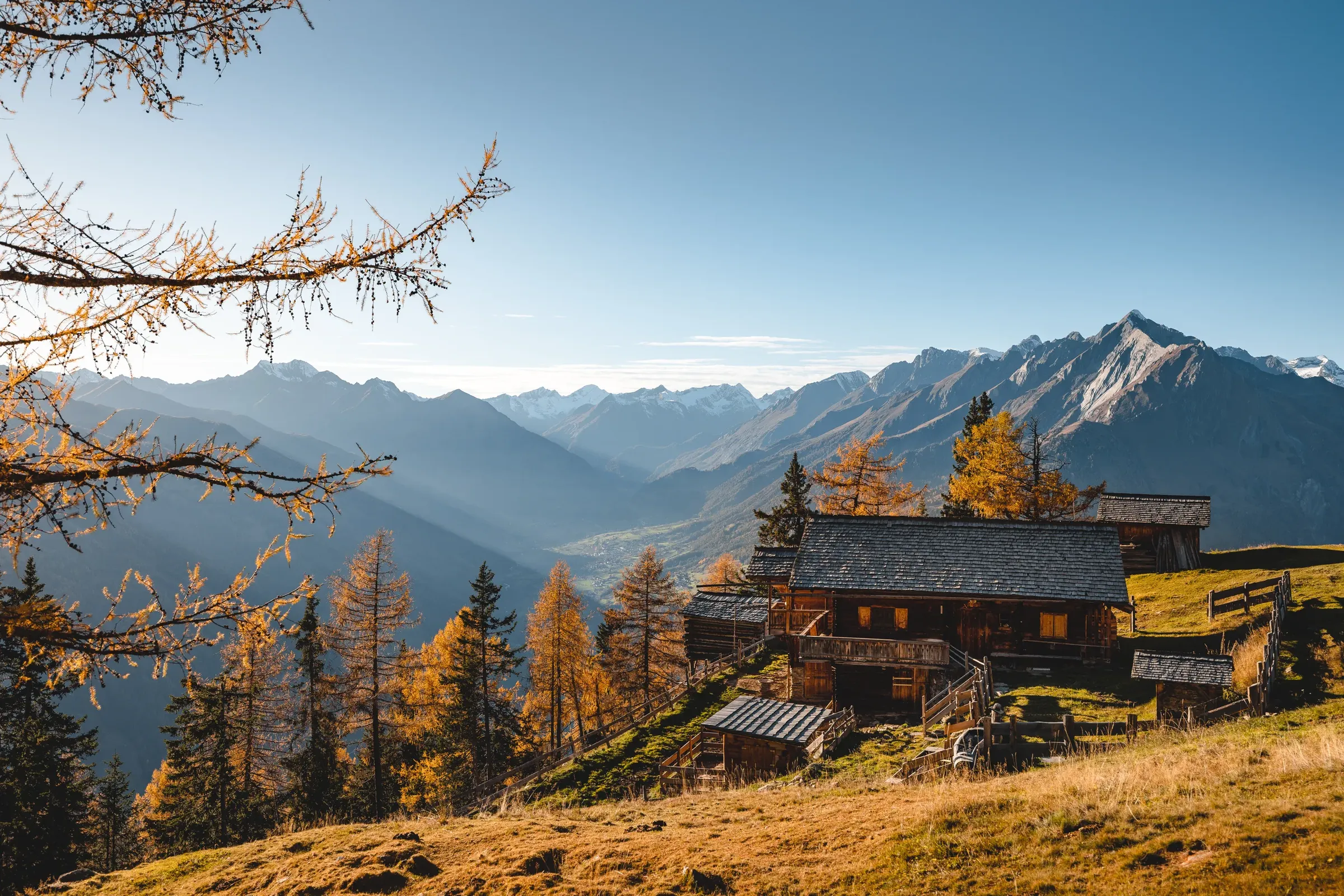
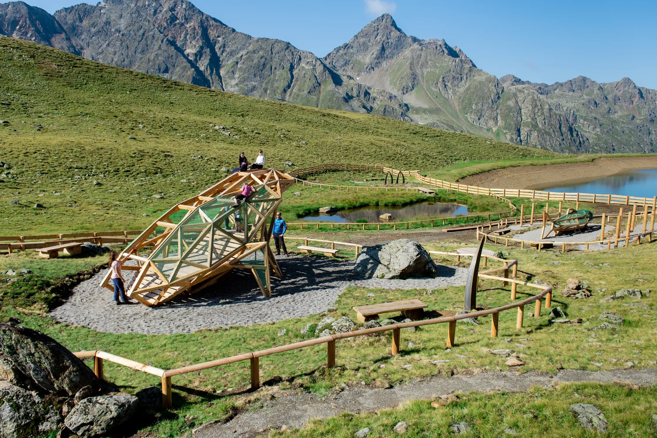
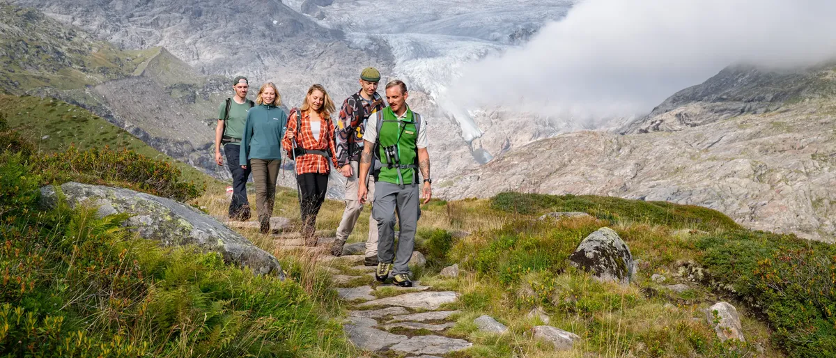
The park has a core zone, where nature is left largely to itself, and an outer zone where alpine pastures and mountain meadows are still farmed. That centuries-old farming landscape is deliberately part of what the park protects.