Discover Osttirol

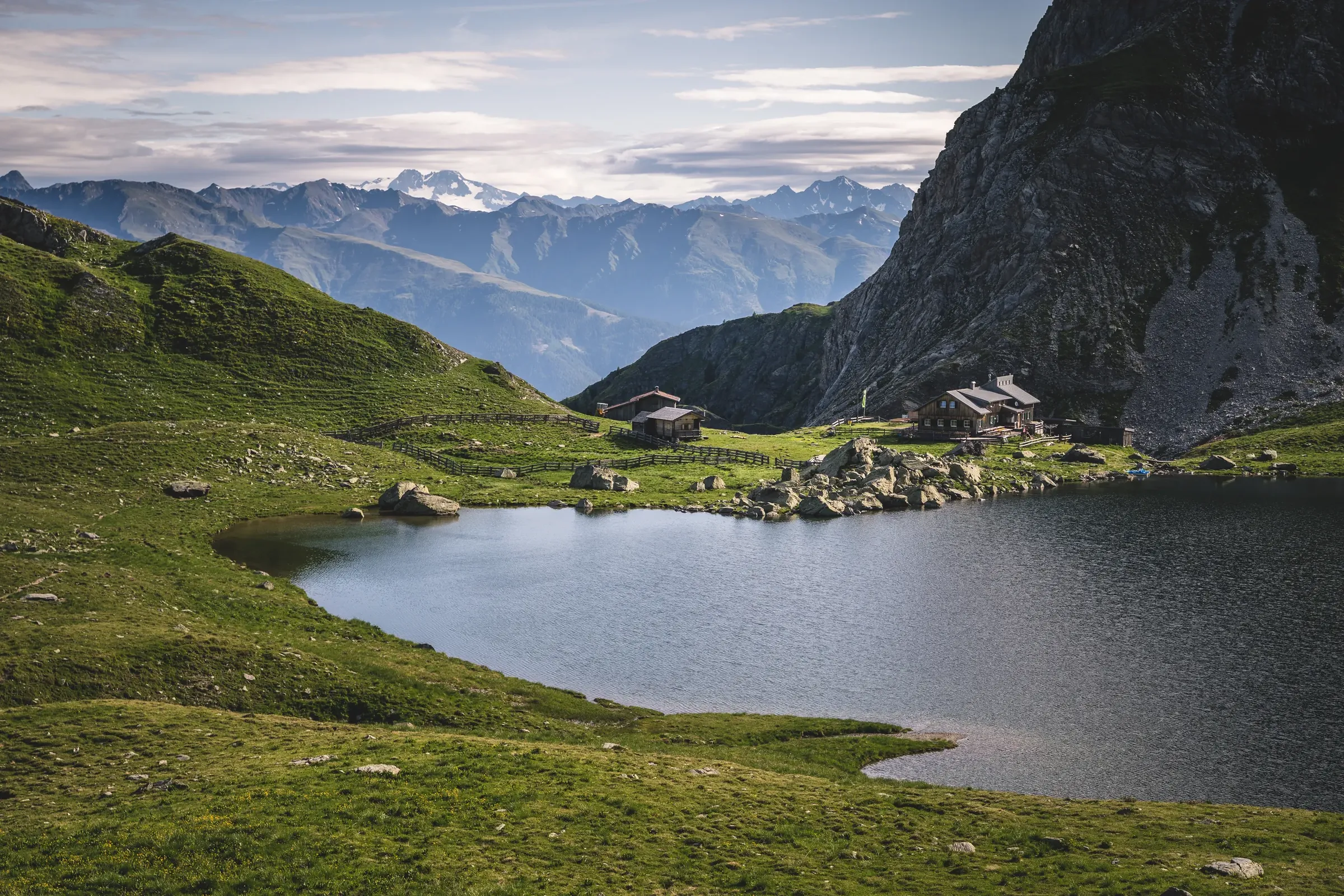
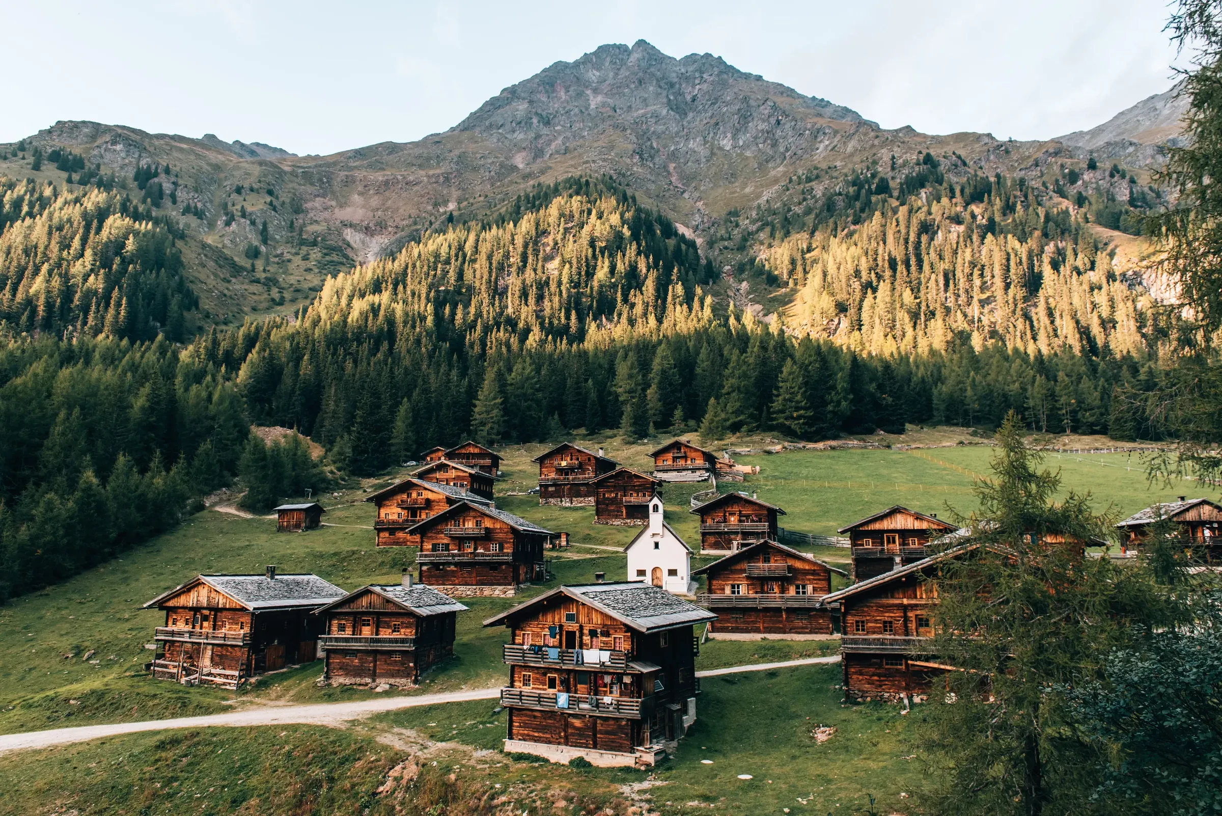
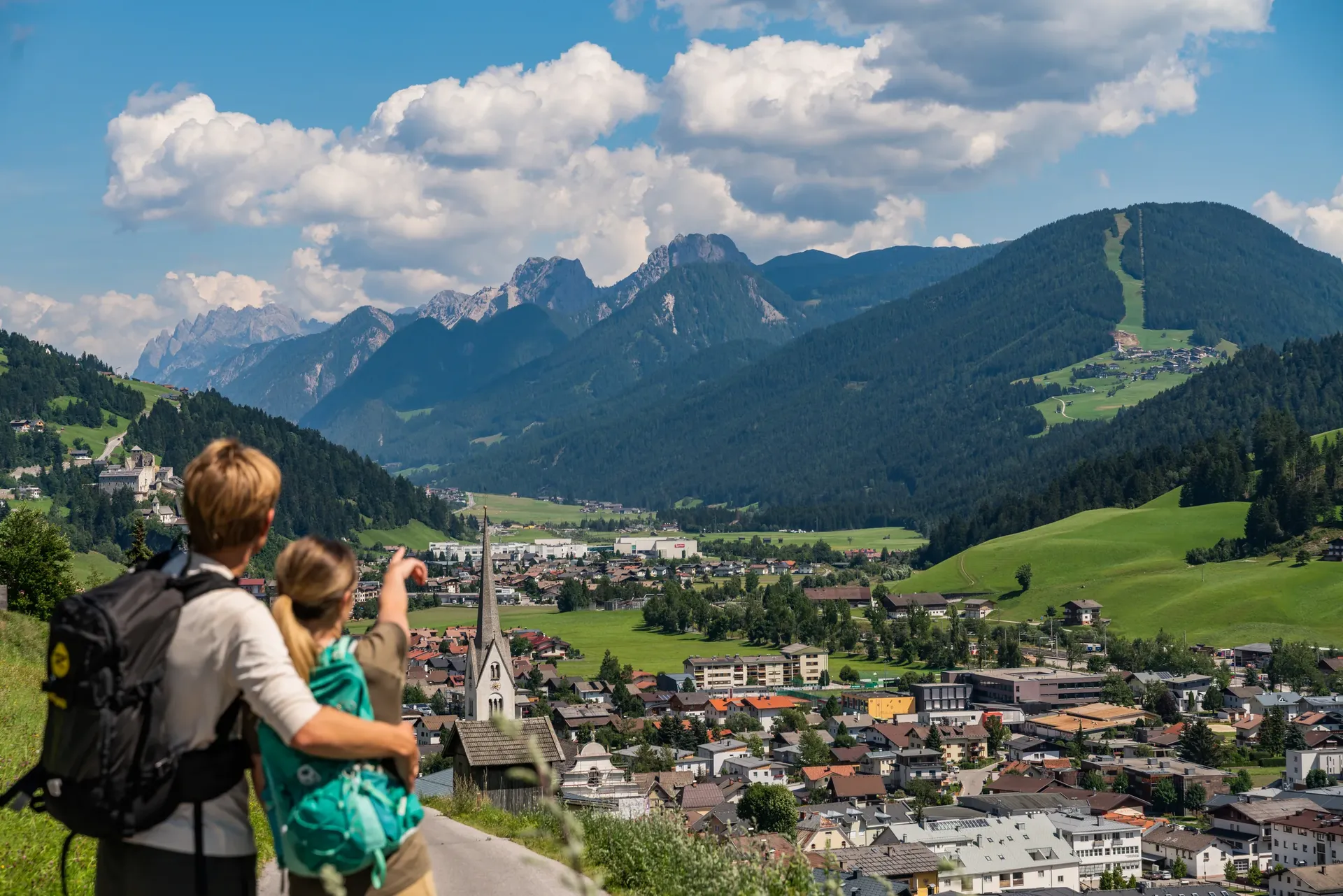
Between the Großglockner and the Lienz Dolomites lies a mountain district of 33 municipalities, quiet valleys and plenty of room to breathe. Here is an overview.

Image credit: © TVB Osttirol / Peter Maier

Area
2,020.1 km²

Lienz district; Statistik Austria, as at 1 January 2026.

Residents
48,937

Lienz district; Statistik Austria, as at 1 January 2026.

Municipalities
33

Lienz district; Statistik Austria, as at 1 January 2026.

Peaks above 3,000 m
266

Source: Osttirol tourist board.

At a glance

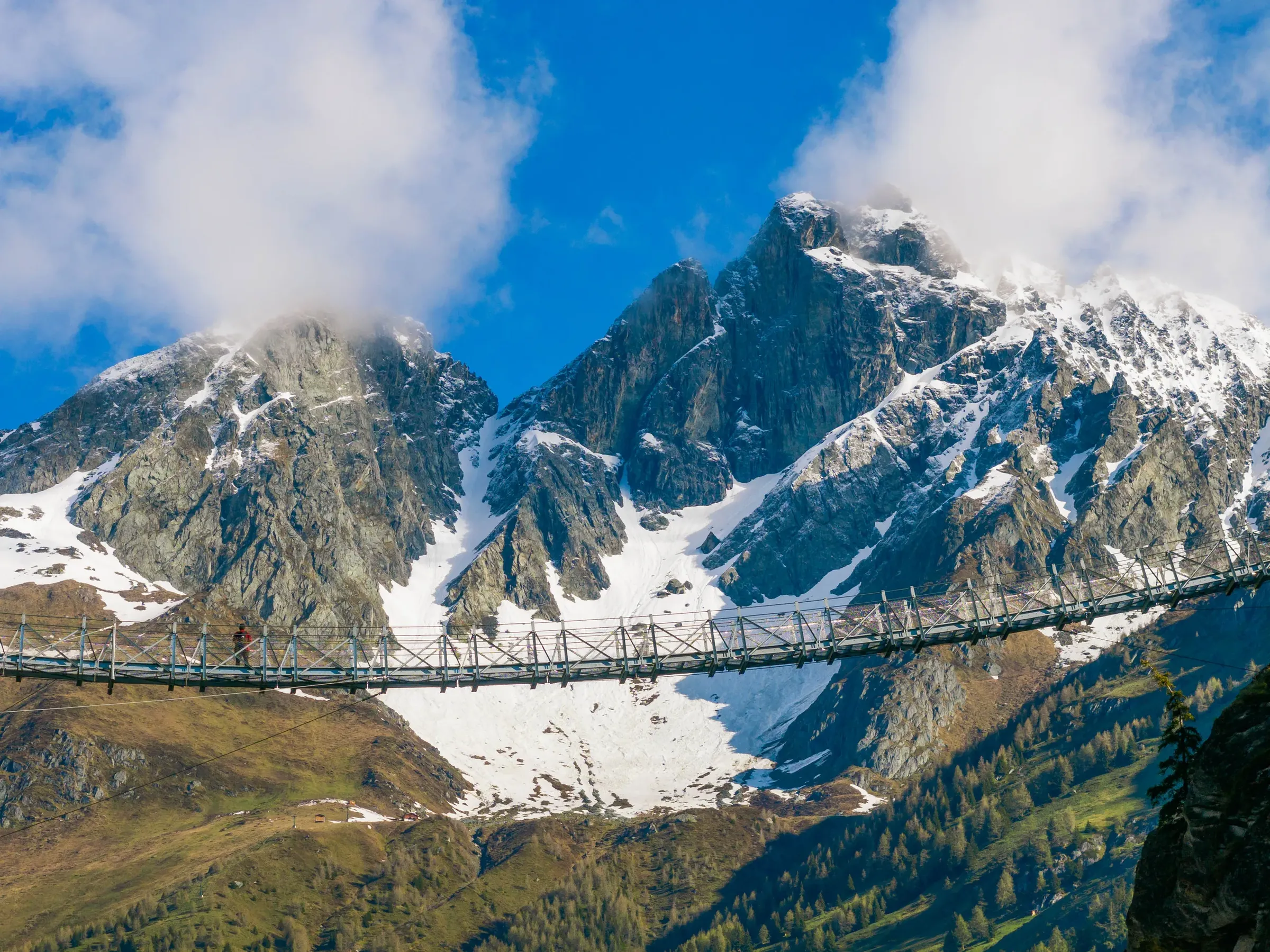
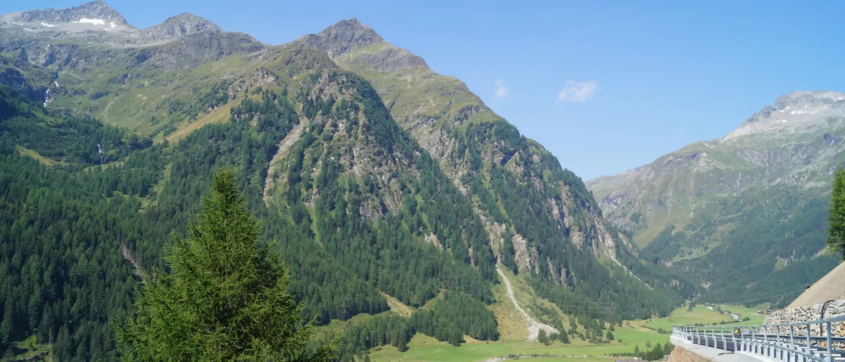
  • The Felbertauern road crosses a bridge into the green Tauerntal, mountains all around
    © TVB Osttirol / Robert Süßenbacher

    A part of Tyrol set apart

    Osttirol is the district of Lienz, the south-eastern corner of the Austrian state of Tyrol. It covers a little over 2,000 square kilometres, making it the largest district in Tyrol, yet just under 49,000 people live here. Oddly enough, it does not share a border with the rest of Tyrol: a narrow strip of Salzburg and South Tyrol separates it from Innsbruck and the Inn valley. Coming from Innsbruck, you therefore drive either through the Felbertauern Tunnel or through the Puster Valley. Its neighbours are Salzburg to the north, Carinthia to the east, and Italy's South Tyrol and Belluno provinces to the south and west.
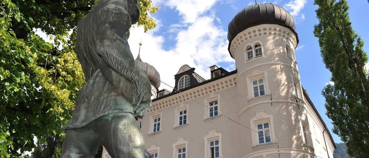
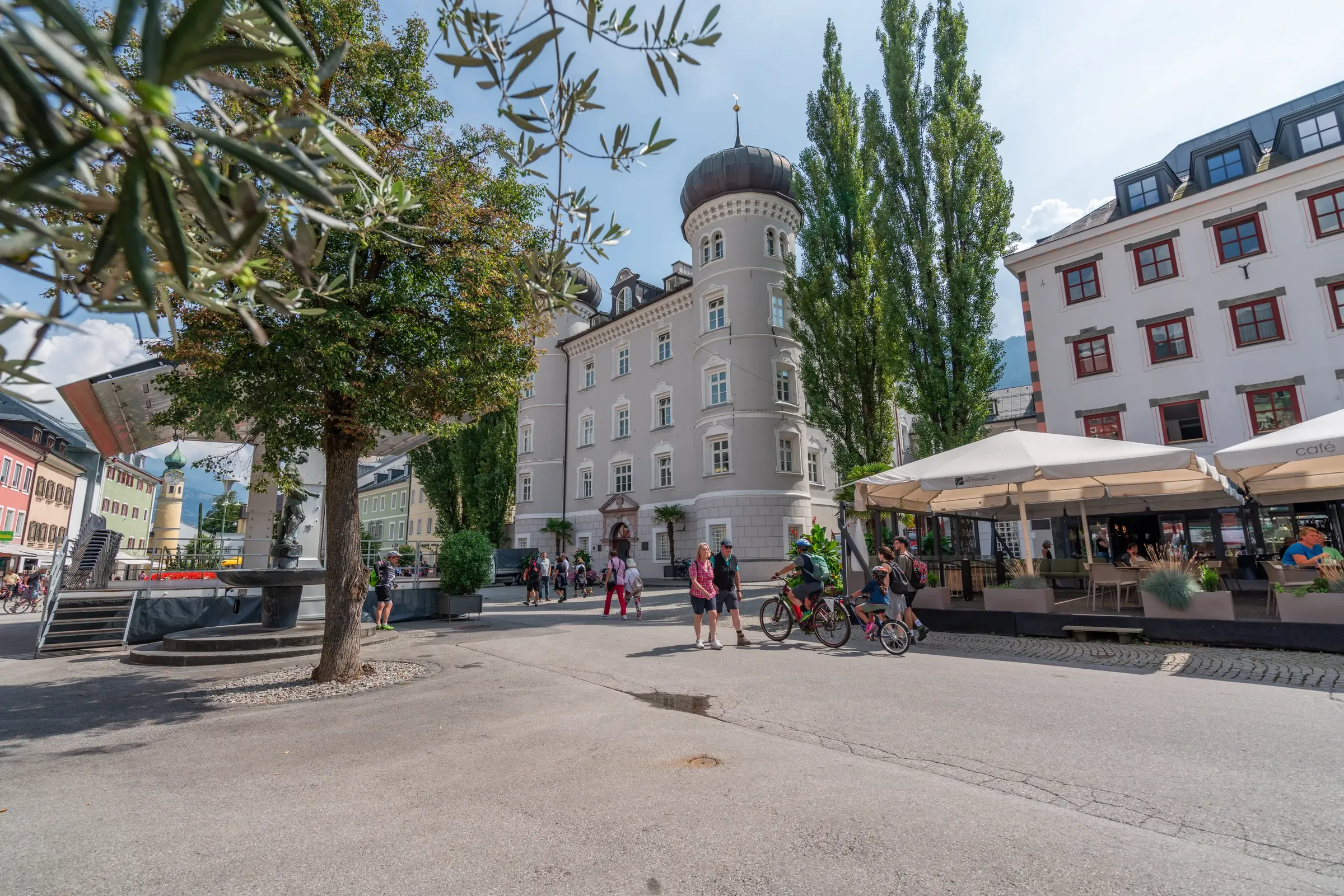
  • The Liebburg with its onion-domed towers, a bronze sculpture in front
    © Tirol Werbung / Bernhard Aichner

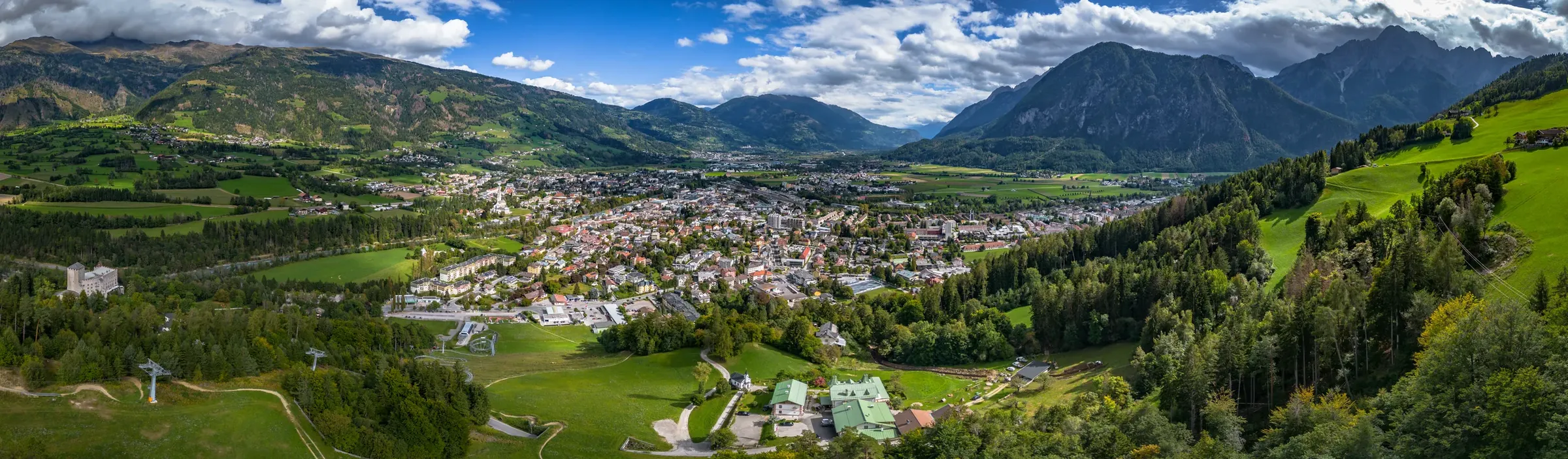
    33 municipalities, one town

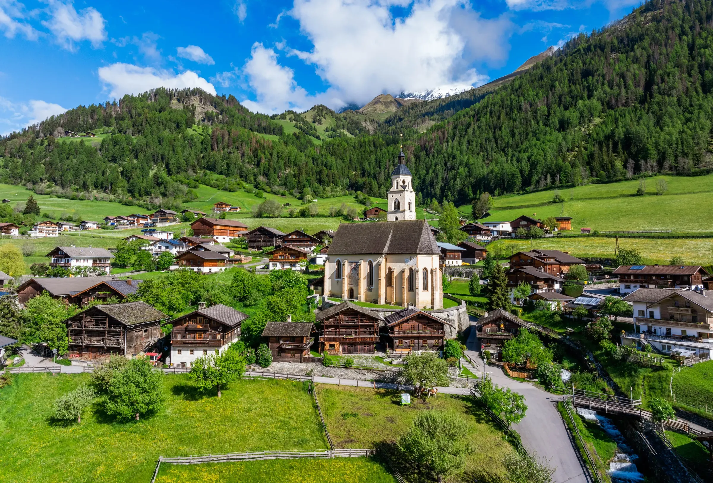
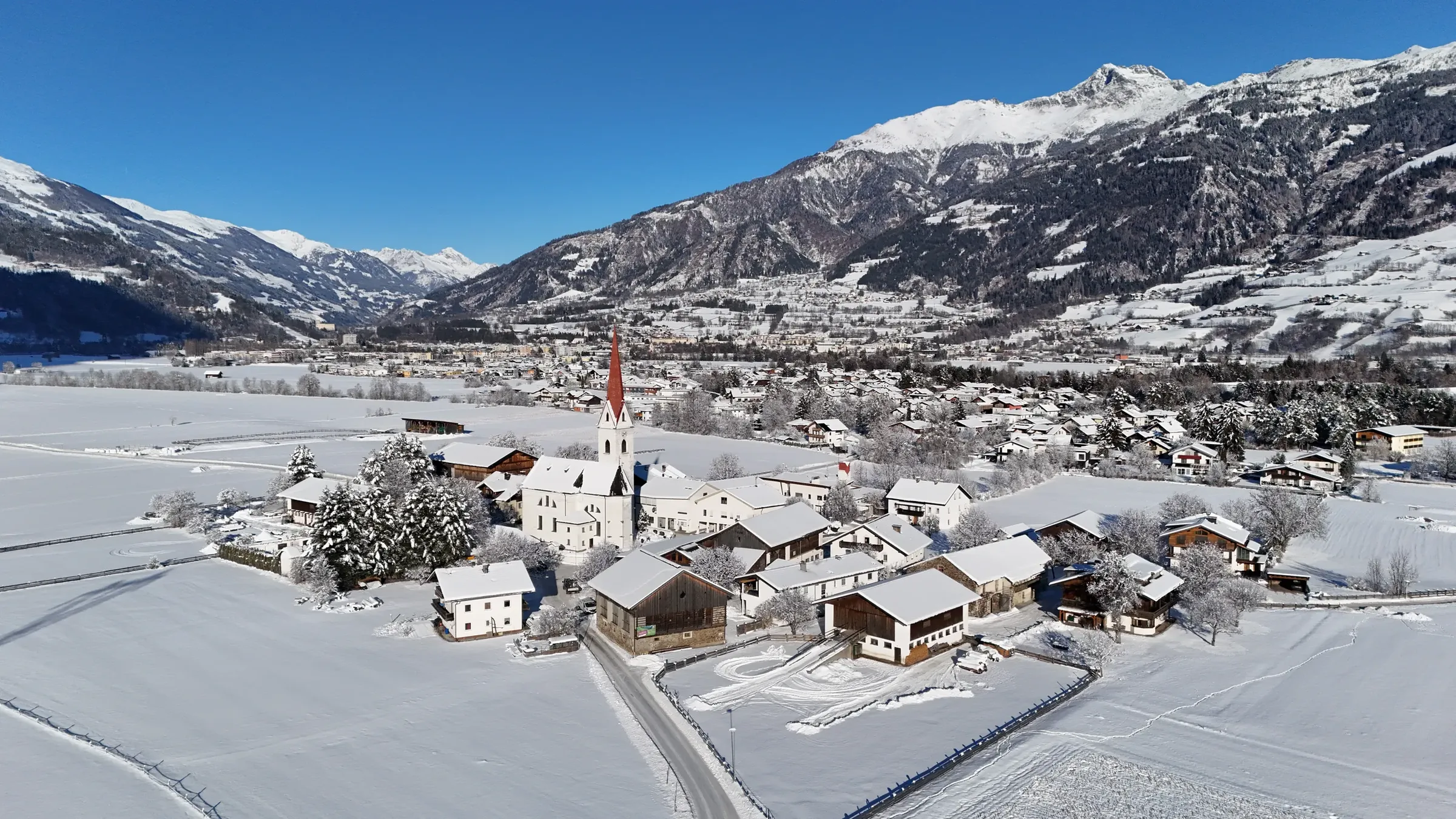
    The district is made up of 33 municipalities. Lienz is the only town and the hub for work, schools, shopping, healthcare and culture. Matrei in Osttirol, Sillian and Nußdorf-Debant are market towns; the rest are villages, some with only a few hundred residents, where farming, crafts and tourism still shape daily life. The Osttirol map (in German) shows how the villages are spread across the valleys.

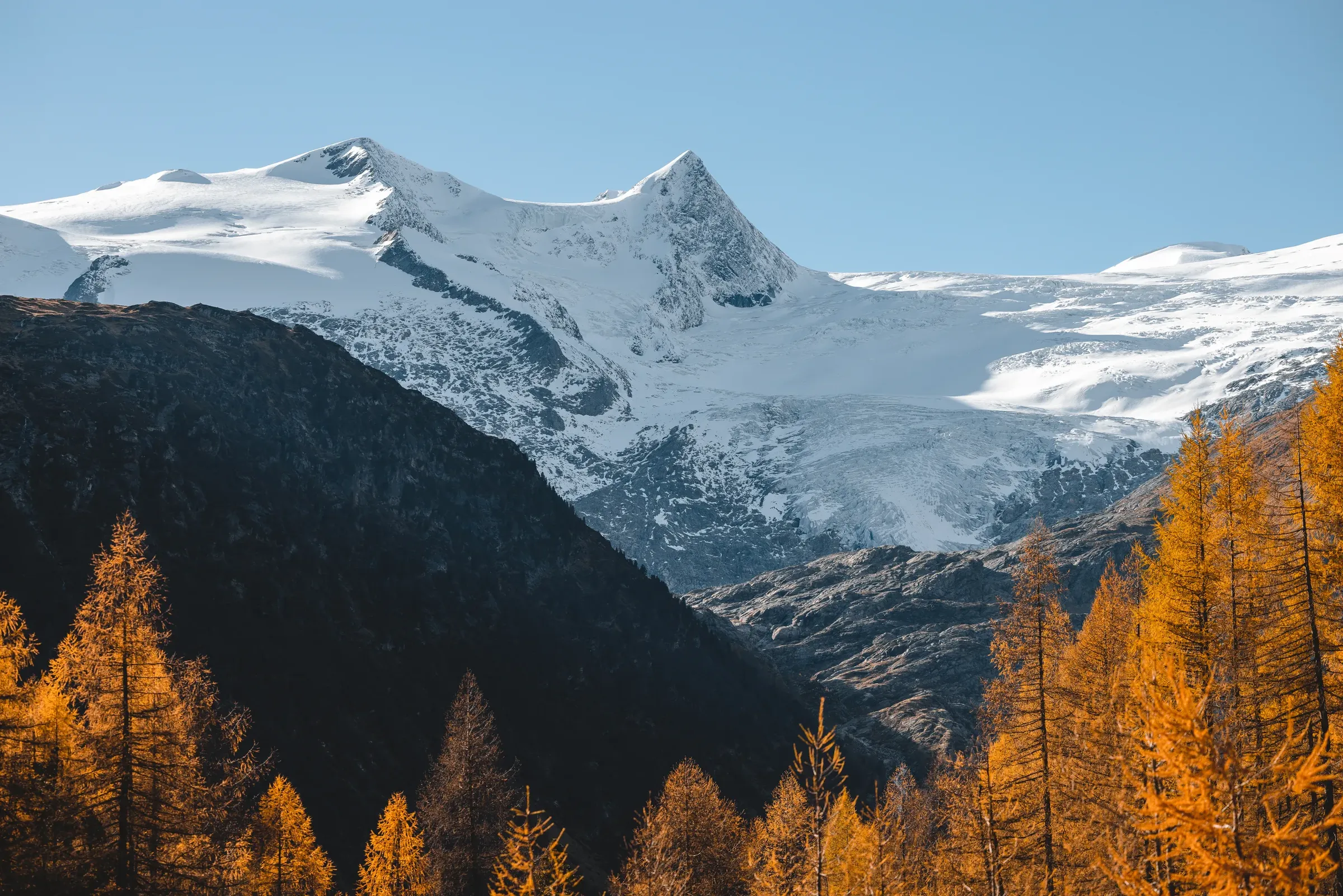
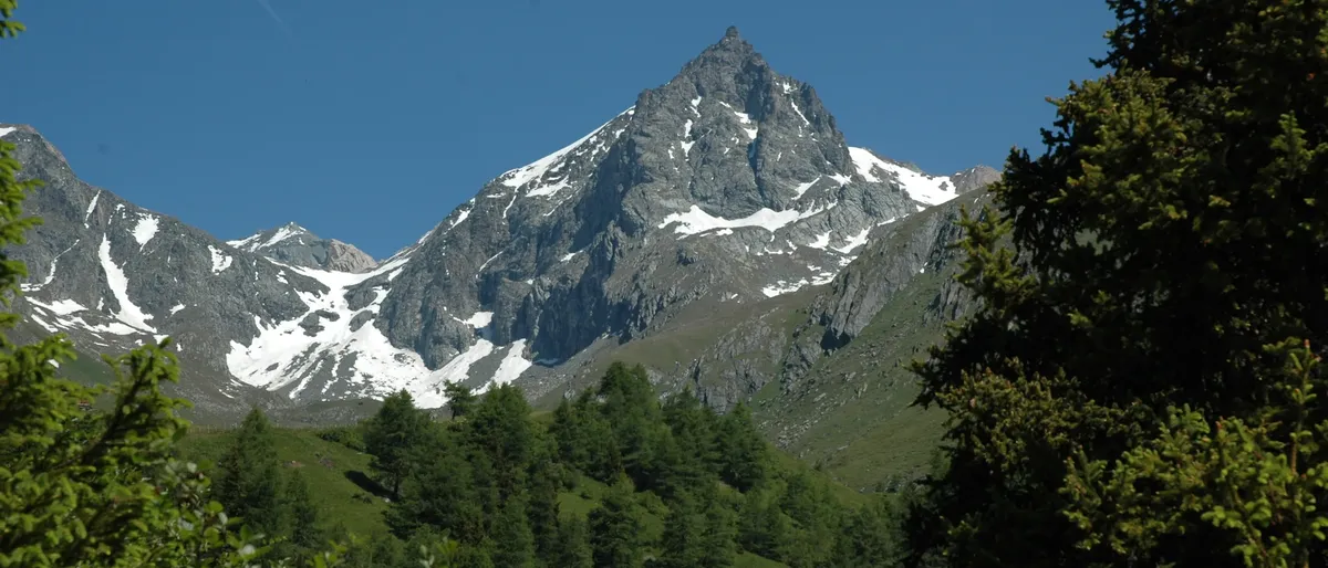
  • Pointed peak with snowfields above conifer forest near Prägraten
    © TVB Osttirol / CK Isep

    Mountains to the north and south

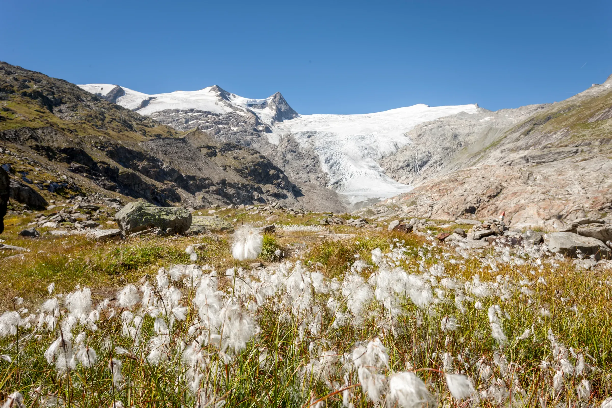
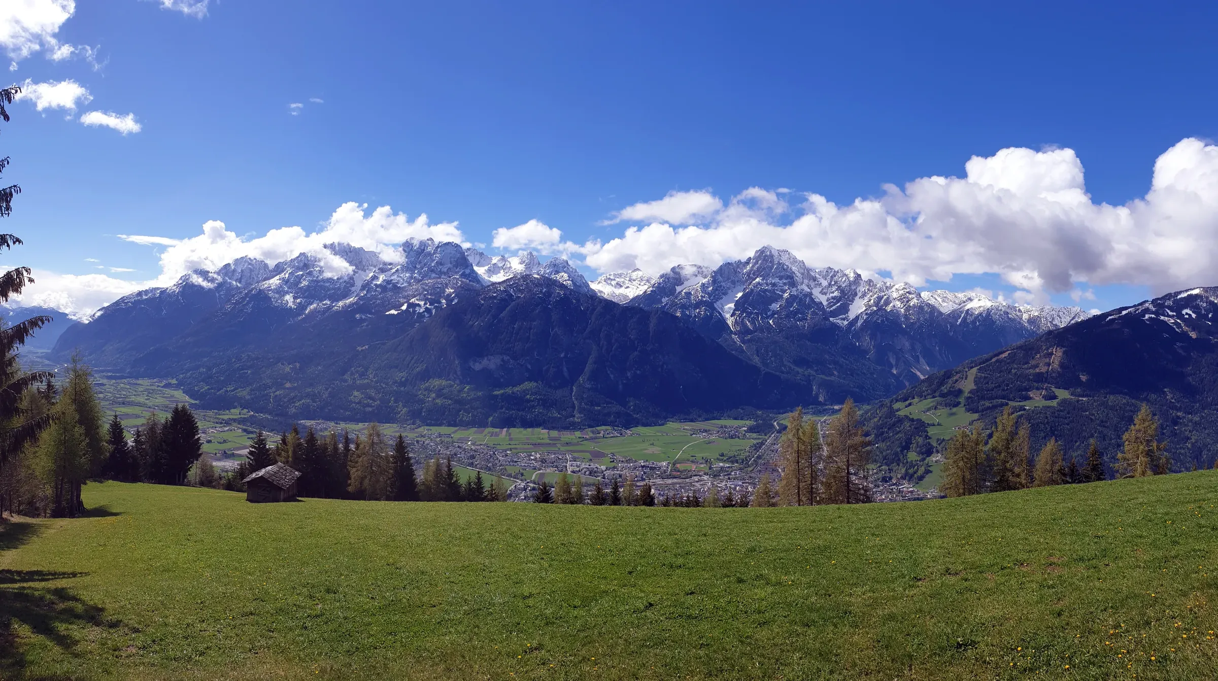
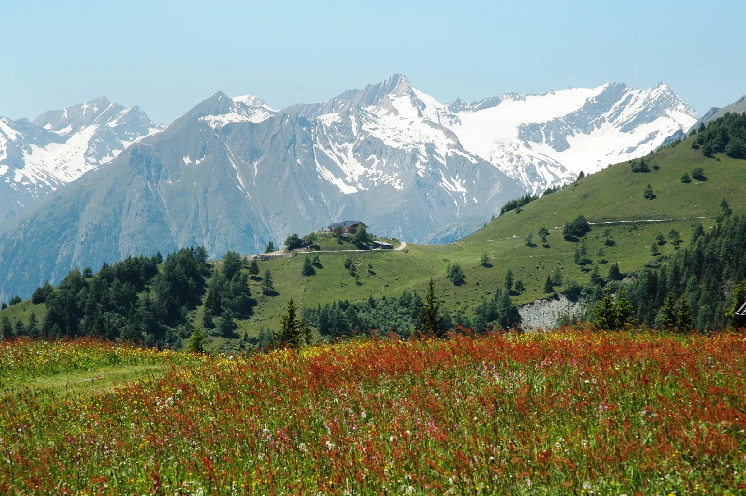
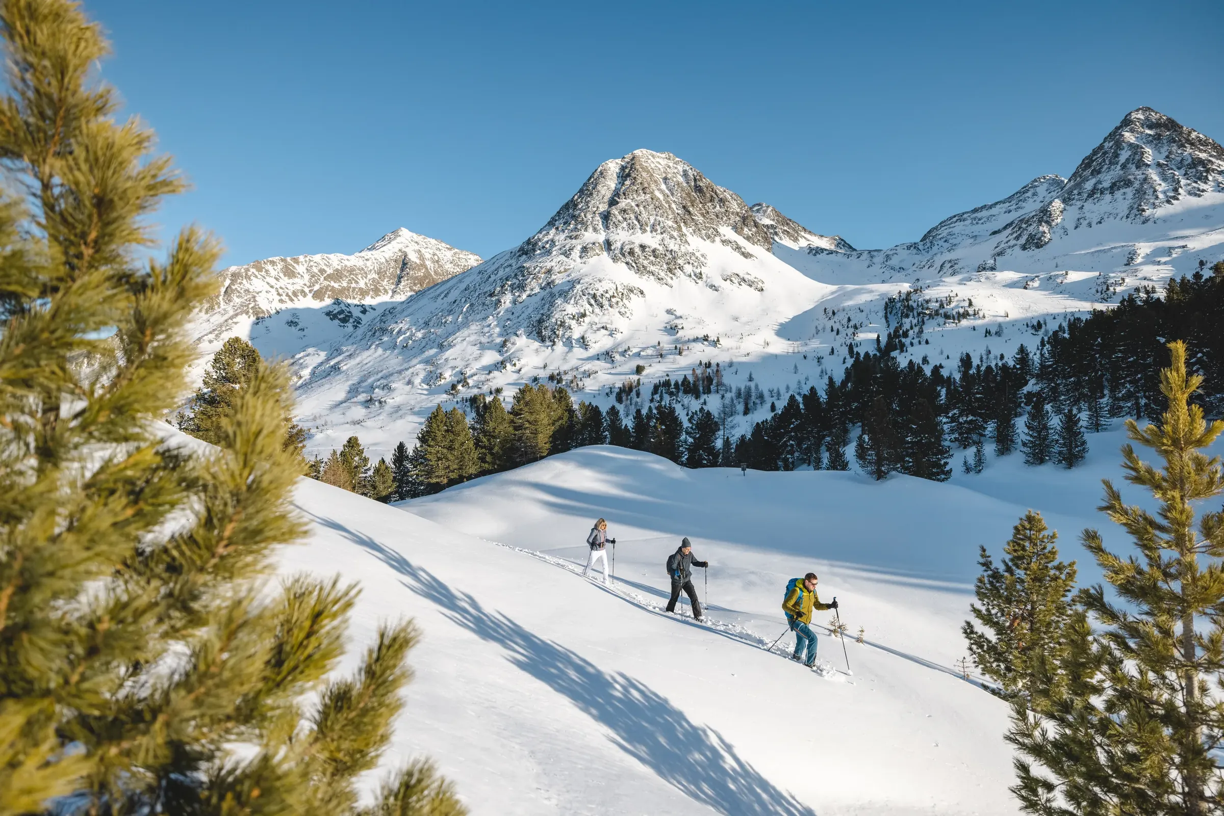
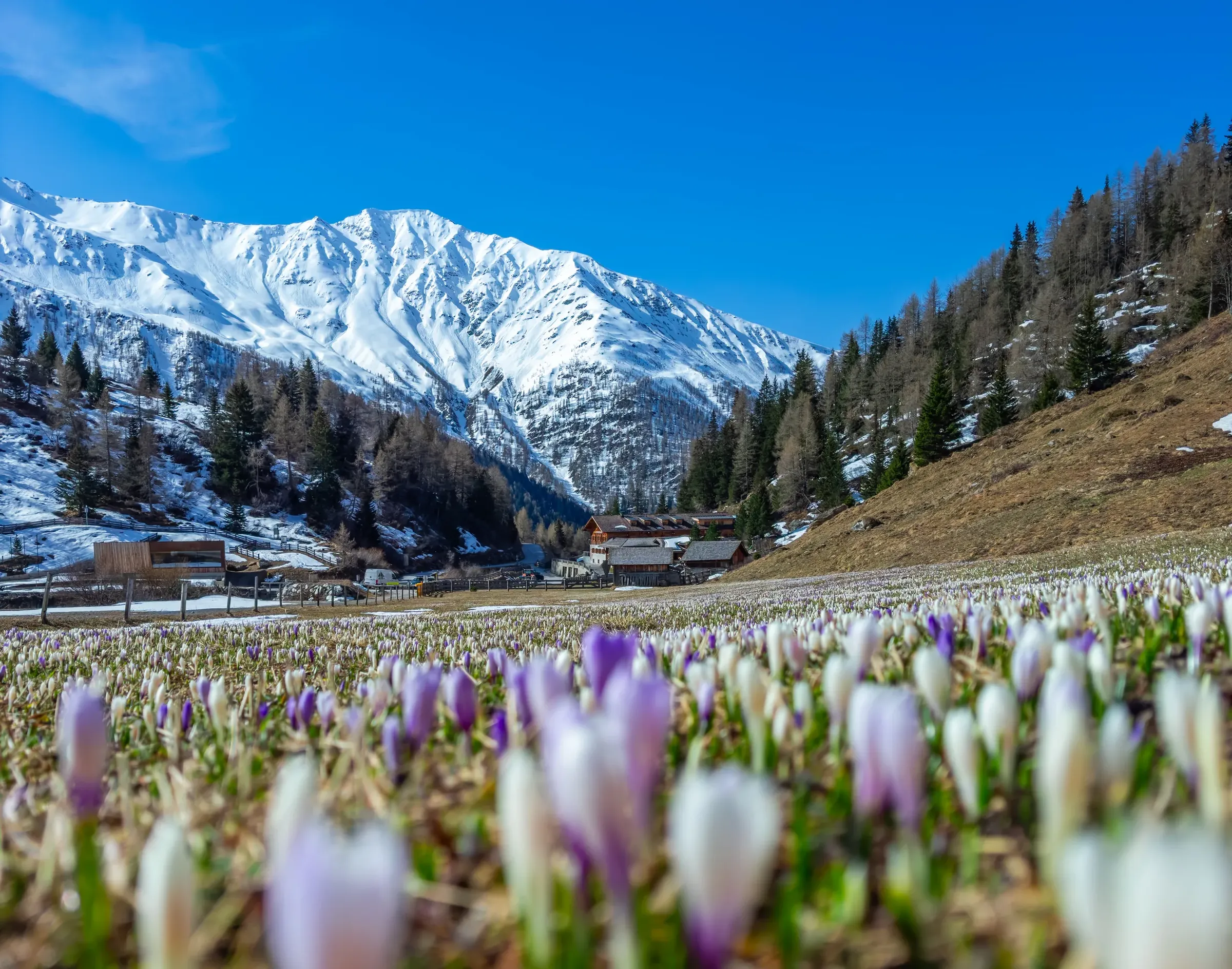
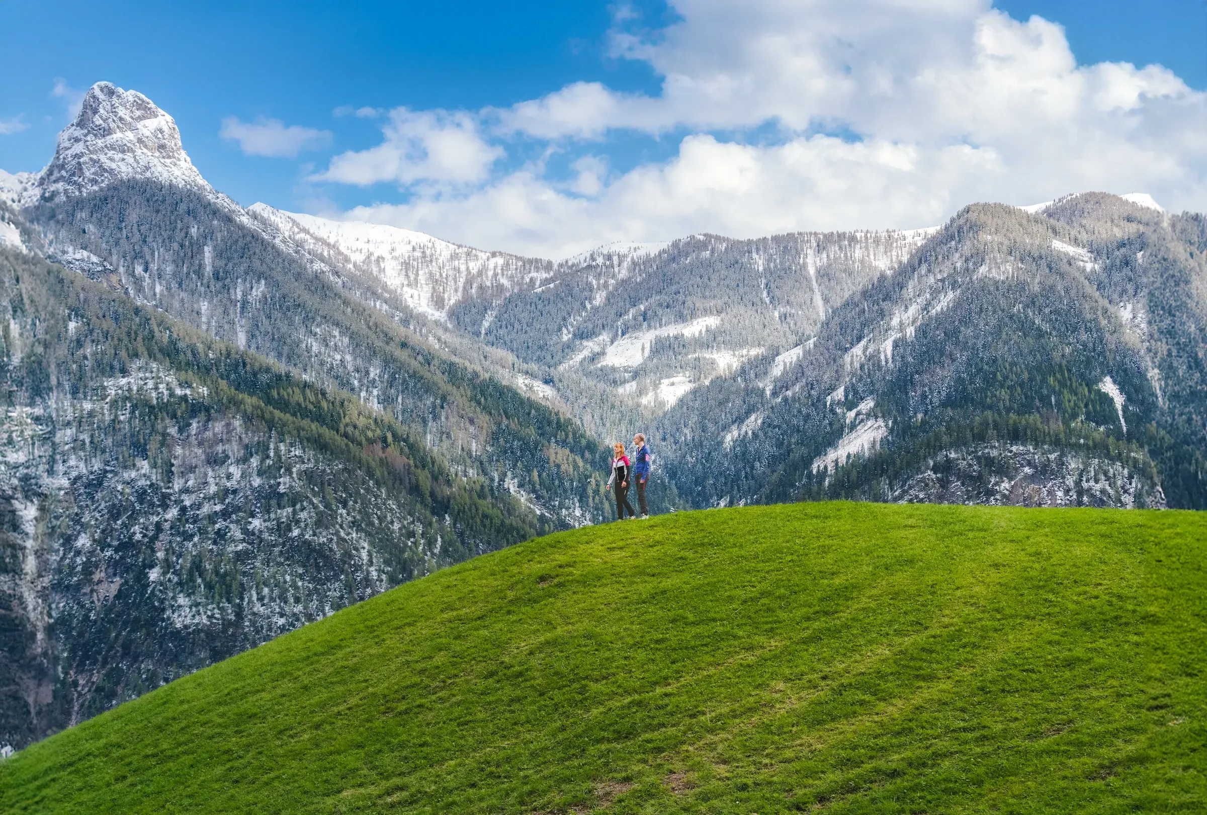
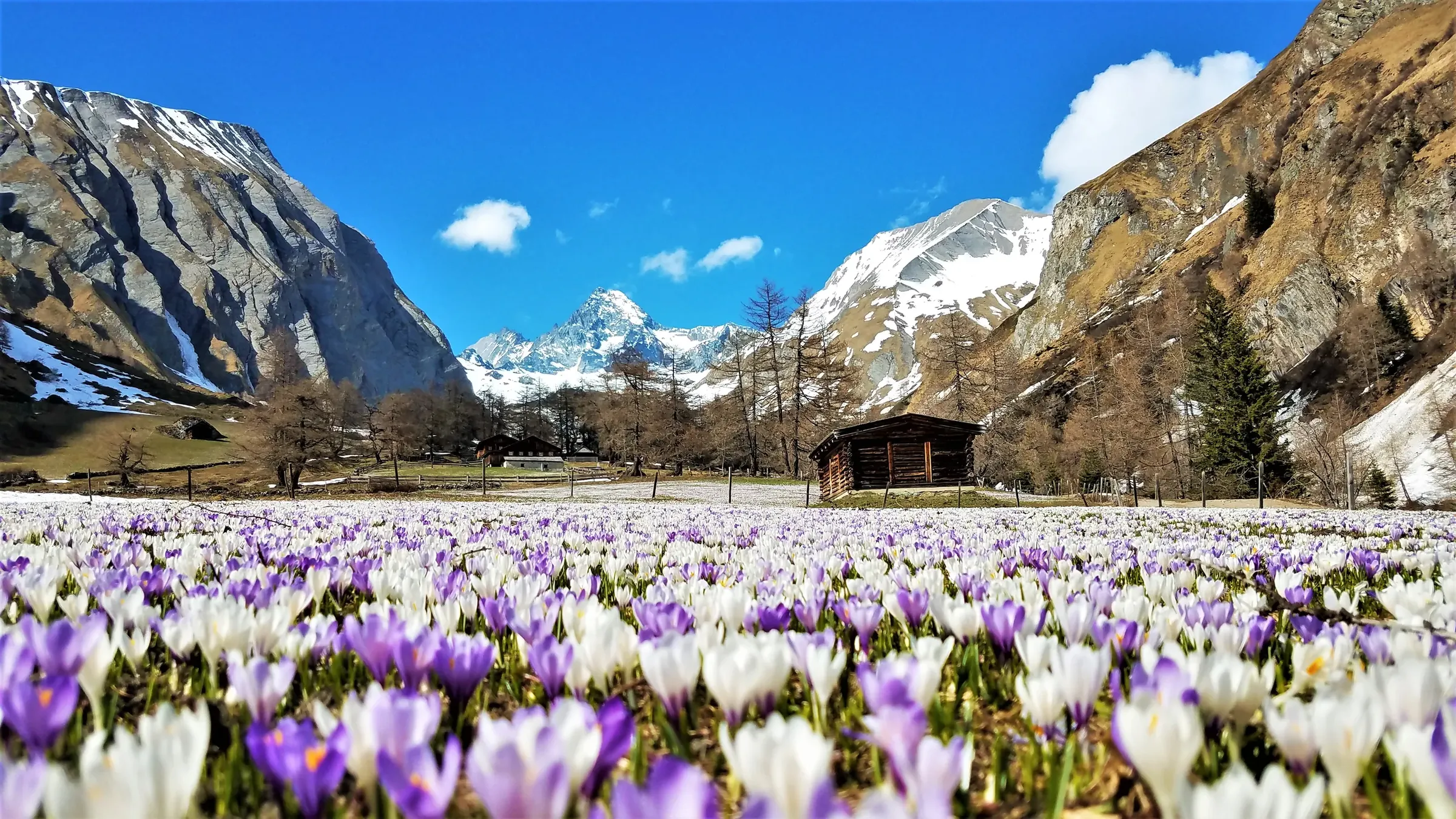
    The north is dominated by the Hohe Tauern, with the Großglockner (3,798 m), Austria's highest mountain, and the Großvenediger (3,657 m). Much of this high country lies within the Hohe Tauern National Park. To the south, the pale limestone walls of the Lienz Dolomites rise straight above the town, and the Carnic Alps run along the Italian border further west. In between lie the Villgraten Mountains and the ranges around the Defereggental. The district has 266 summits over 3,000 metres.
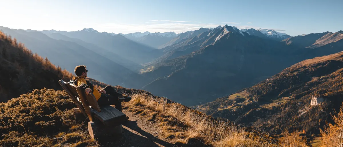
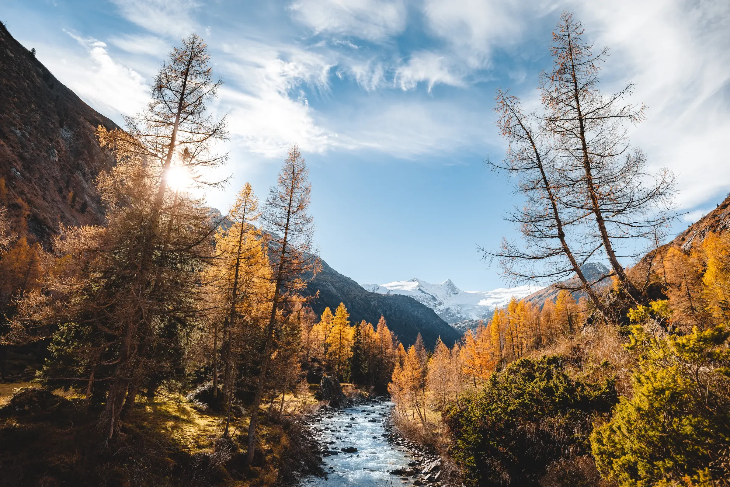
  • Person sitting on a bench above the Virgental in autumn light
    © TVB Osttirol / Nationalpark Hohe Tauern / Mathäus Gartner

    The valleys

    • Lienz basin: the wide, sunny valley floor where the Isel joins the Drava (Drau).
    • Isel valley: runs north from Lienz to Matrei and branches into the Virgental, Defereggental and Kalser Tal.
    • Puster Valley (Pustertal and Hochpustertal): the Drava valley west of Lienz, up to the border at Sillian and on into South Tyrol.
    • Villgratental and Gailtal/Lesachtal: two quiet high valleys north and south of the Puster Valley, both members of the Alpine Clubs' "mountaineering villages" network.
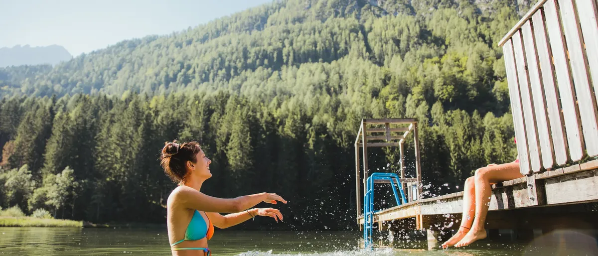
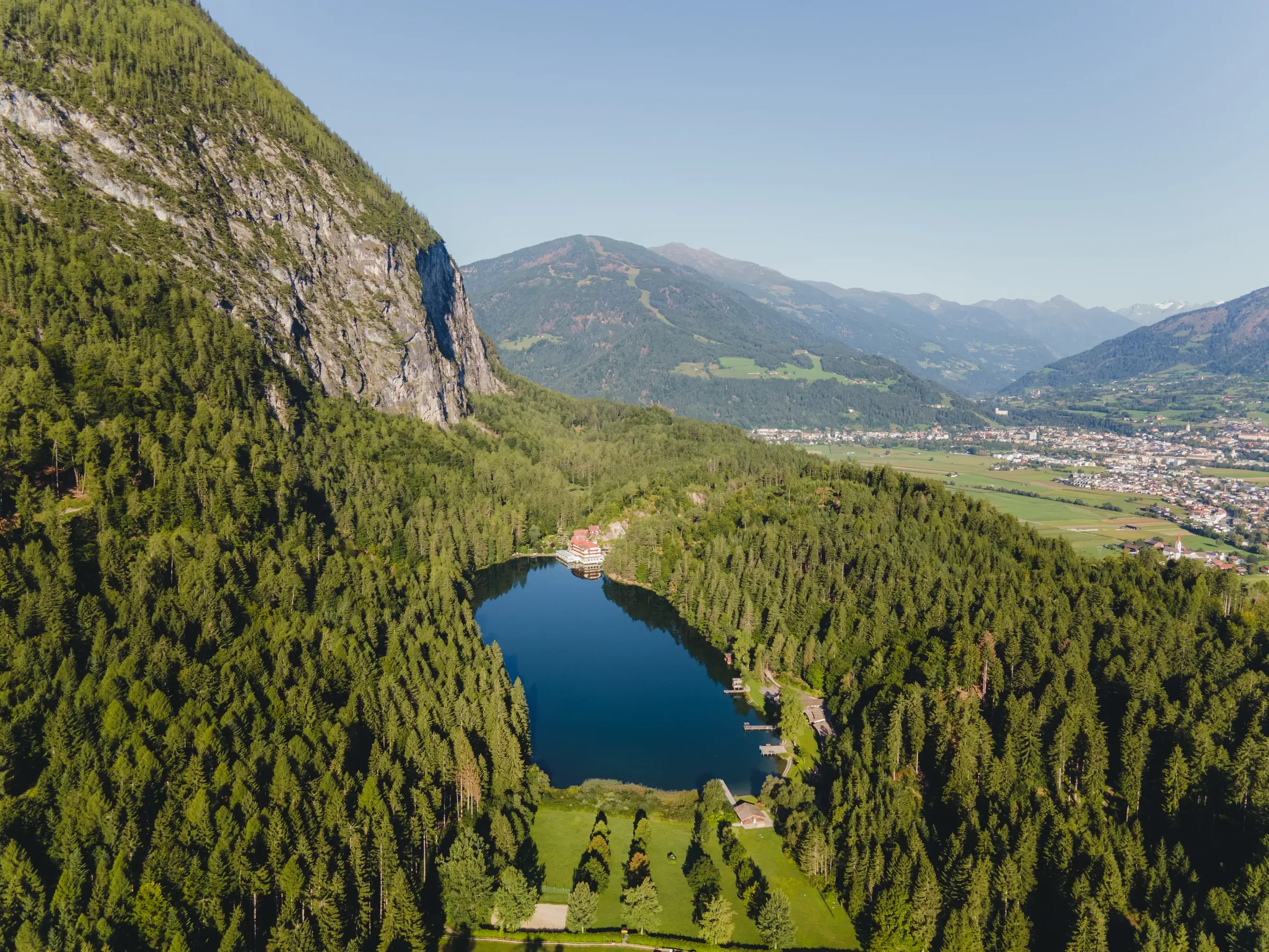
  • Person in the lake splashing water, a jetty with a diving tower beside
    © TVB Osttirol / Elias Bachmann

    Climate

    Lying on the southern side of the Alps, Osttirol often enjoys different weather from the regions north of the Tauern ridge. Lienz records around 2,100 hours of sunshine a year (1991 to 2020 average, GeoSphere Austria). Summer days on the valley floor are warm with cool nights, while winters are cold and the higher valleys get plenty of snow.

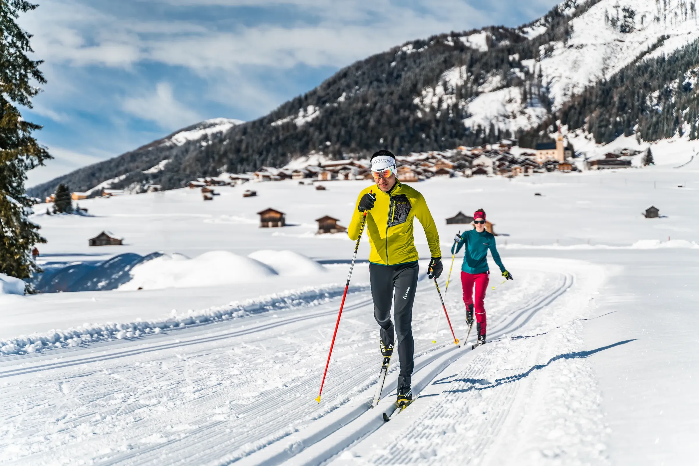
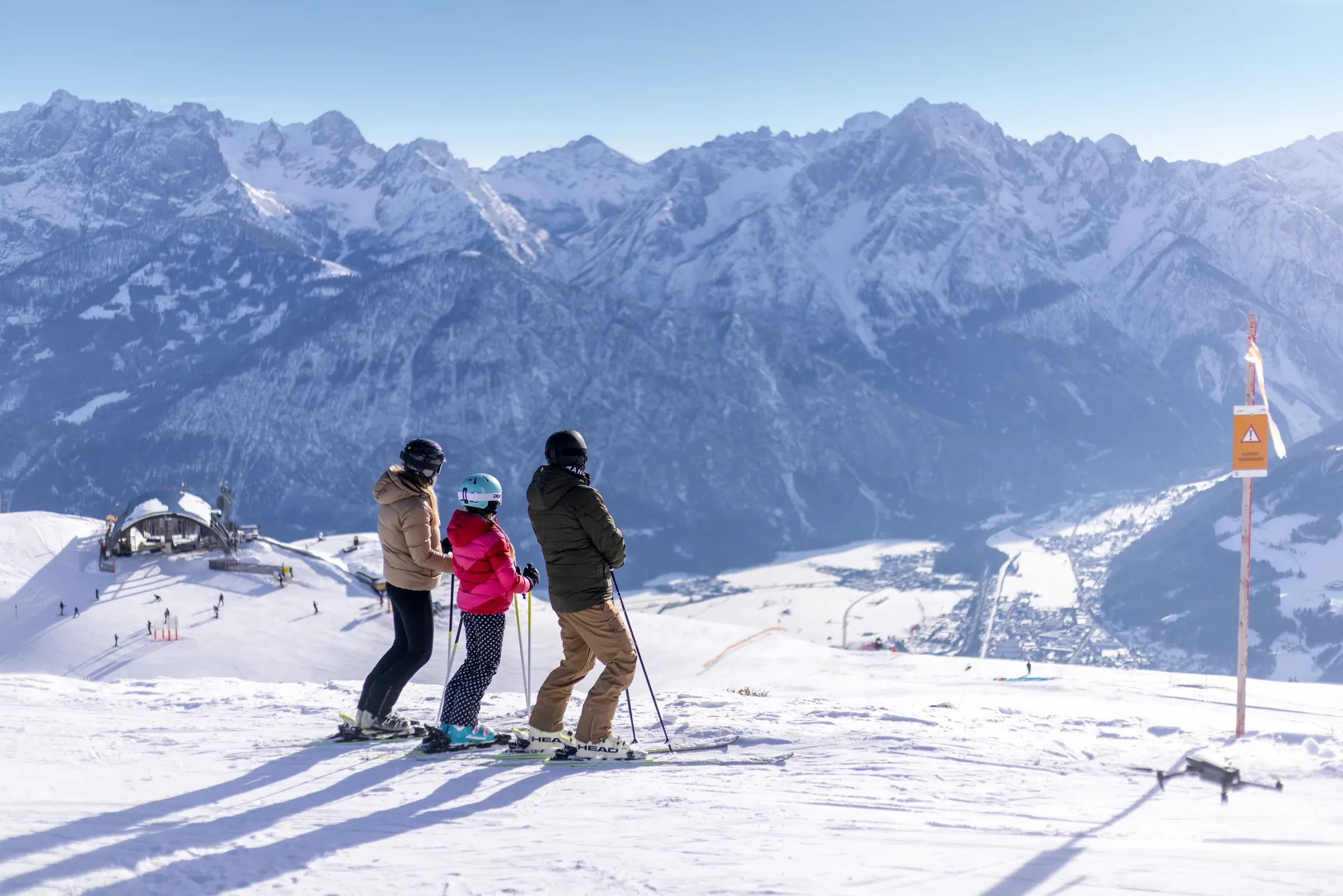
    Best time to visit: As a general guide, June to September suits hiking and cycling. Skiing usually runs from December to March, sometimes into April, depending on snow and lift operations. Check current information with each operator before travelling.

    For current conditions, see the weather data (in German) and the webcams (in German).

More about Osttirol

Find accommodation

Explore hotels, holiday apartments and huts in our German-language accommodation overview.