Lienz Dolomites

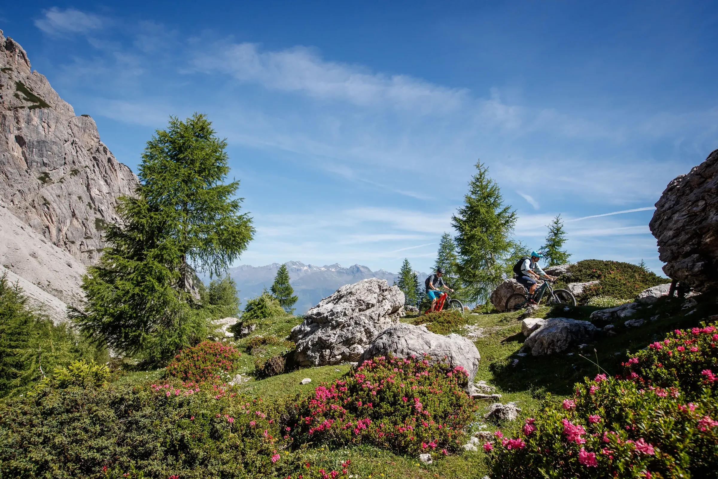
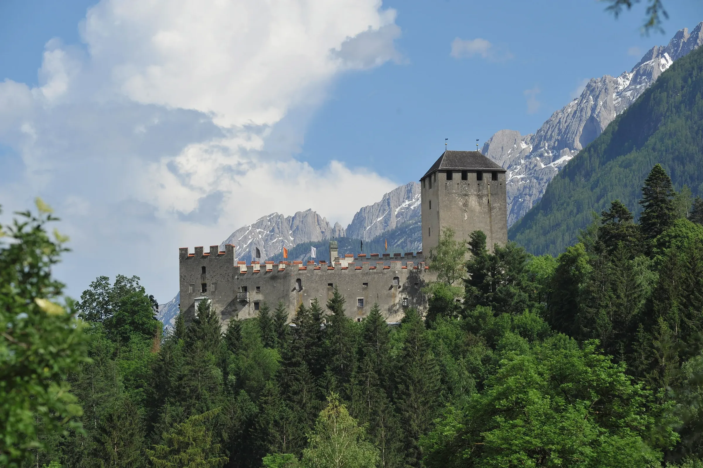
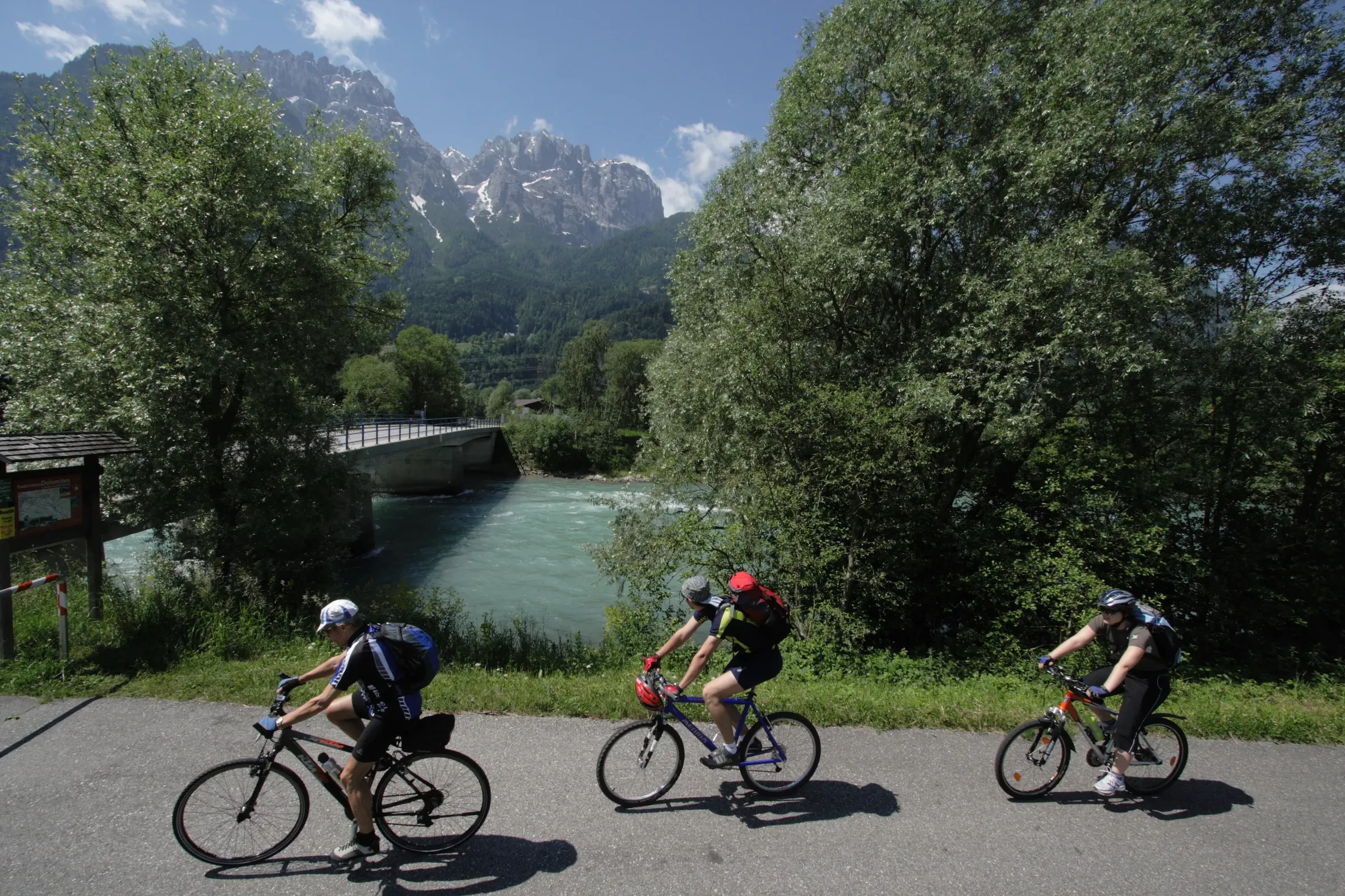
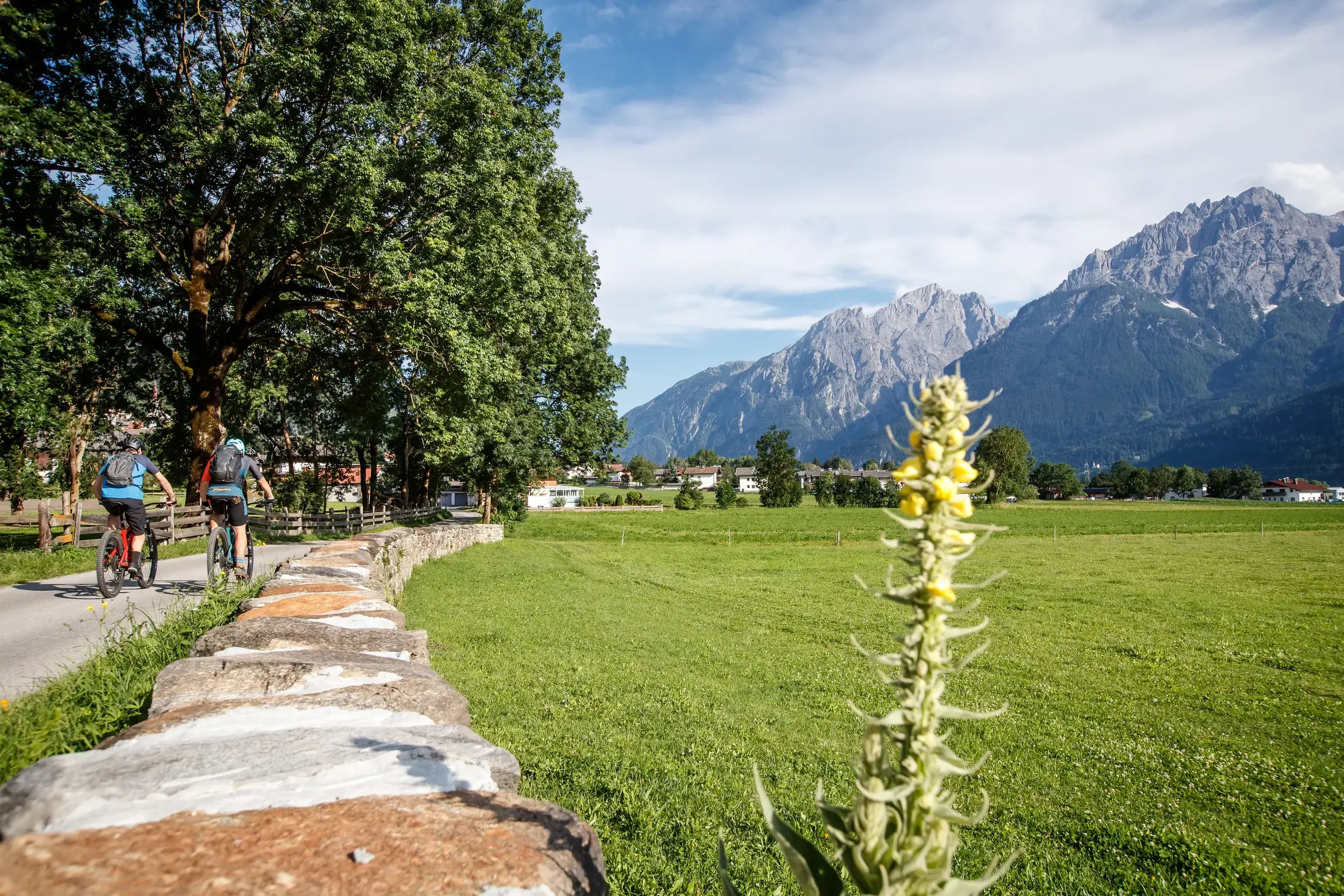
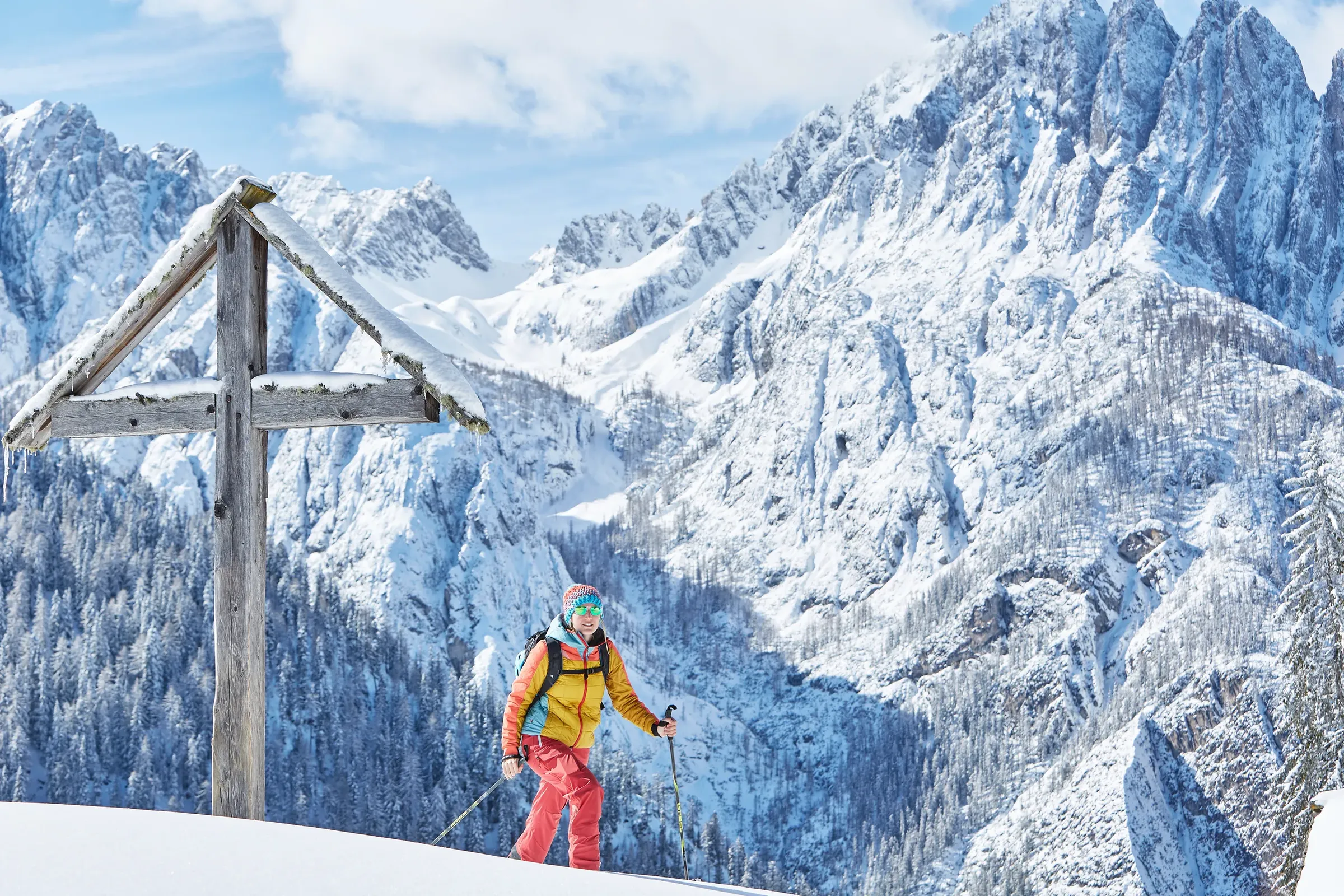
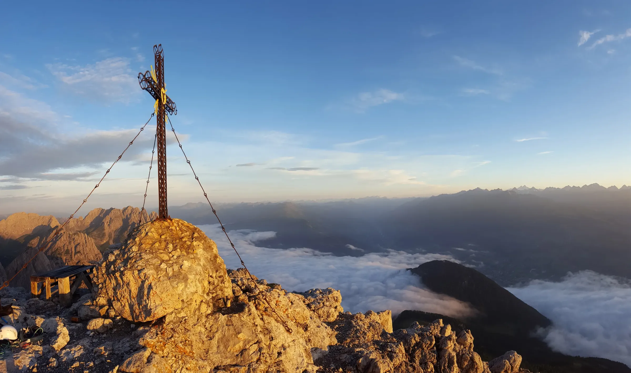
Pale rock towers rising straight above town: the Lienz Dolomites are a hiking area, a climbing playground and a postcard view all in one.

Image credit: © TVB Osttirol / Sam Strauss

At a glance

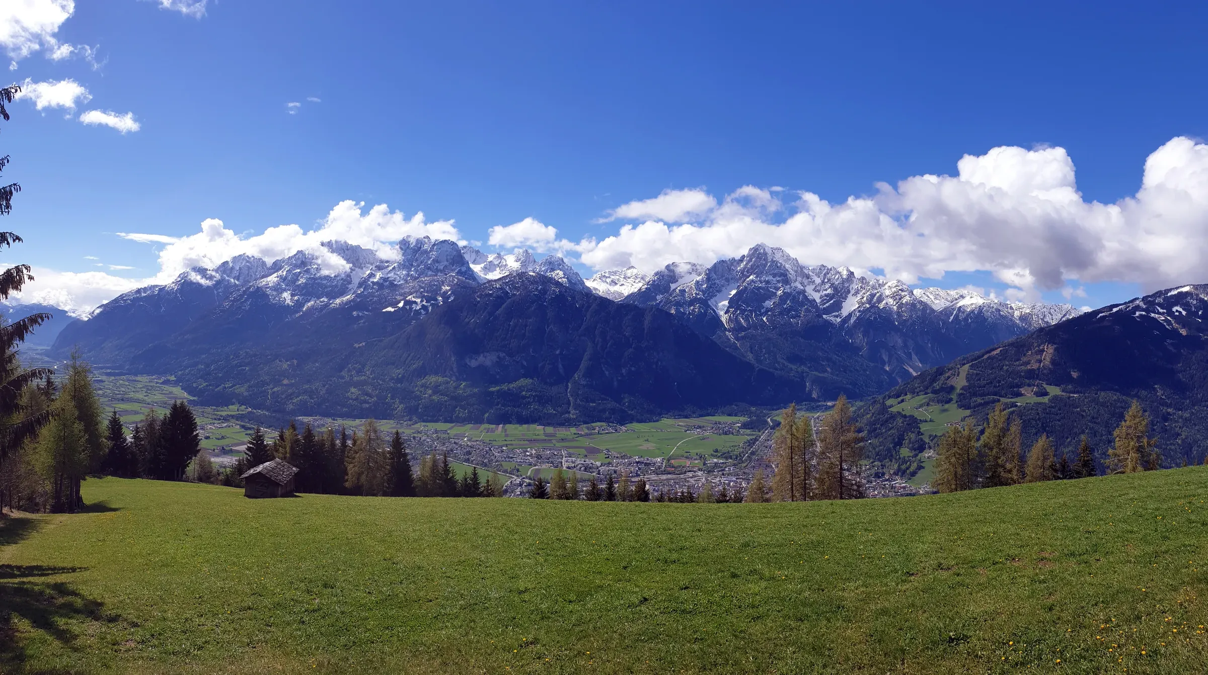
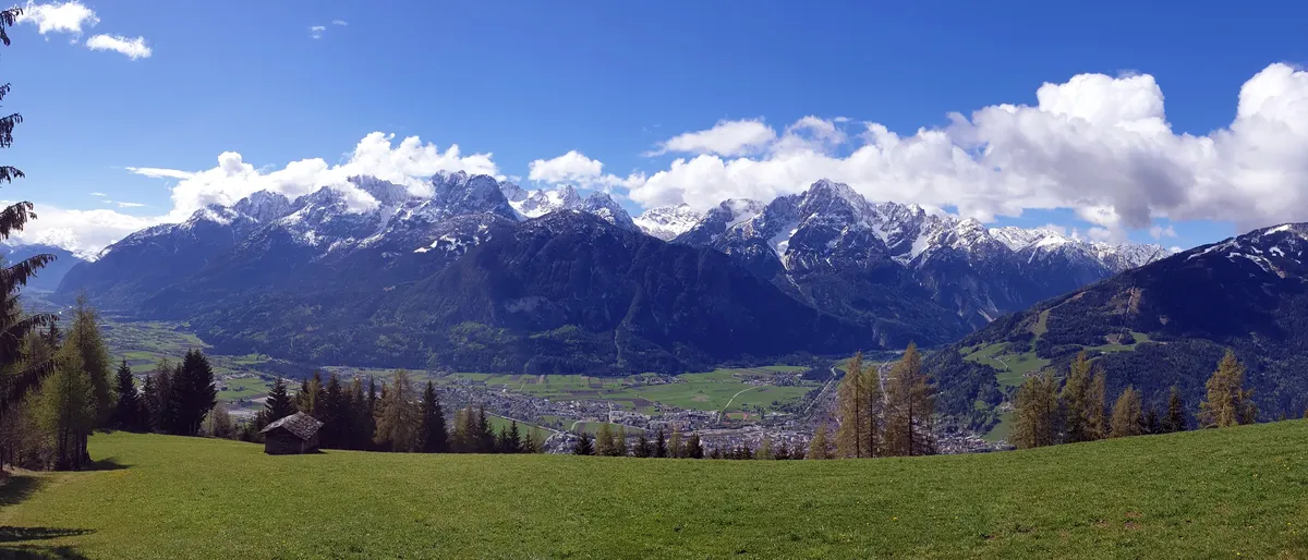
  • Panorama of the snowy Lienz Dolomites above the green Lienz valley floor
    © TVB Osttirol / Johanna Troyer

    Dolomites in name, a range of their own

    The Lienz Dolomites form the western part of the Gailtal Alps, between the Drava (Drau) and Gail valleys. They take their name from the pale dolomite rock they are built of, a name the Lienz section of the Alpine Club introduced in 1885. They share the rock and jagged shapes of the famous Dolomites in South Tyrol and the Veneto, but are a separate range and not part of them. The highest summit is the Große Sandspitze at around 2,770 metres; seen from Lienz, the most striking peak is the Spitzkofel (2,718 m) towering over the south-west of the valley.
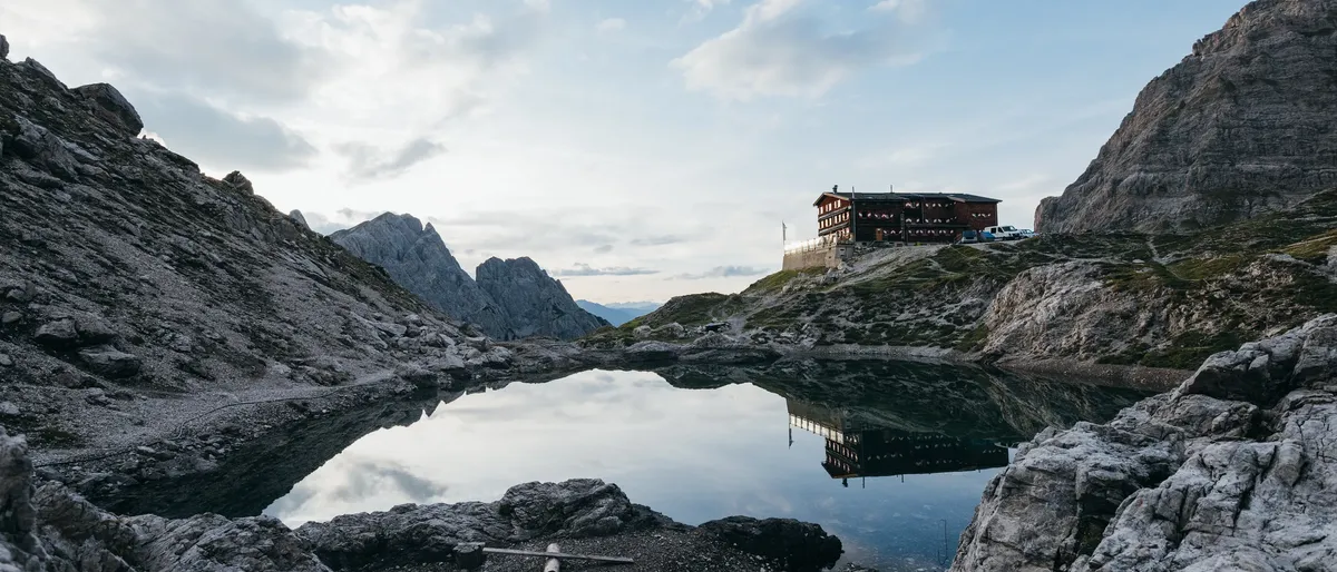
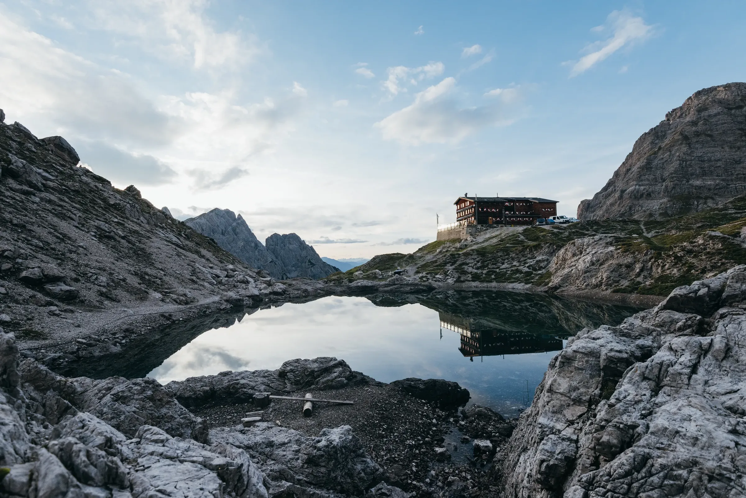
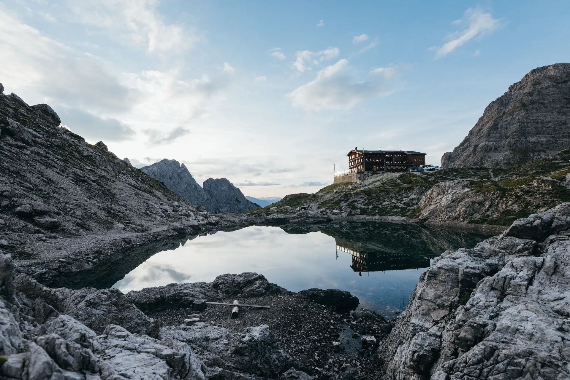
  • The Karlsbader Hütte above the Laserzsee between pale limestone rocks of the Lienz Dolomites
    © TVB Osttirol / Sam Strauss

    Dolomitenhütte and Karlsbader Hütte

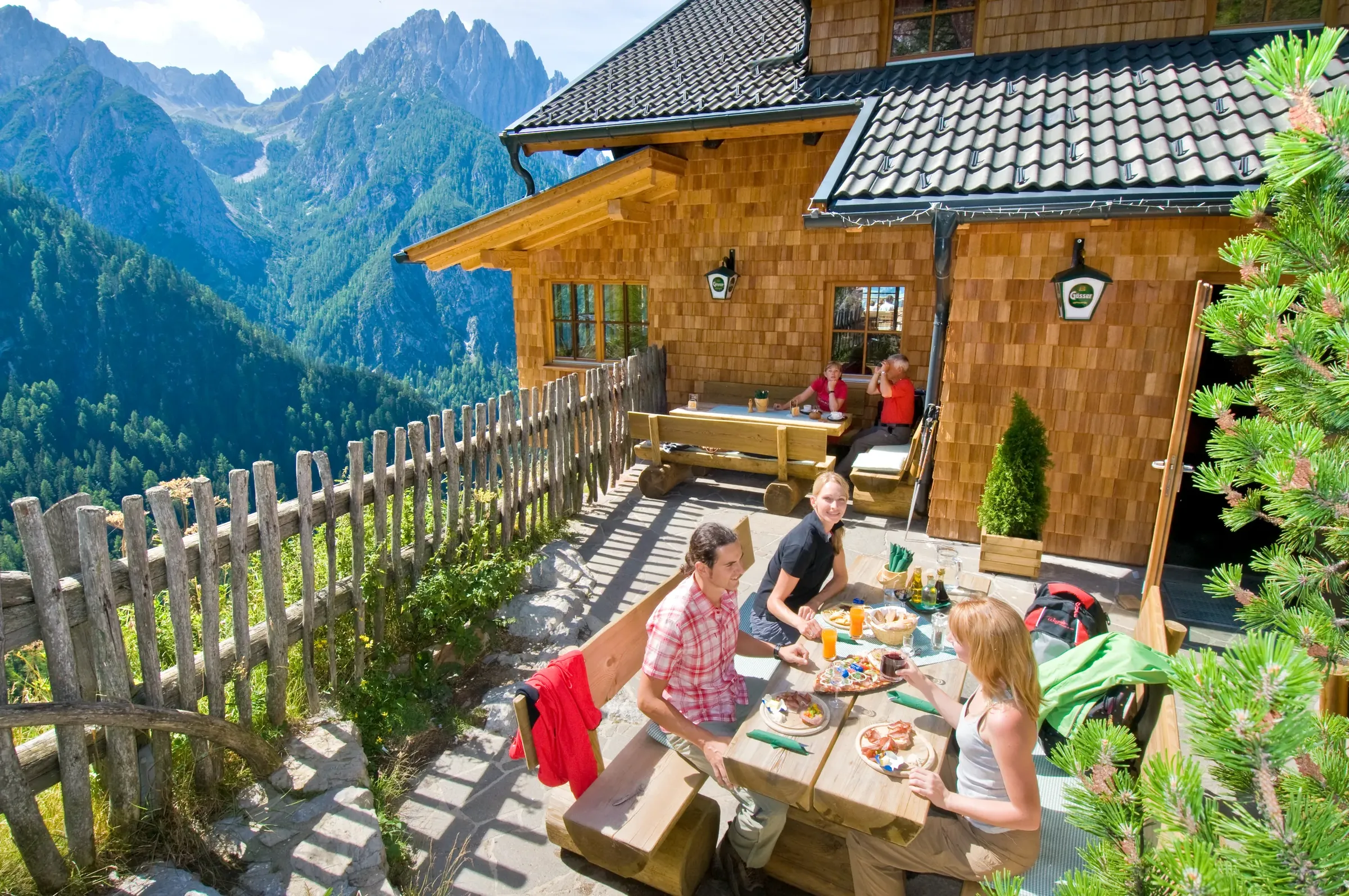
    The easiest way in is a toll road up to the Dolomitenhütte at just over 1,600 metres, a popular spot for its terrace high above the valley. From there it is about a two-hour hike to the Karlsbader Hütte (2,260 m), run by the Karlsbad section of the German Alpine Club. It sits right on the shore of Lake Laserz, ringed by the Laserzwand, Roter Turm and Simonskopf, and is usually open from mid-June to the end of September. Other bases include the Kerschbaumeralm hut (1,902 m) and the high Linderhütte bivouac (2,683 m, unstaffed), both looked after by the Lienz section of the Austrian Tourist Club (ÖTK). To the west, the Gailtaler Höhenweg (no. 229) runs from Kartitsch via Obertilliach to Untertilliach.

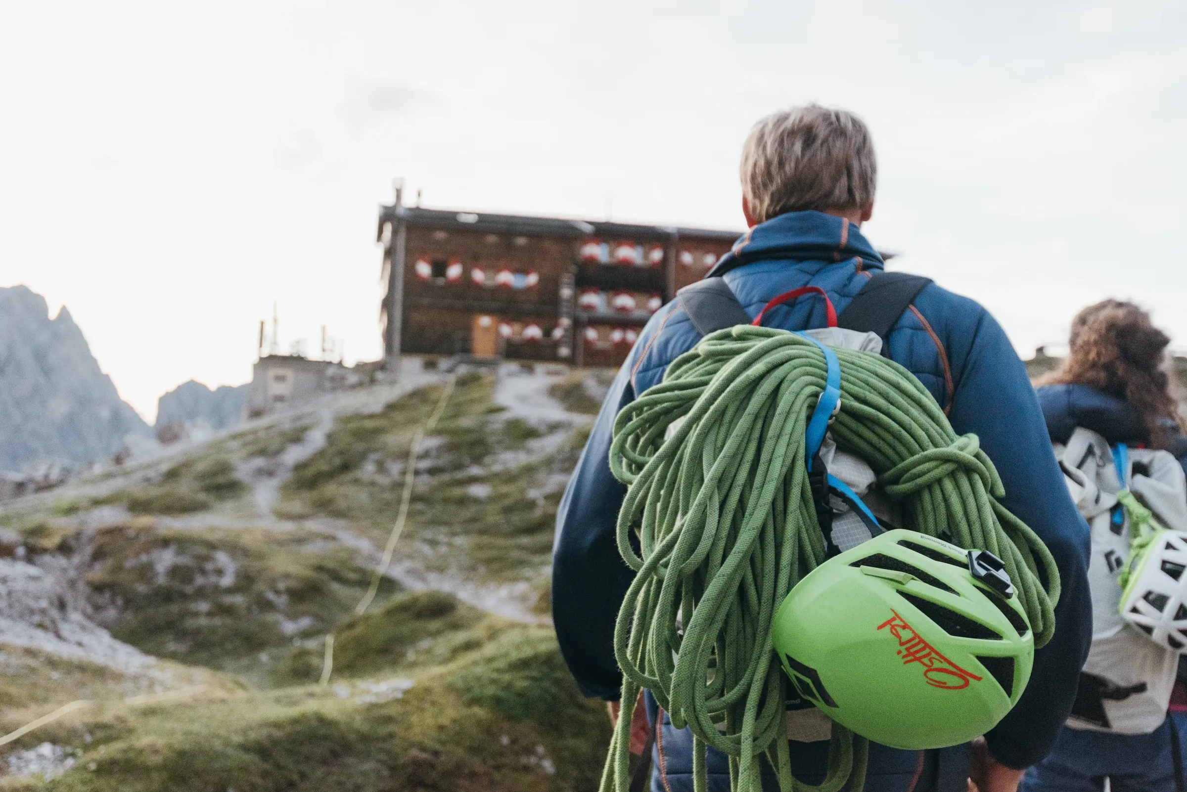
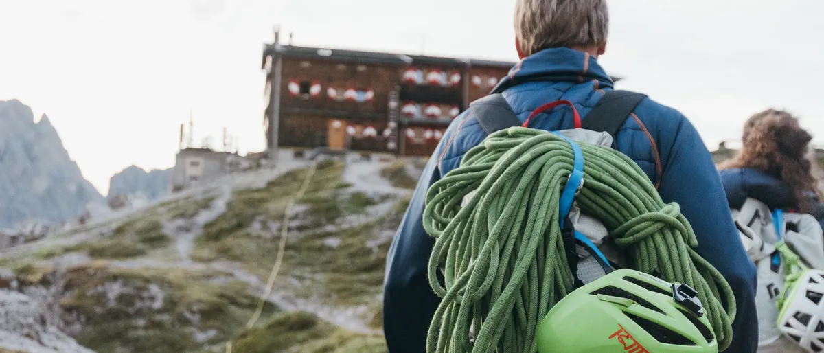
  • Person with a climbing rope and helmet on the backpack in front of the Karlsbader Hütte
    © TVB Osttirol / Sam Strauss

    Climbing and via ferratas

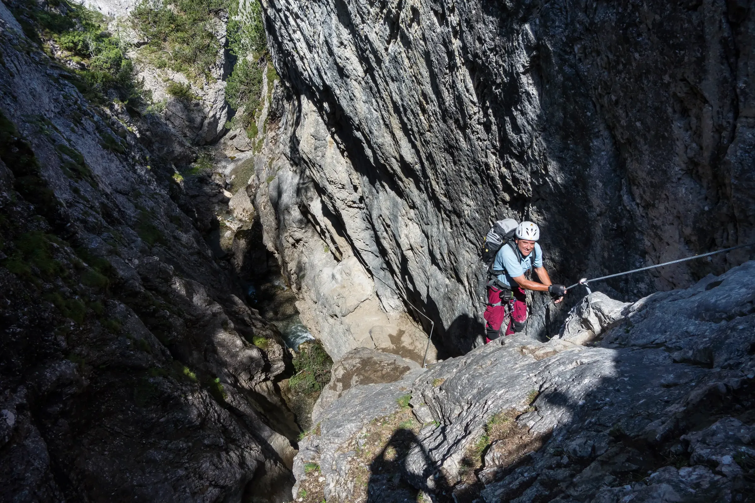
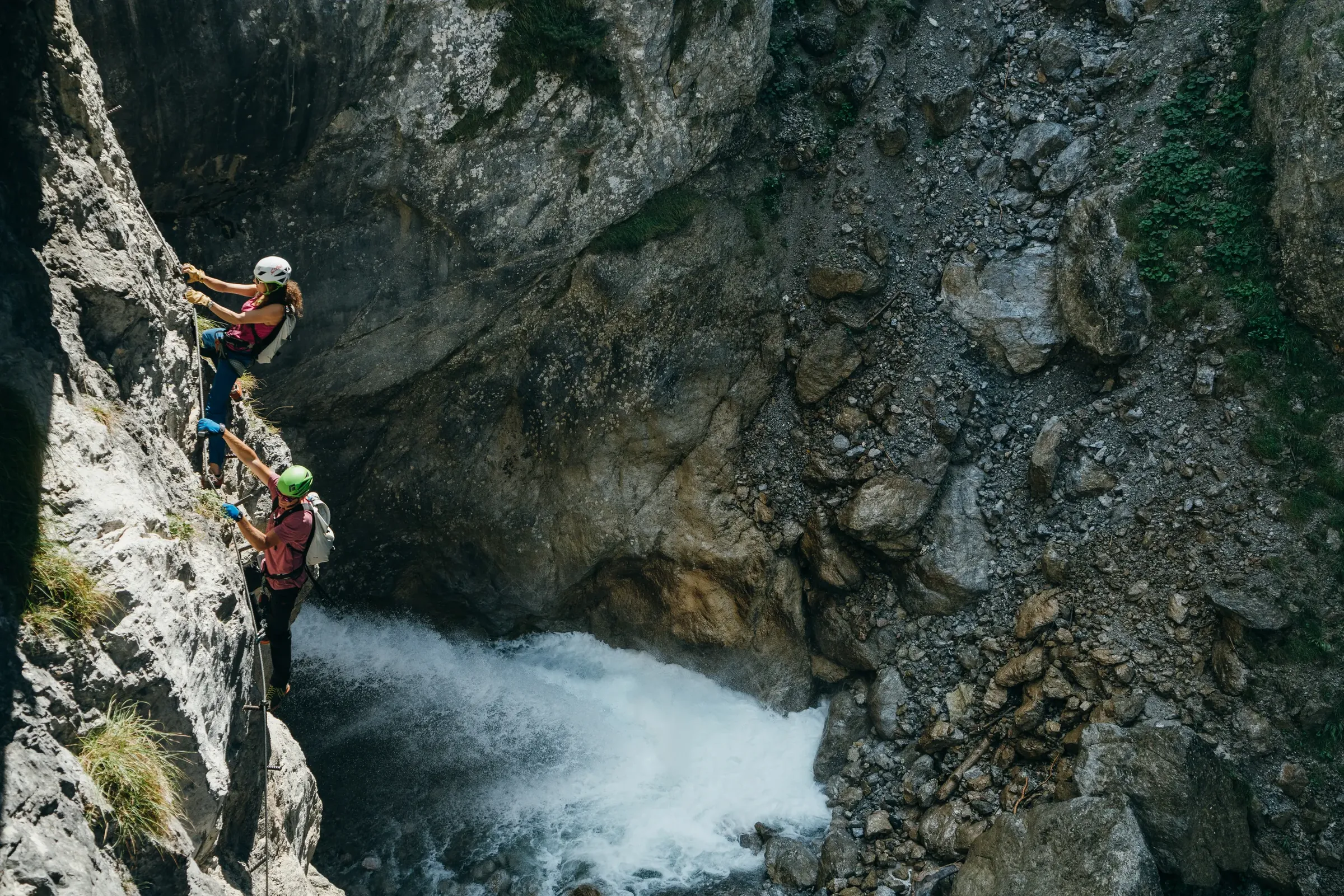
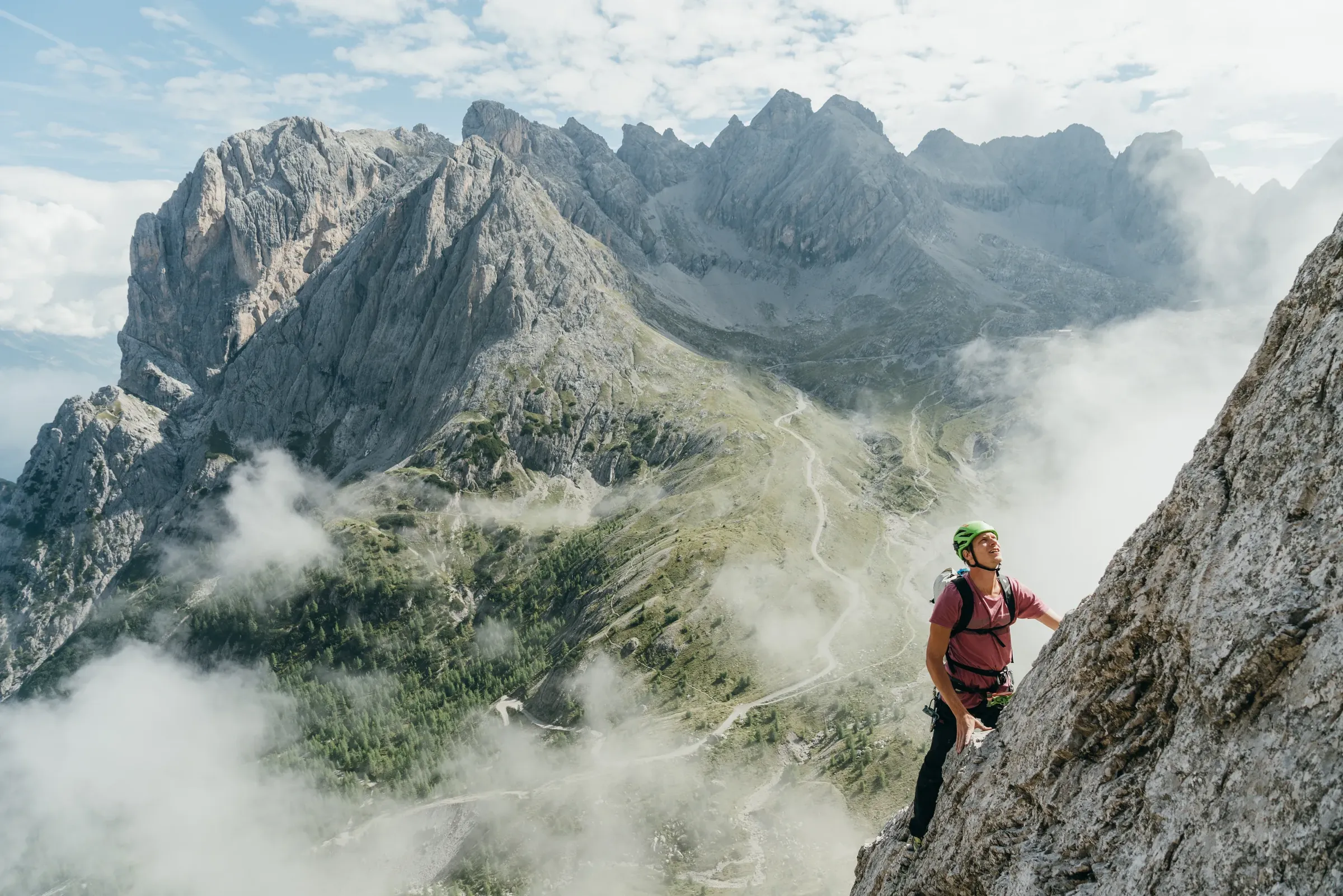
    The area around Lake Laserz offers a large number of climbing routes, especially on the Laserzwand, plus several via ferratas of varying difficulty. For a shorter outing, head to the Galitzenklamm gorge near Leisach and Amlach, just west of Lienz. An adventure trail leads into the gorge, and several via ferratas cross directly above the water, from an easy family route to some very demanding lines. The entrance is right on the Drava cycle path.

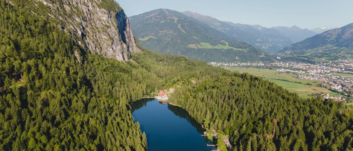
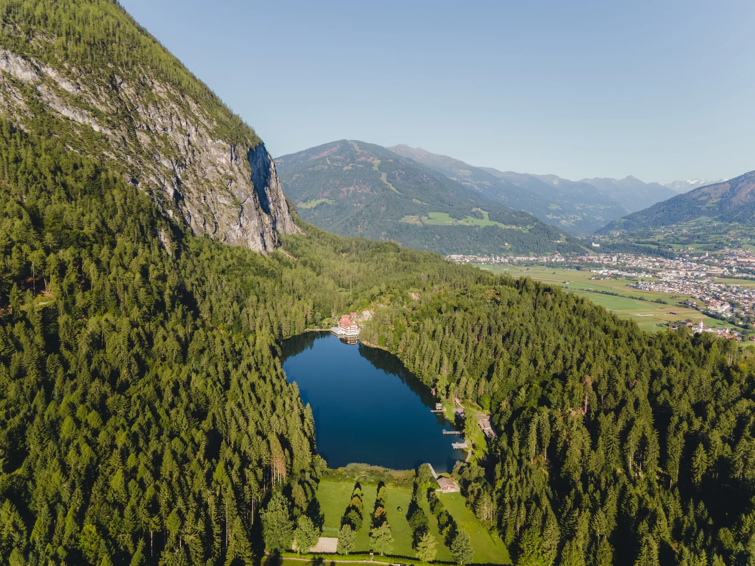
  • Aerial view of the Tristacher See in the forest below a rock face, Lienz behind
    © TVB Osttirol / Elias Bachmann

    Tristacher See

    At the foot of the Rauchkofel, about five kilometres from Lienz and just over 820 metres up, lies the Tristacher See. Not quite 500 metres long, it is regarded as Osttirol's only natural swimming lake, and in summer the water usually reaches 21 to 24 degrees Celsius. The east shore has a lido and a campsite, and a footpath circles the lake.

Information

Be prepared

  • Trails into the high terrain are rocky and exposed in places, so sure footing and proper boots are essential.
  • Summer thunderstorms often build in the afternoon, so set off early and check the weather forecast (in German) first.
  • Via ferratas require a helmet and a full via ferrata kit.
  • The webcams (in German) show current conditions.
  • Hut opening times vary from year to year; check with the tourist board at osttirol.com before you go.

After your tour, head into Lienz; the restaurants (in German) page has ideas for a meal.

More about Osttirol

Find accommodation

Explore hotels, holiday apartments and huts in our German-language accommodation overview.